
Kitadake | 北岳
HIKE DATE: August 1-2, 2026
PUBLIC TRANSPORT SUMMARY
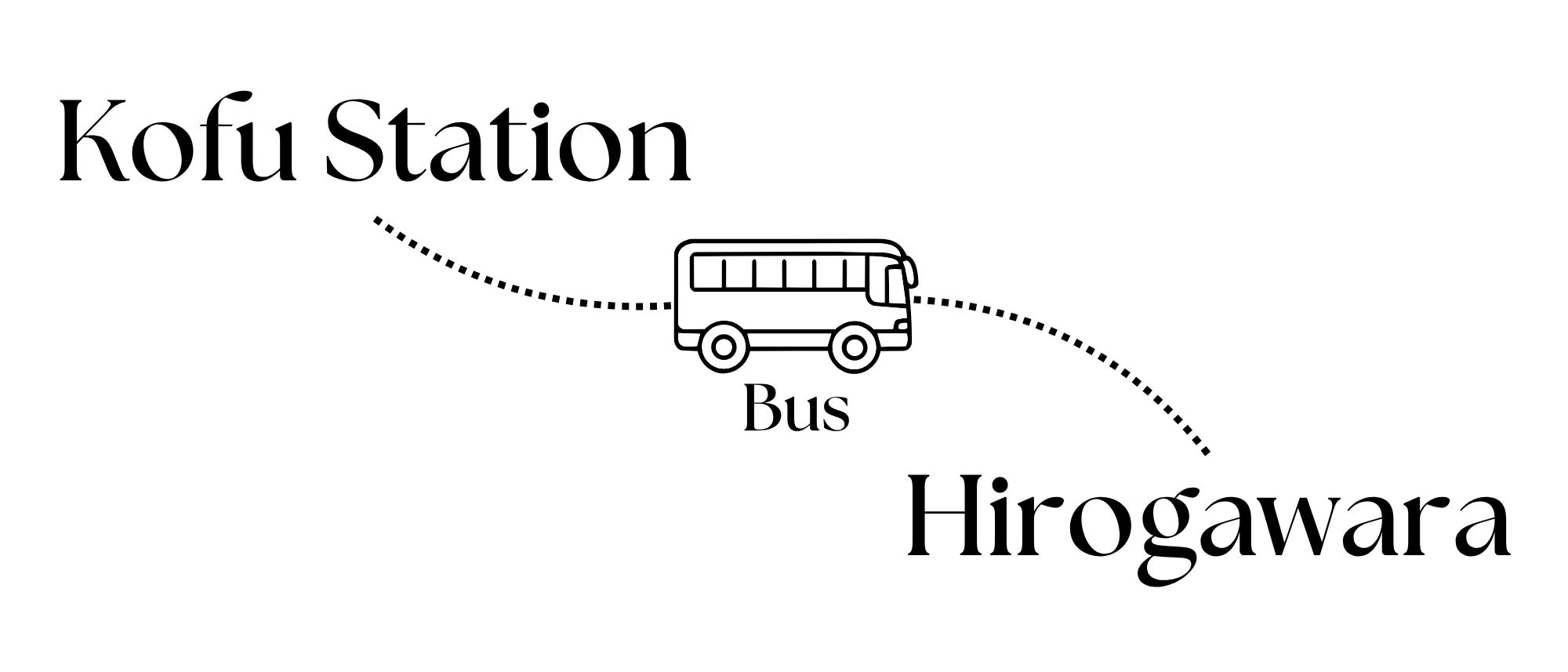
Check the bus timetable here. It runs from the last week of June to the first week of November.
Fare: 2,400 yen one way + 300 yen (Cooperation Fee for Vehicle Restriction). IC Cards can be used for the bus fare, but the additional 300 yen is only paid in cash.
THE ROUTE:
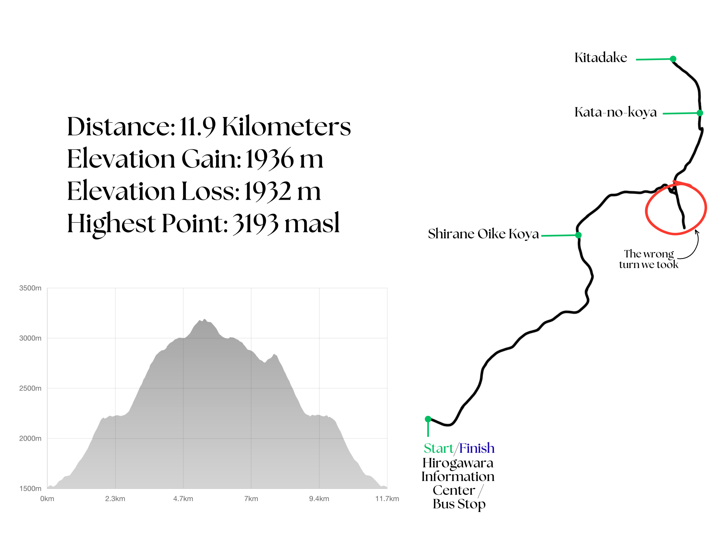
Total time on the trail: 20 hours and 7 minutes (includes total breaktime of 5 hours)
Hike Log Summary:
FRIDAY
5:25 PM - Arrived at Kofu Station and stayed the night at a hotel nearby.
SATURDAY
3:30 AM - Started lining up for the bus.
4:35 AM - Bus departed for Hirogawara
6:30 AM - Arrived at Hirogawara Bus Stop/Information Center
7:10 AM - Started hiking
3:26 PM - Arrived at Kata-no-koya, pitched tent, had dinner, slept.
SUNDAY
3:35 AM - Started hiking to catch the sunrise at the summit
4:33 AM - Reached the summit of Kitadake
5:57 AM - Back to Kata-no-koya, had breakfast, packed up.
8:30 AM - Started hiking down
9:30 AM - Took the wrong turn
10:15 AM - Got back to the trail.
3:24 PM - Back at the trailhead.
4:35 PM - Took the bus back to Kofu Station.
MOUNTAIN HUTS:
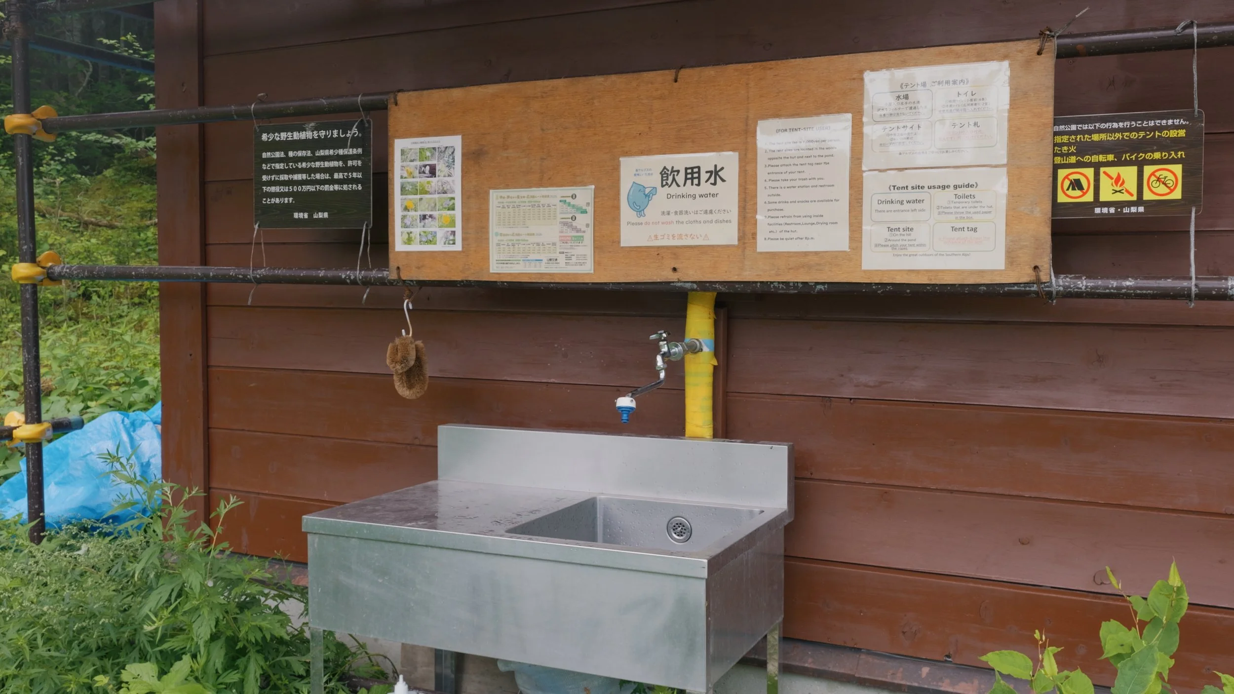
Hirogawara Sansou - right by the trailhead. Perfect for staying the night the day before your hike if you’re planning to day-hike Kitadake. Campsite available. Water available for free
Shirane-Oike Koya - I suggest staying here if you’re thinking of taking a later bus and summiting the day after. 3 hours from the trailhead. Campsite available. Water available for free.
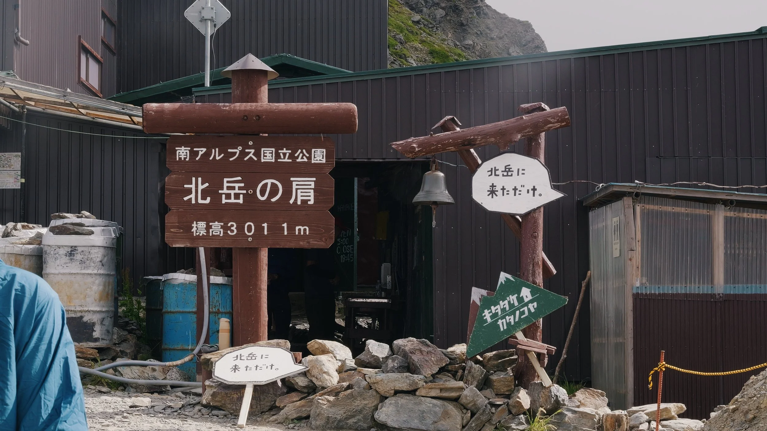
Kata-no-Koya - an hour before the summit. Stay here if you’re taking an early bus and planning to summit the day after. About 7 hours from the trailhead. Campsite available. Water available for 200 yen per 1 liter.
Kitadake Sansou - 30 minutes after the summit. Stay here if you want to summit Ainodake, a nearby peak, since it is closer, or if you have enough energy to push through past the peak. Campsite available. Water is available (I did not stop by here, so I do not know if the water is free, but from what I have read online, they say it is).
Reservations can be made here: https://www.minamialps-yoyaku.jp/Home
JAPAN’S 2ND HIGHEST MOUNTAIN
GETTING TO THE TRAILHEAD
From the information I have gathered online, it seems that the first bus to Hirogawara has a long queue, especially on weekends. This was why we decided to head to Kofu on Friday after work and just stay at a hotel close to the station so we could line up for the first bus early. At 3:30 AM on Saturday, we were maybe the 5th and 6th people to line up. By 4:00 AM, the line got way longer. There were 3 buses in service at that specific hour, so even if you were not the first in line, you could still get on. The only worry you have is probably standing for two hours (yes, the commute from Kofu Station to Hirogawara takes two hours by bus). The bus left at 4:35 AM.
DAY 1 (SATURDAY)
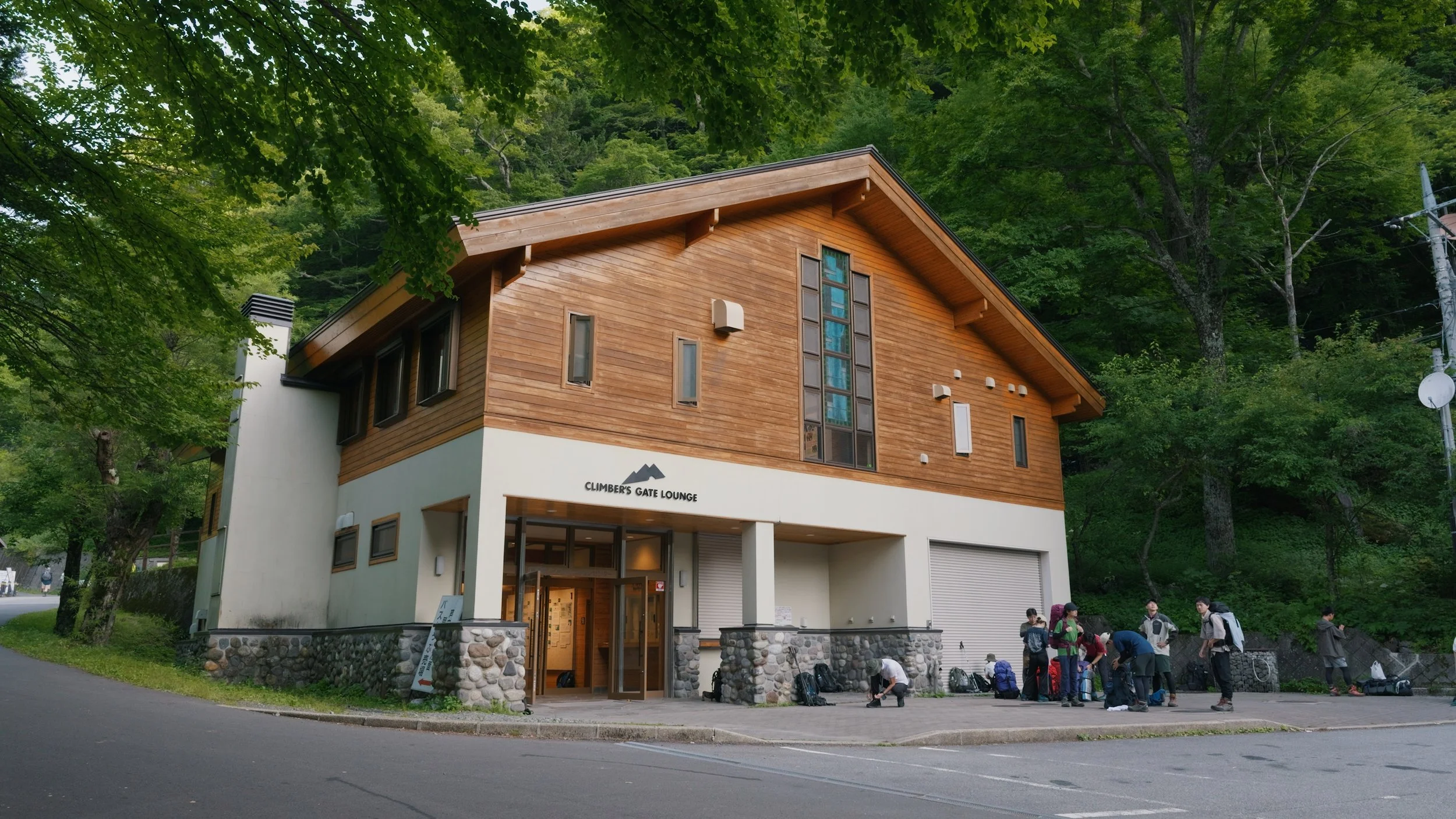
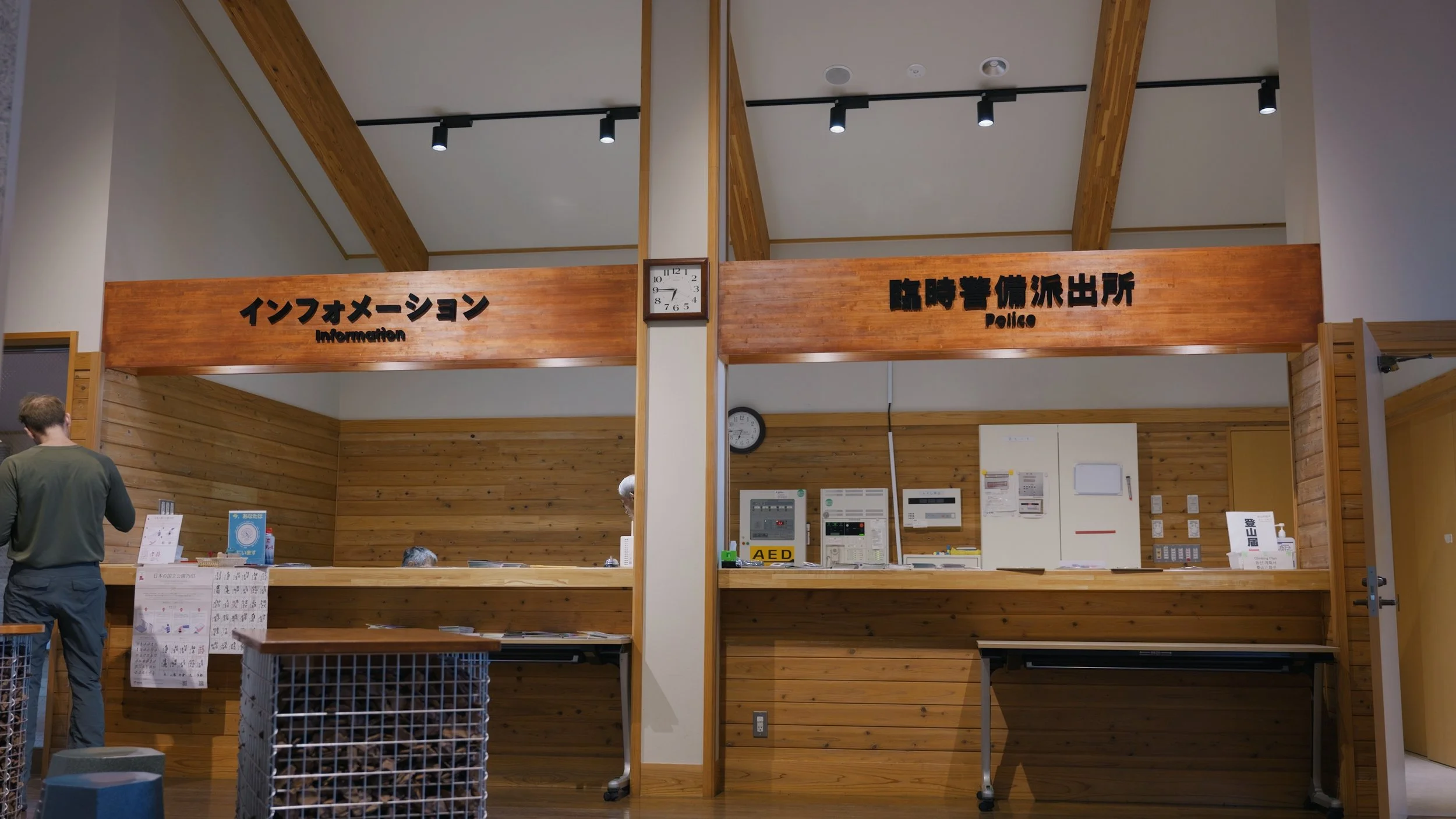
We arrived at around 6:30 AM at Hirogawara Information Center/Climber’s Lodge. This was where we submitted our hiking itinerary, got the stamp for the National Park Stamp Rally, and used the toilet before heading to the trail. You may also fill up your water containers here and leave anything you do not need for your hike in the coin lockers. At 7:10 AM, we started hiking.
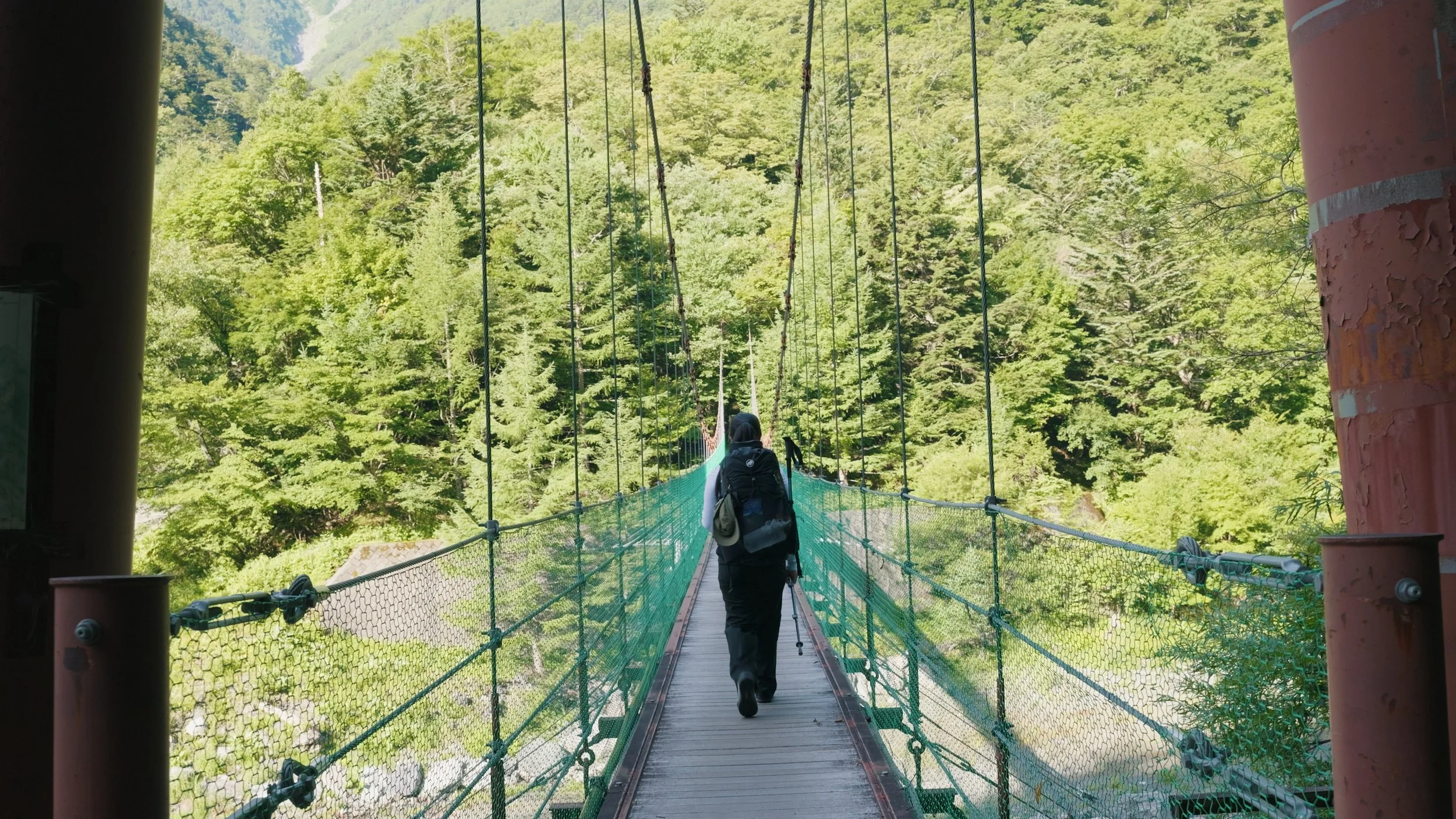
The first few kilometers of this hike will be in a forested area. It is also IMMEDIATELY STEEP. It’s just steep inclines after steep inclines until you get to the summit.
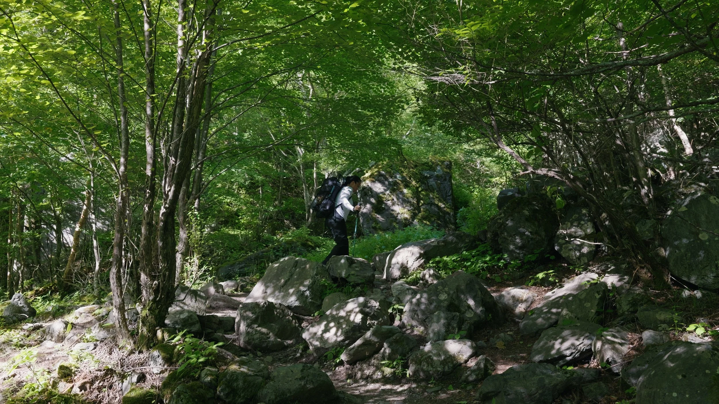
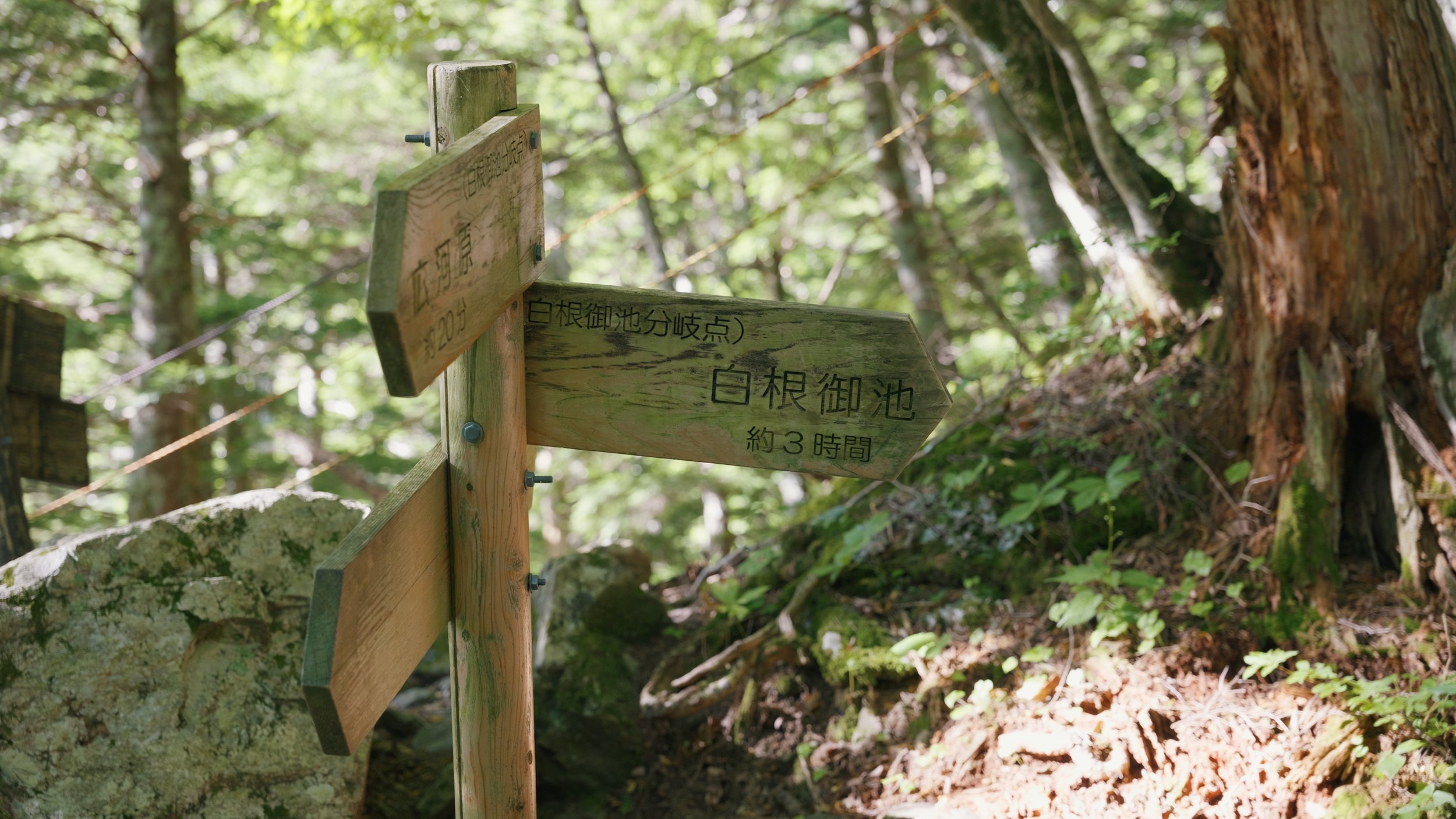
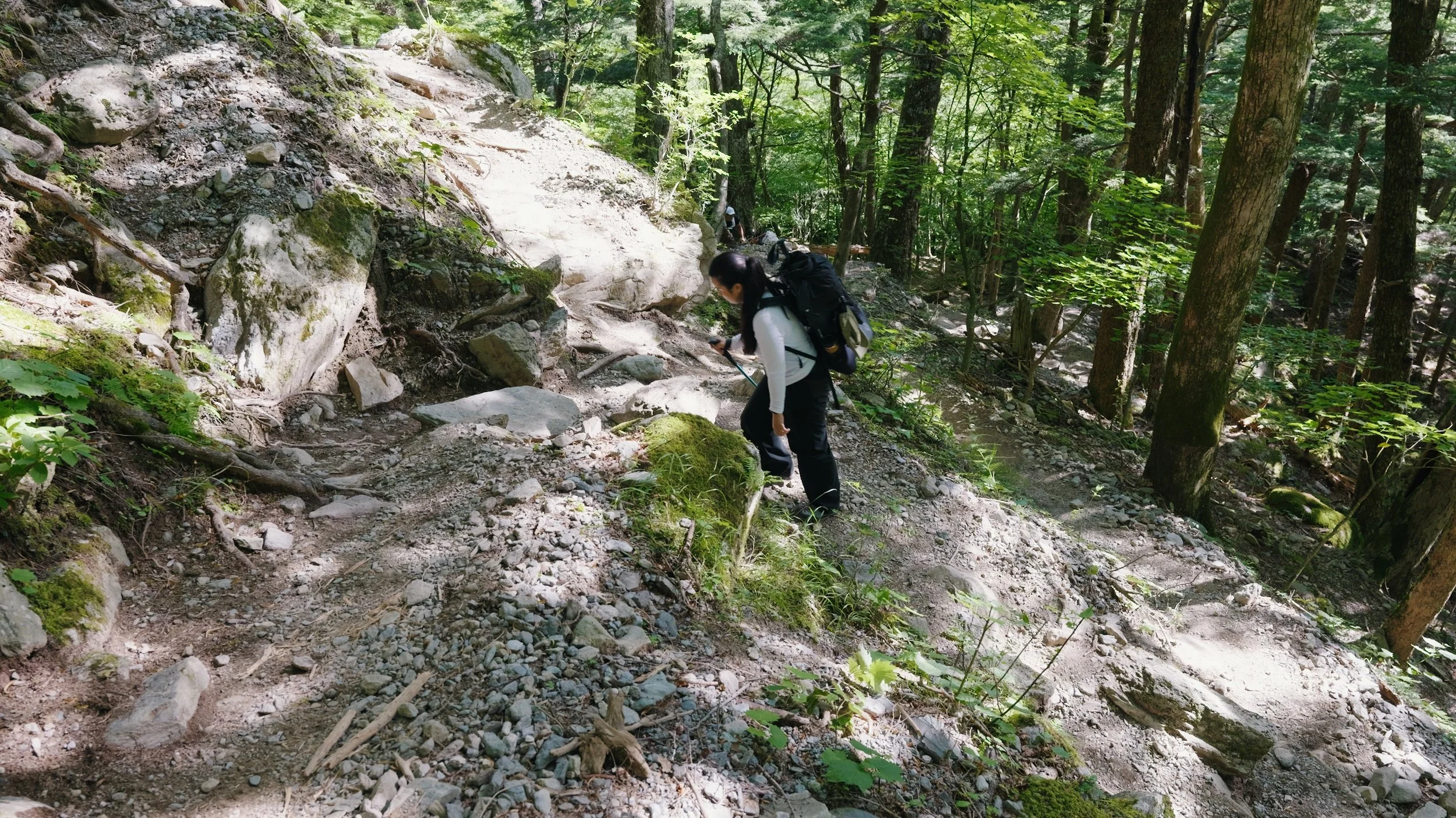
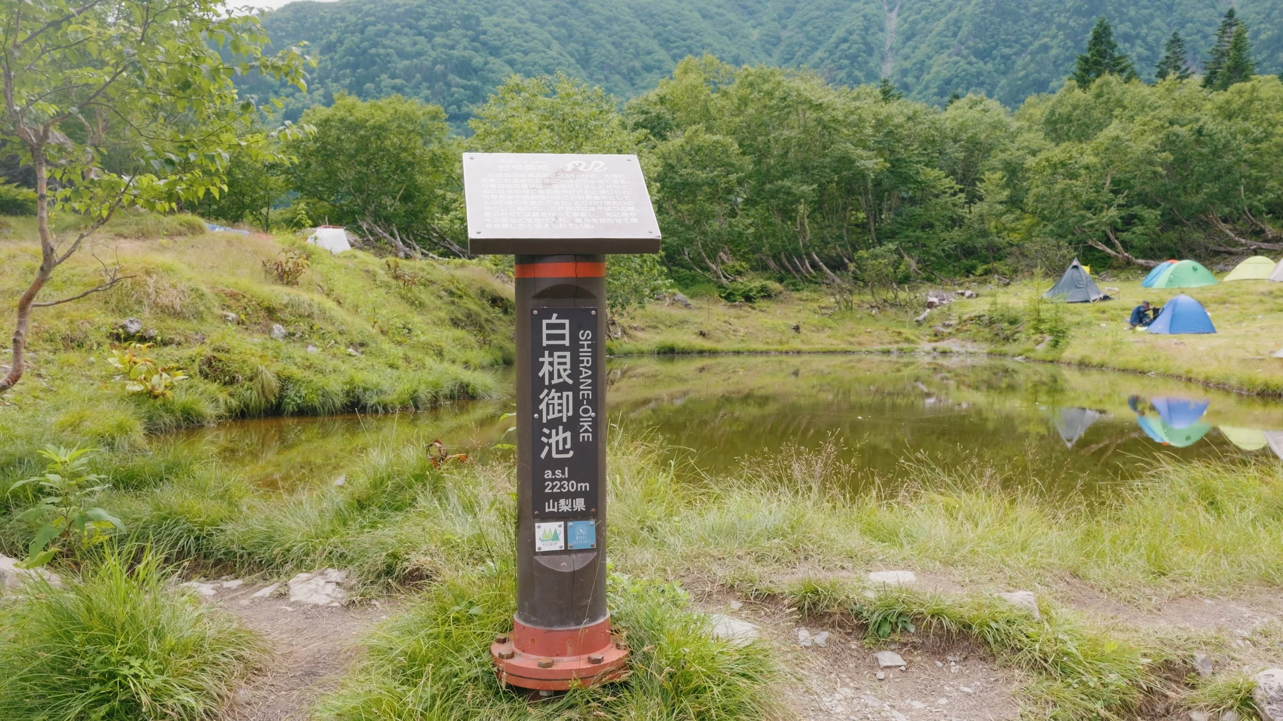
3 hours later, we arrived at Shirane Oike Koya and stopped for a bit to rest, have some food, and refill our water bottles. You may also camp here or stay the night in the hut. Just make sure to reserve in advance. From here, according to the sign, it’s 3 hours and 20 minutes to get to the next hut, Kata-no-koya, and 4 hours to the summit. With my speed, though, it took us 4 hours and 8 minutes to get to the next hut, and another hour to get to the summit 😅
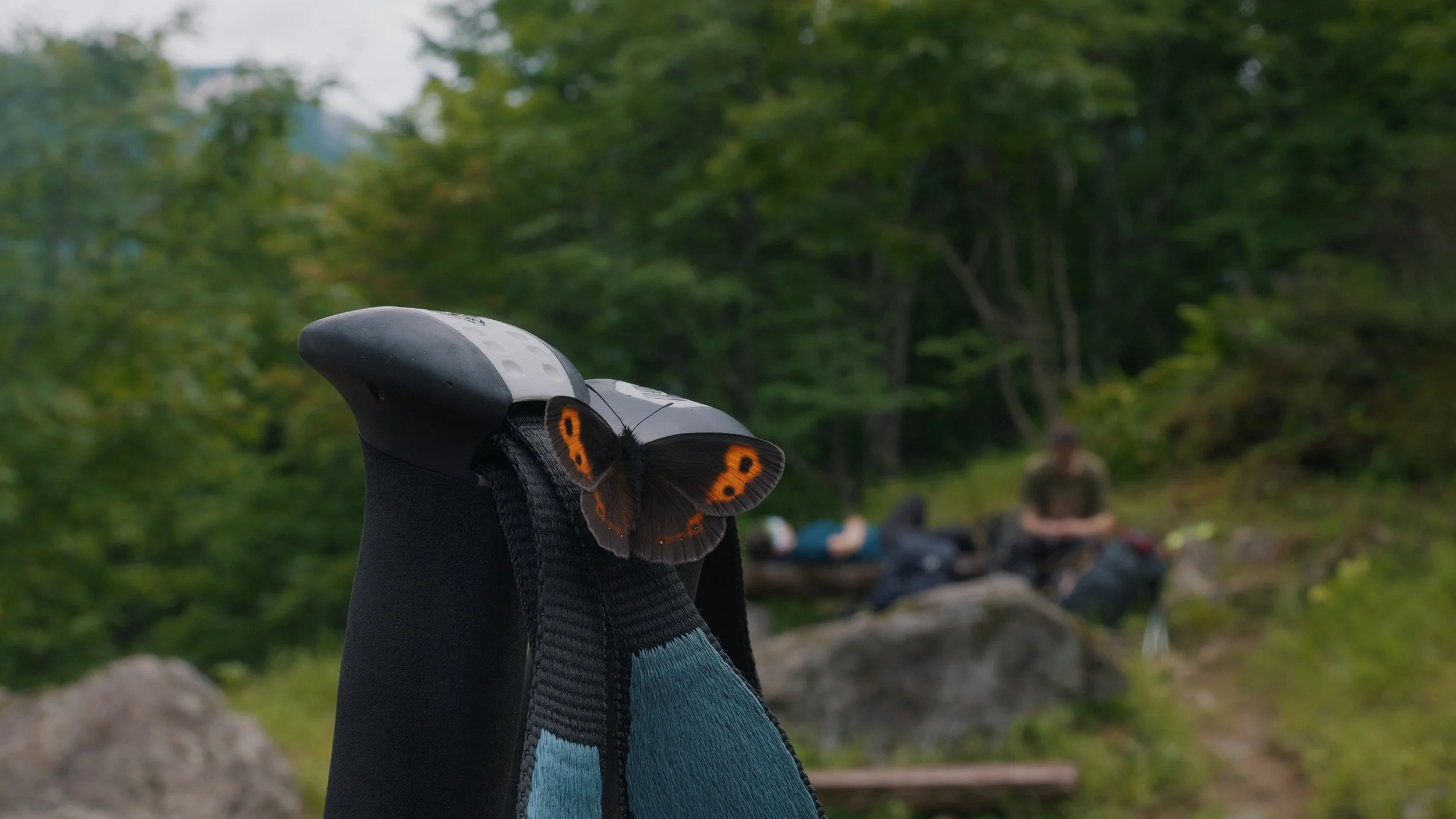
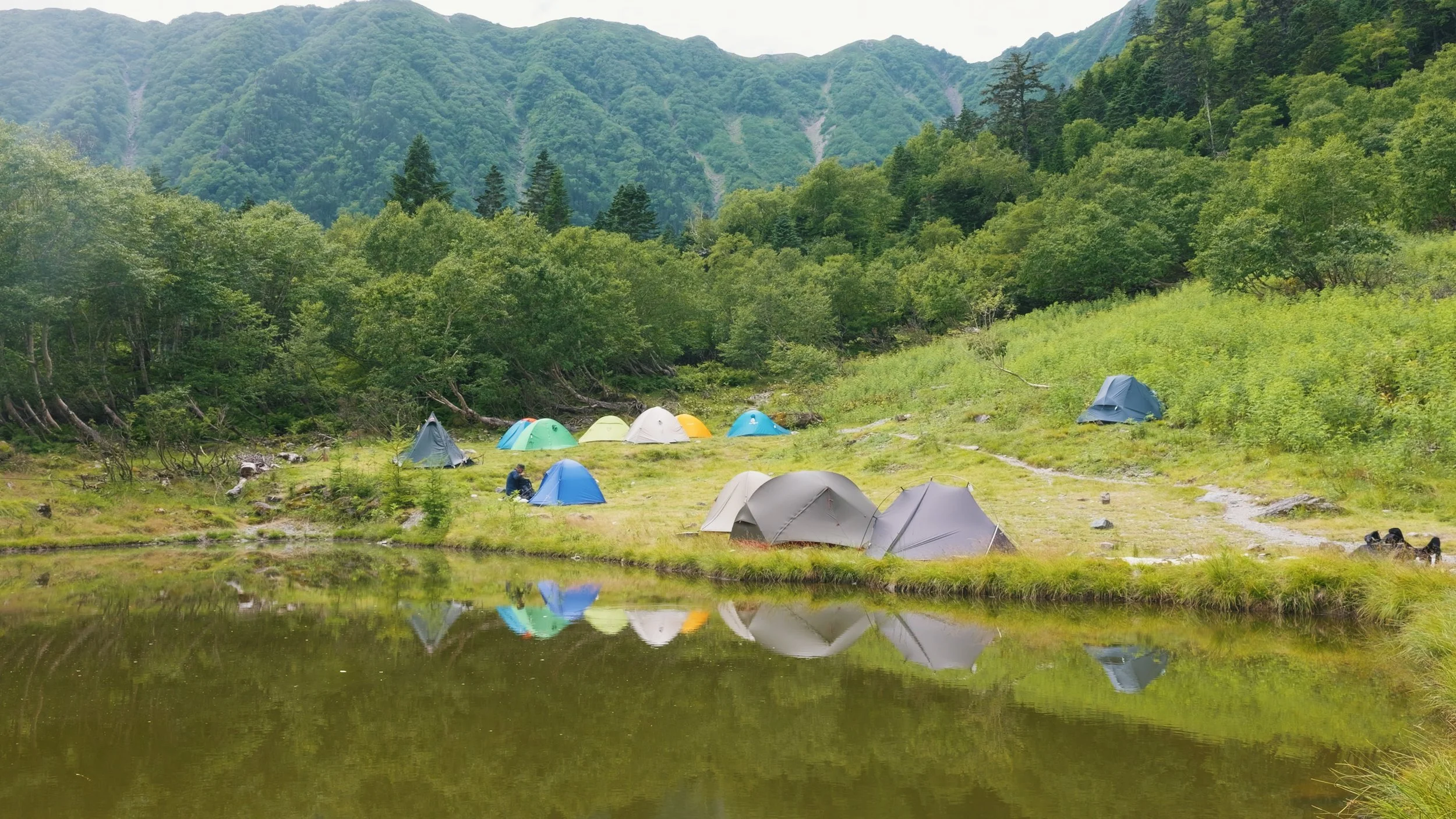
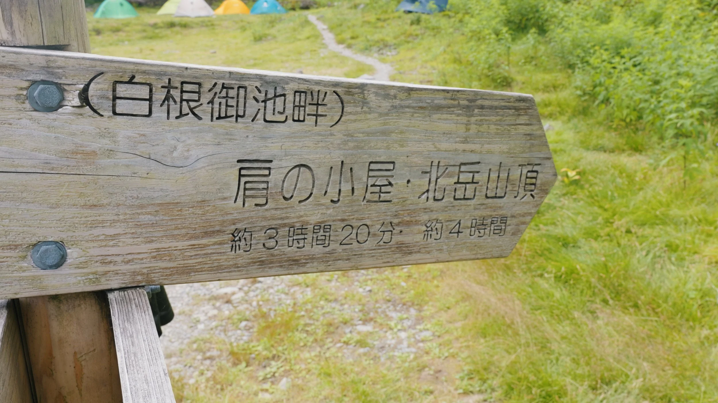
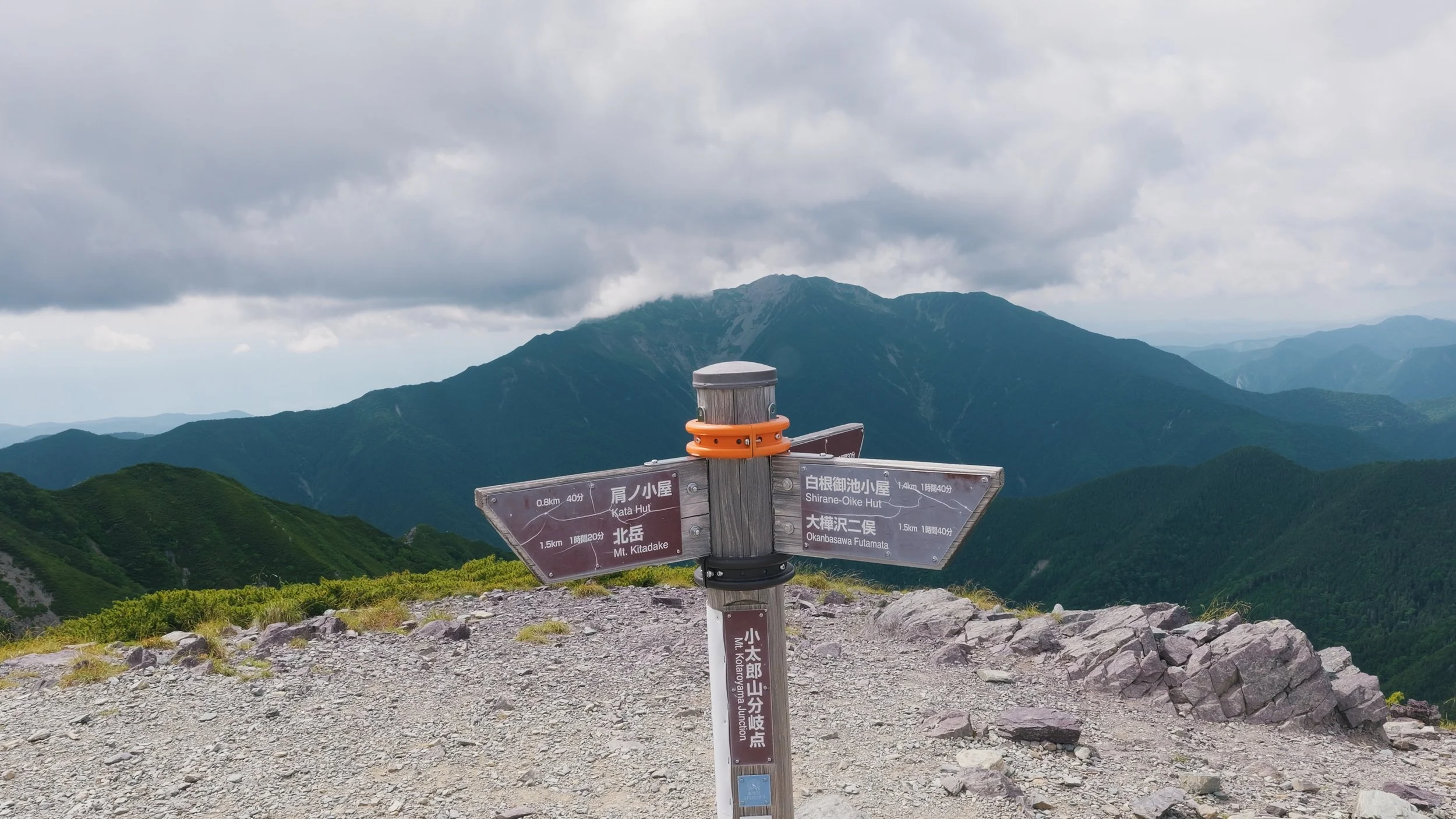
When you reach the Kotarayama Junction, you have also reached the ridgeline and will be greeted by unobstructed, stunning views of the nearby mountains.
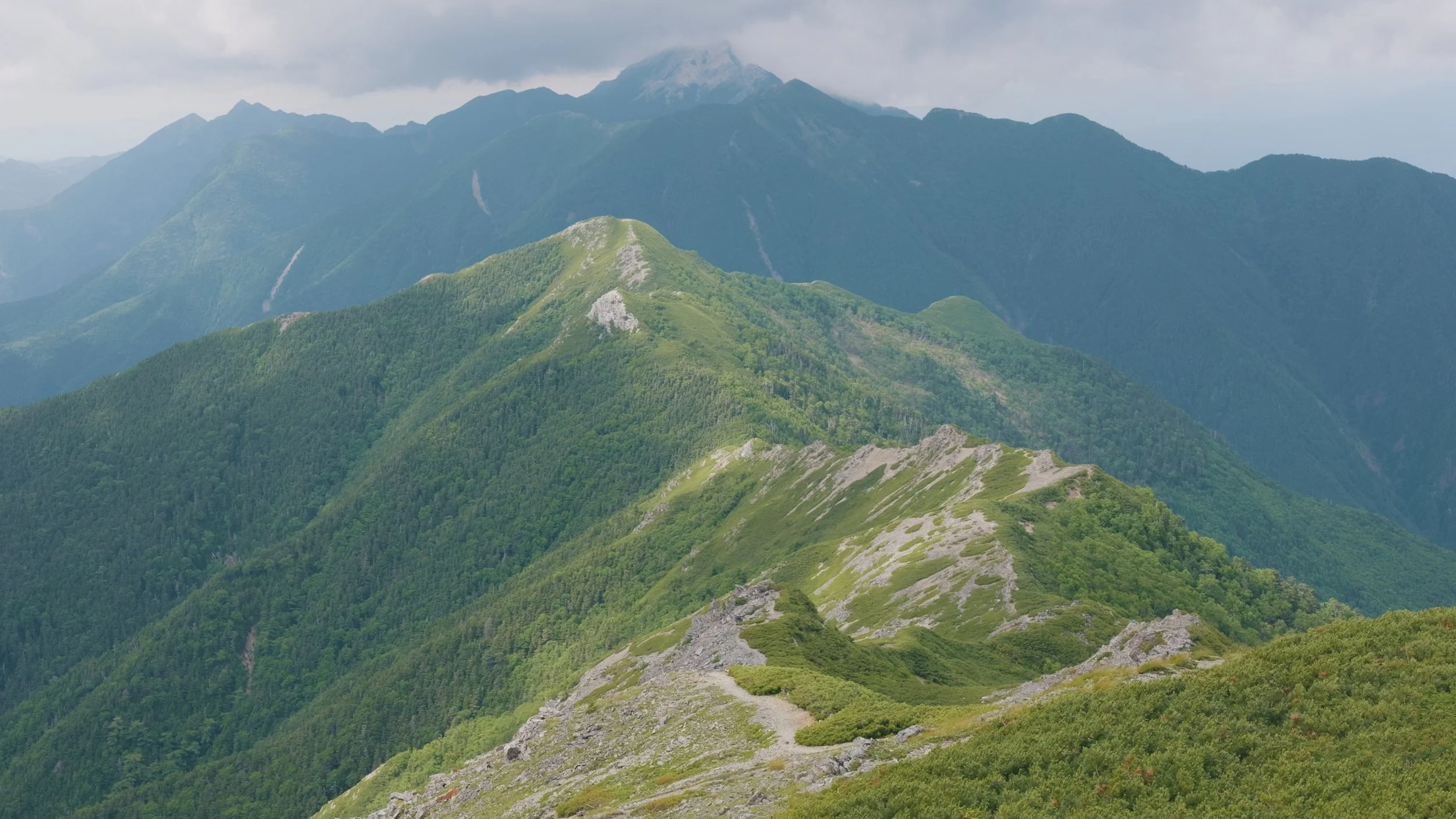

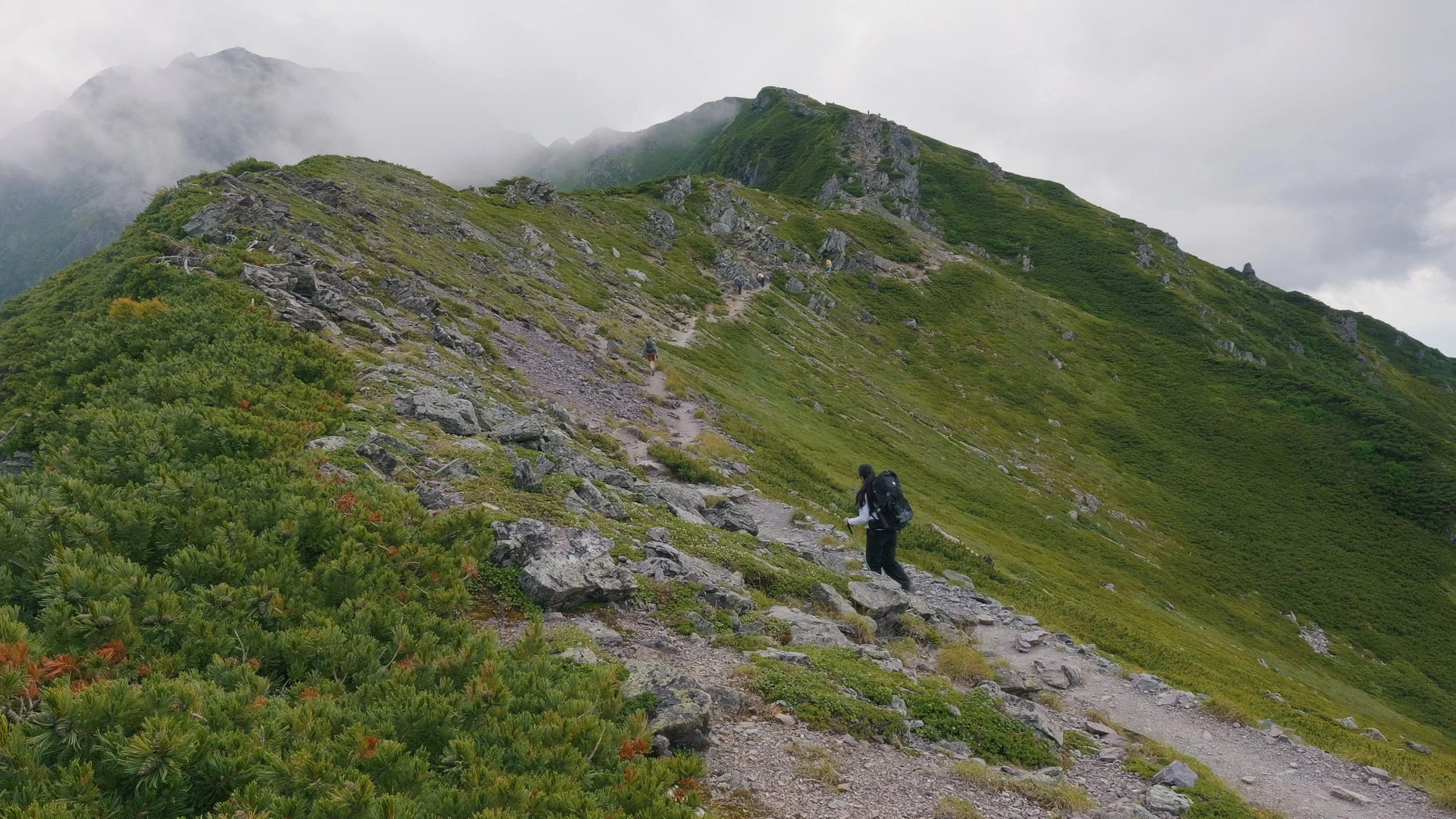
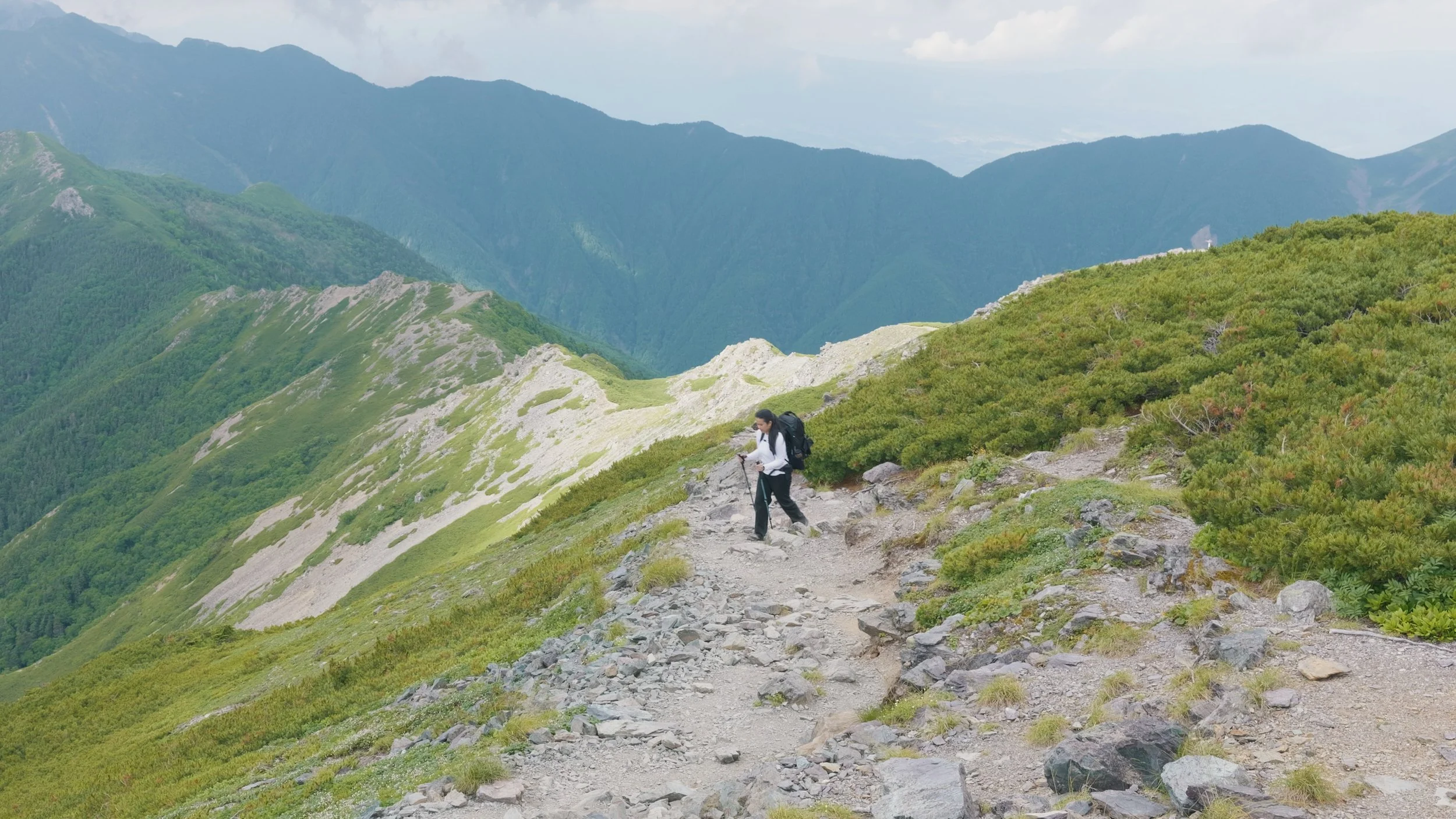
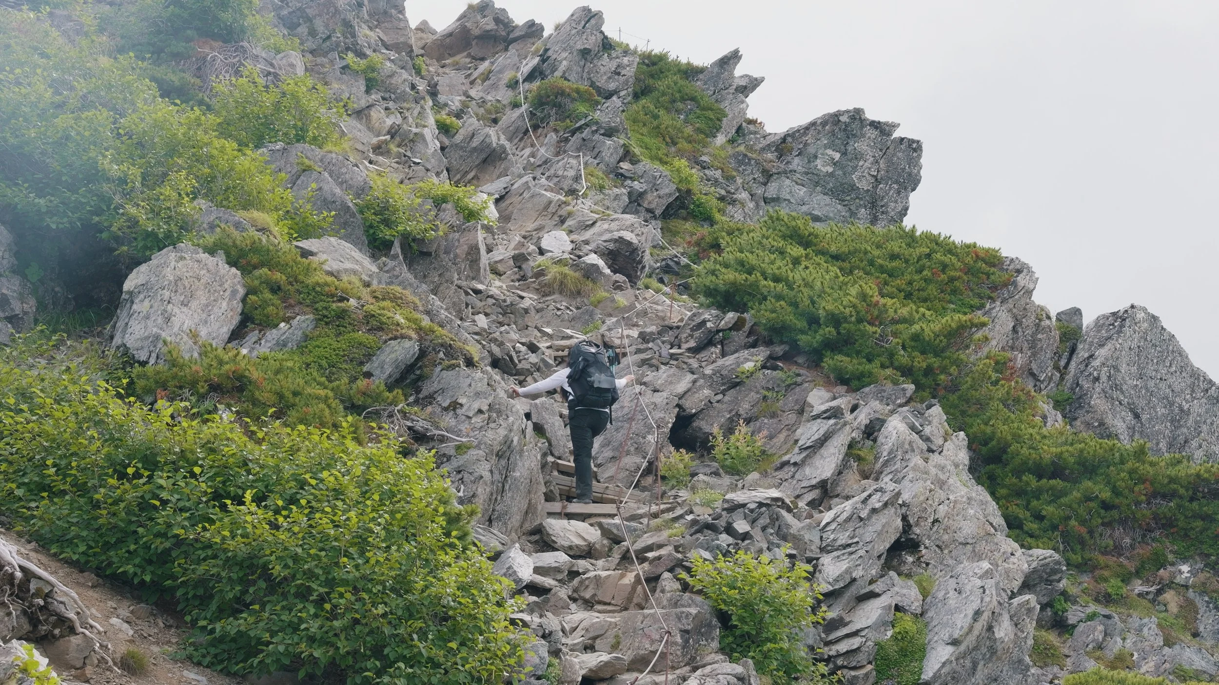
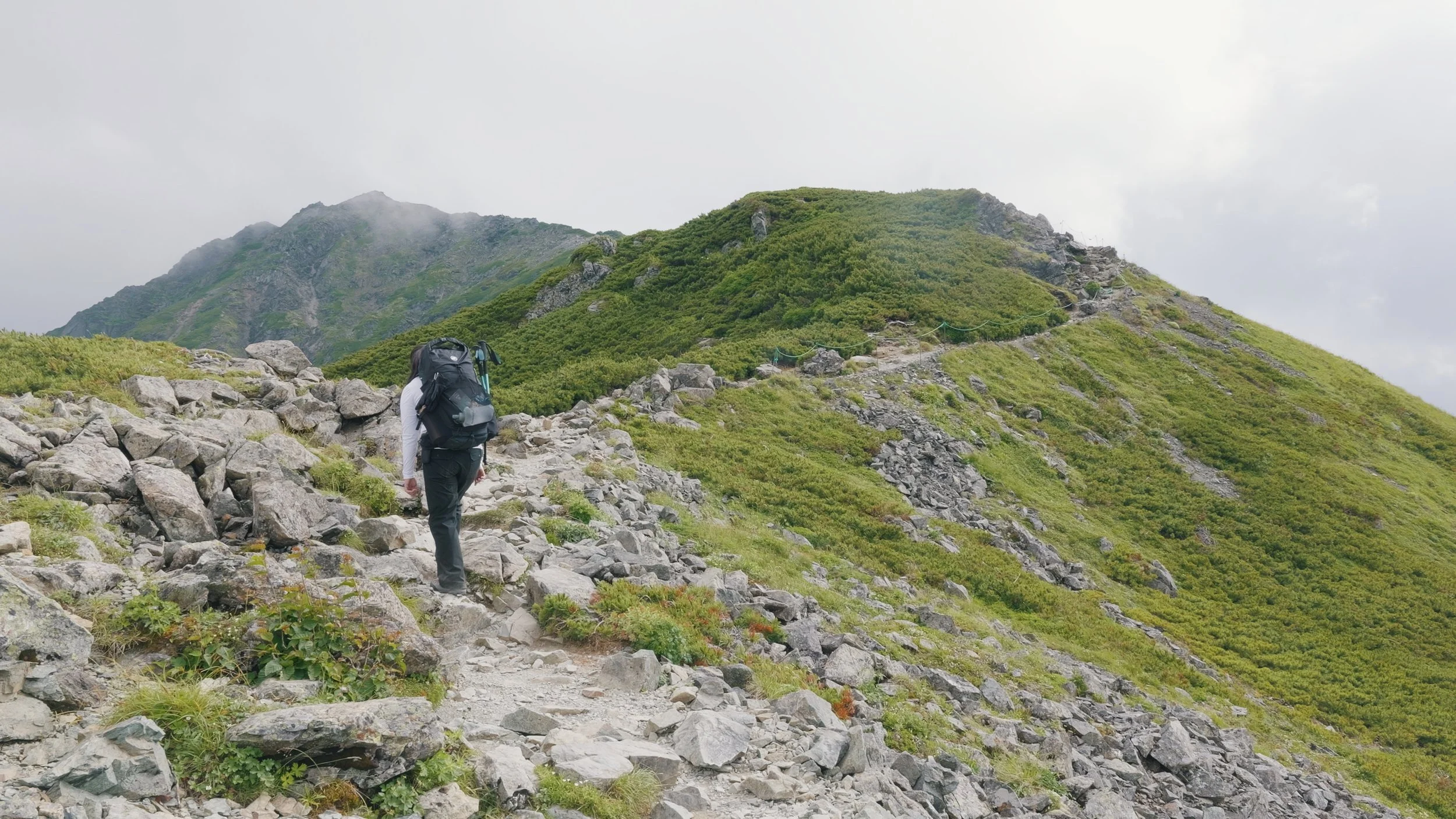
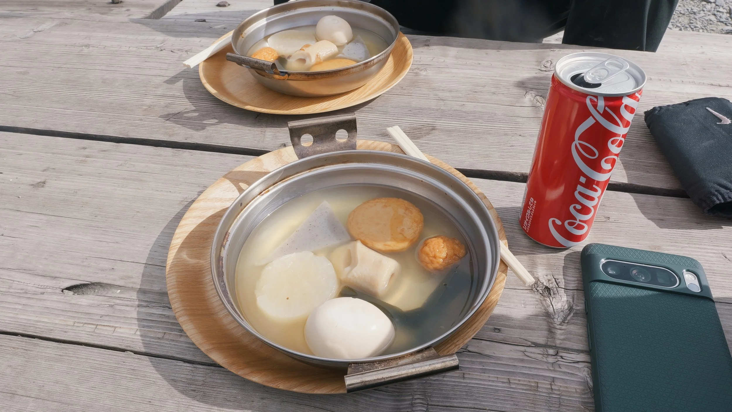
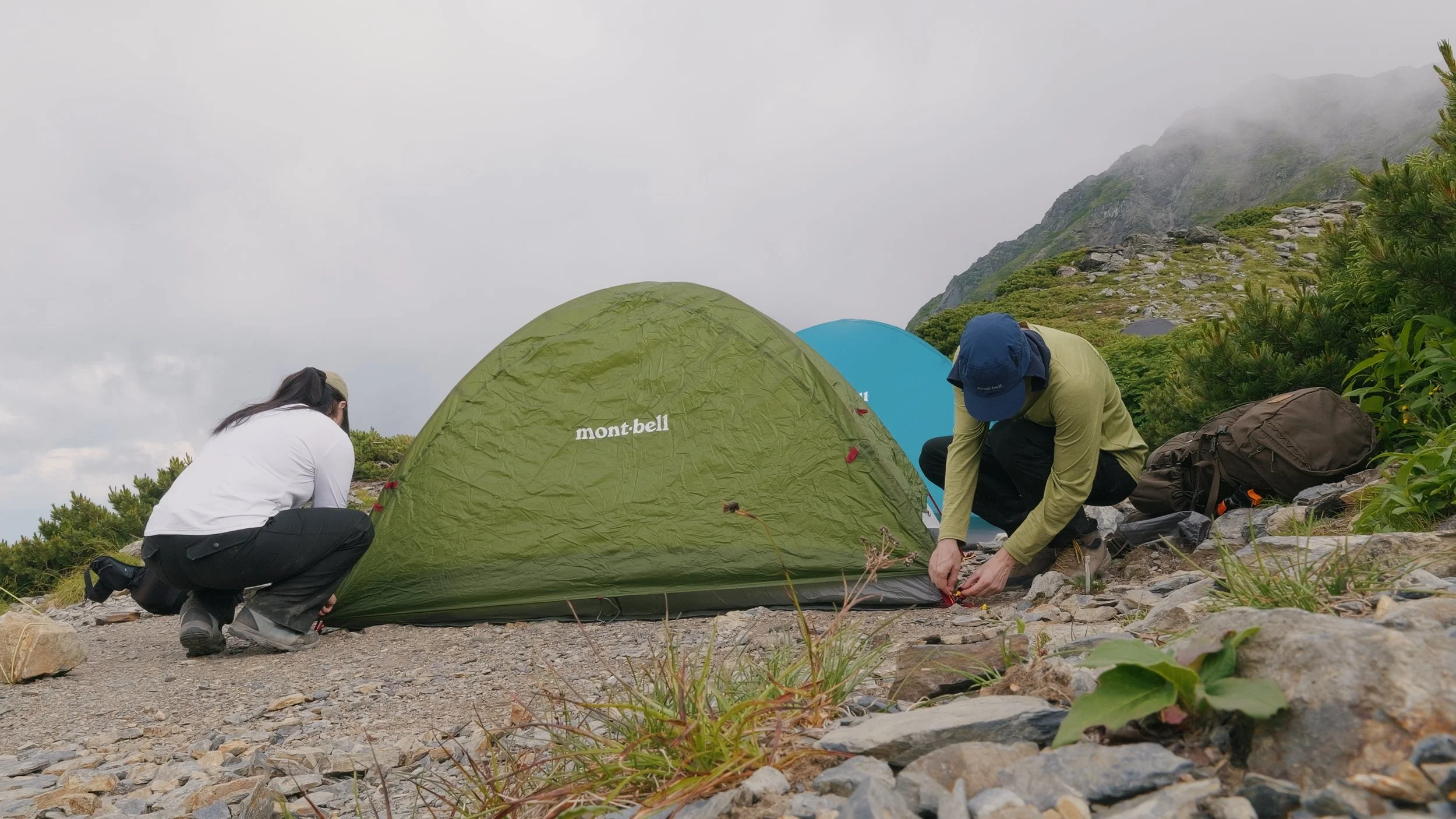
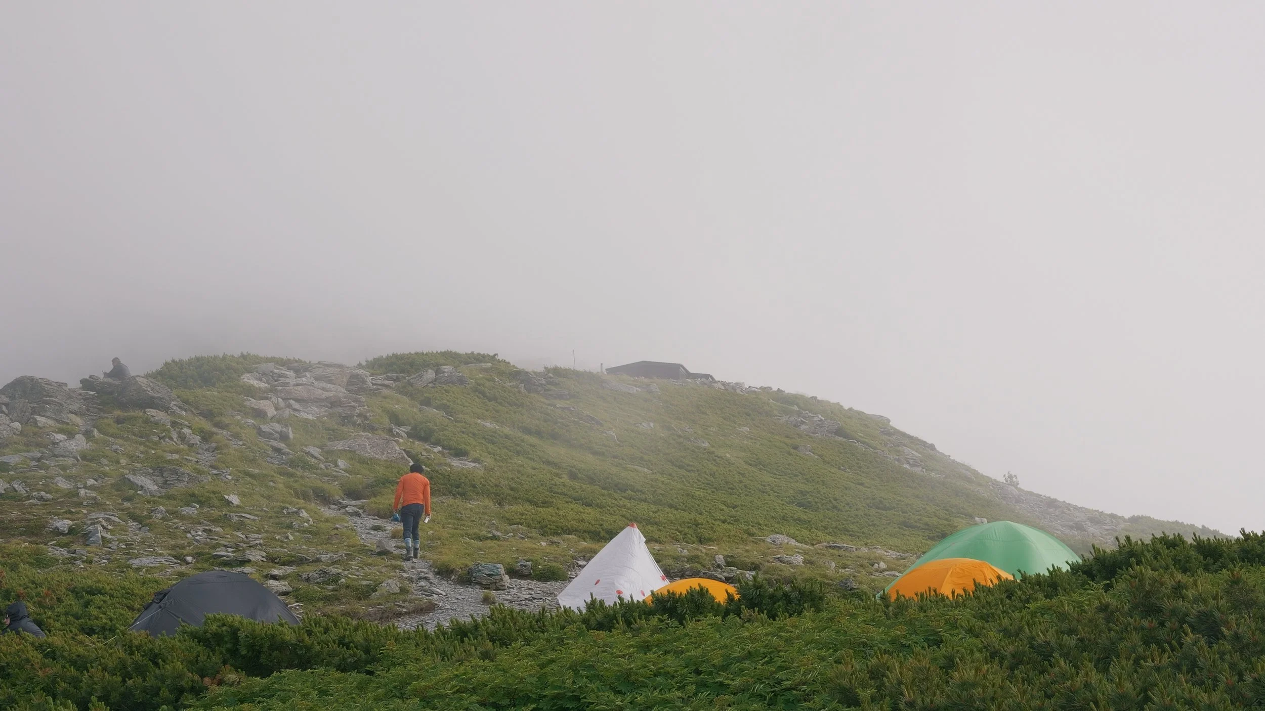
After 8 hours on the trail (with 1 and a half hours of rest time), we finally reached Kata-no-Koya. We first ate something before deciding that this was where we were gonna spend the night. Originally, we planned to stay at Kitadake Sansou, but seeing that it was already 3:30 PM and with my speed, it would still take us 2 hours more to get there, we decided to stop here for today. Thankfully, they had plenty of space for tents, so we had no problem, but I had to cancel my reservation with Kitadake Sansou (I am not sure if I got refunded, but at that point, I was too exhausted to care anymore. It was my fault we didn’t make it there anyway, and I cancelled the day of.) After pitching our tents, we called it a day and slept early for an early morning hike to the summit tomorrow.
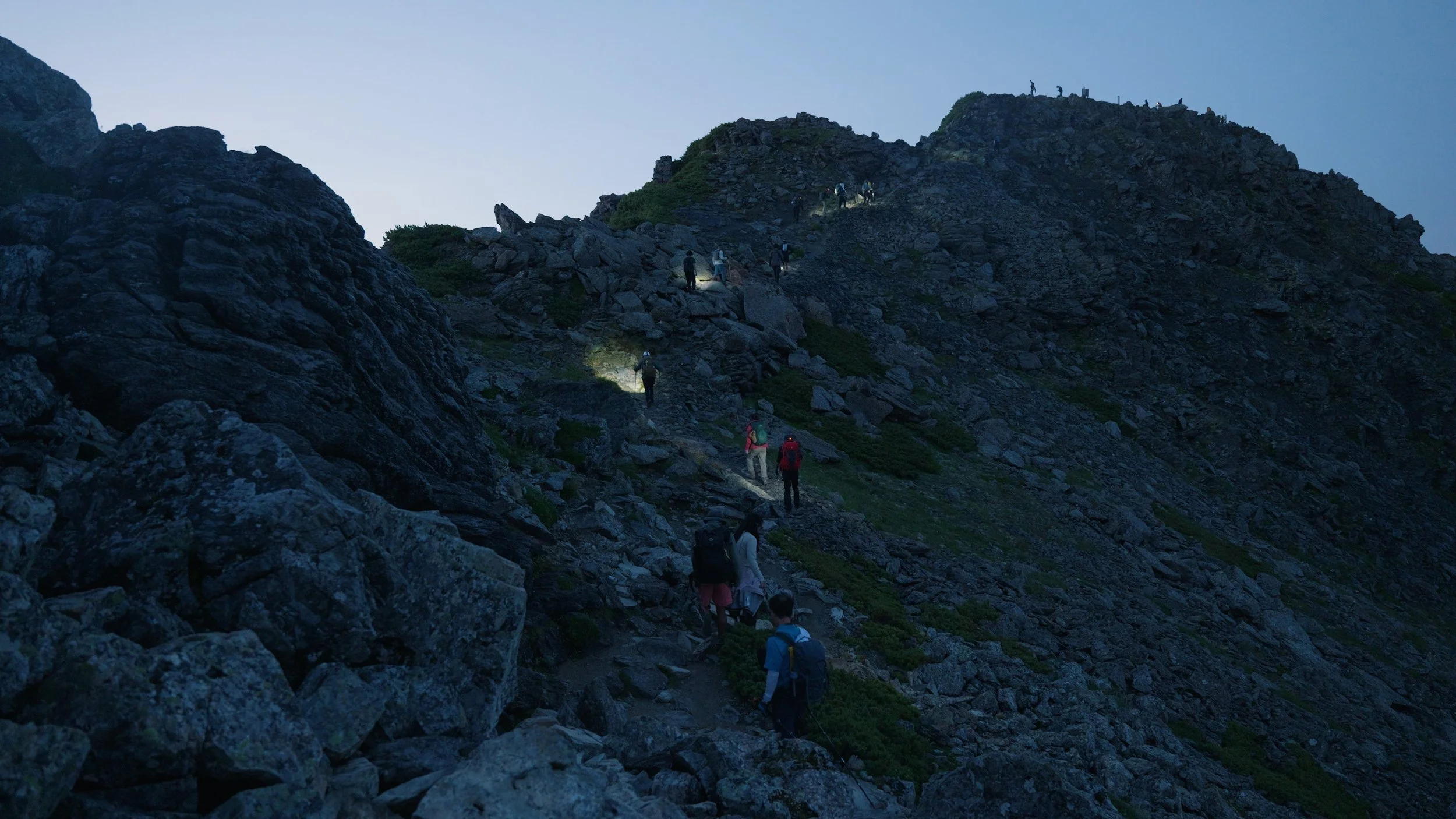
At 3:40 AM, we started our ascent to the summit of Mt. Kita. It was still dark, so if you want to do the same, bring headlamps with you. It was a bit chilly when we started hiking, but after awhile, it got hot as we started warming up from walking uphill.
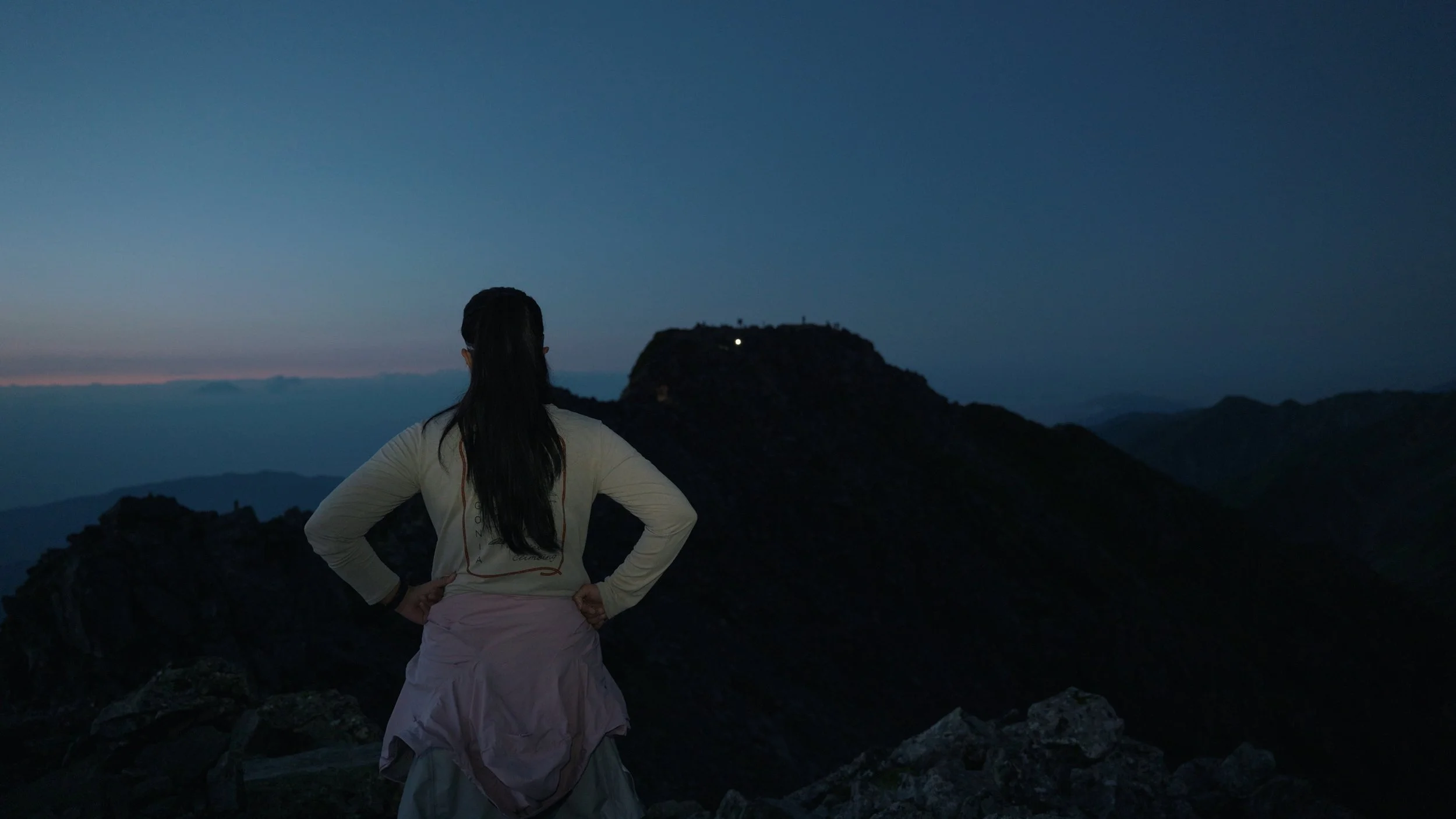
The point where I was standing on this photo was where we thought the summit was, and then we saw the actual summit. Some more walking to go.
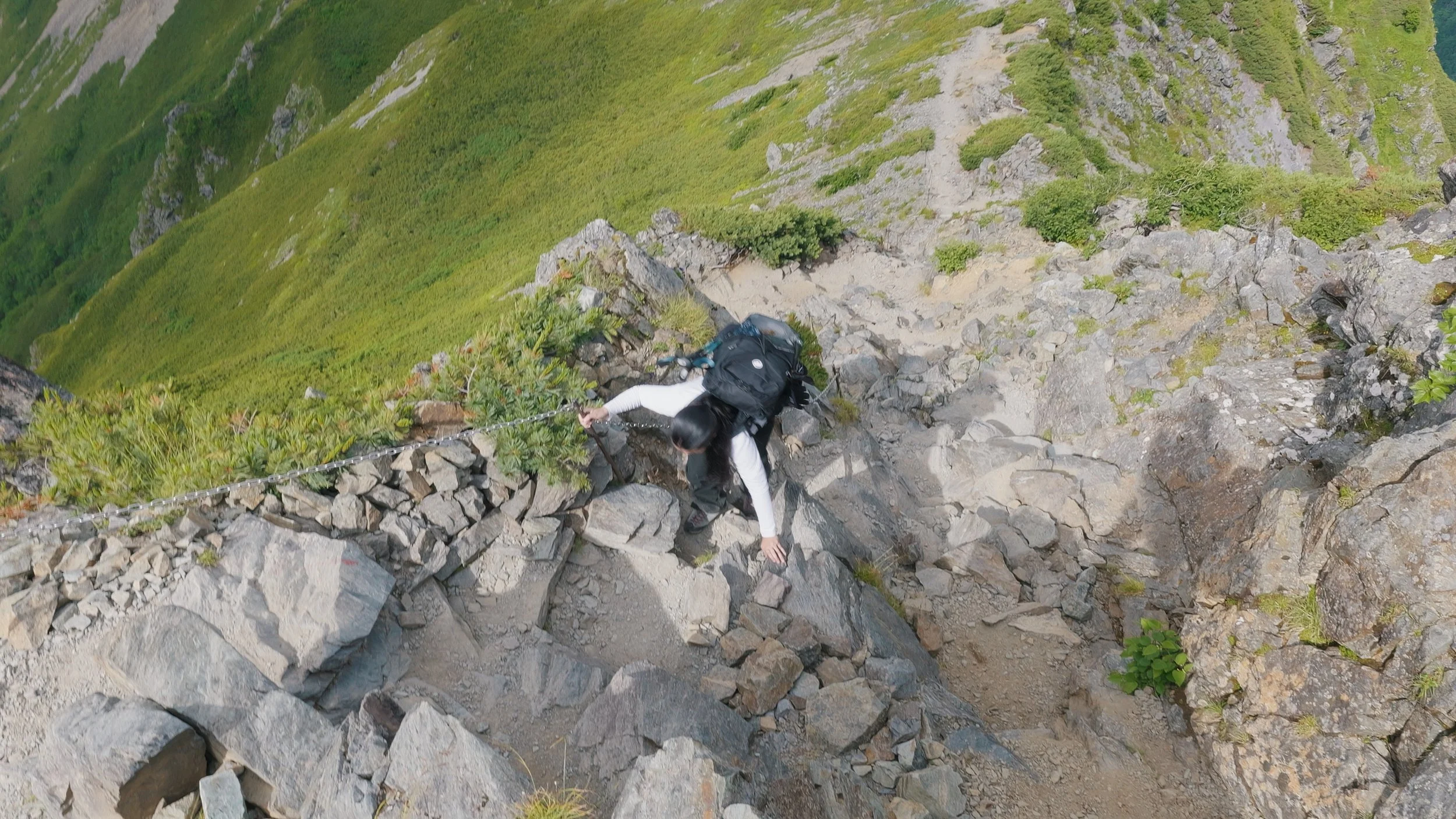
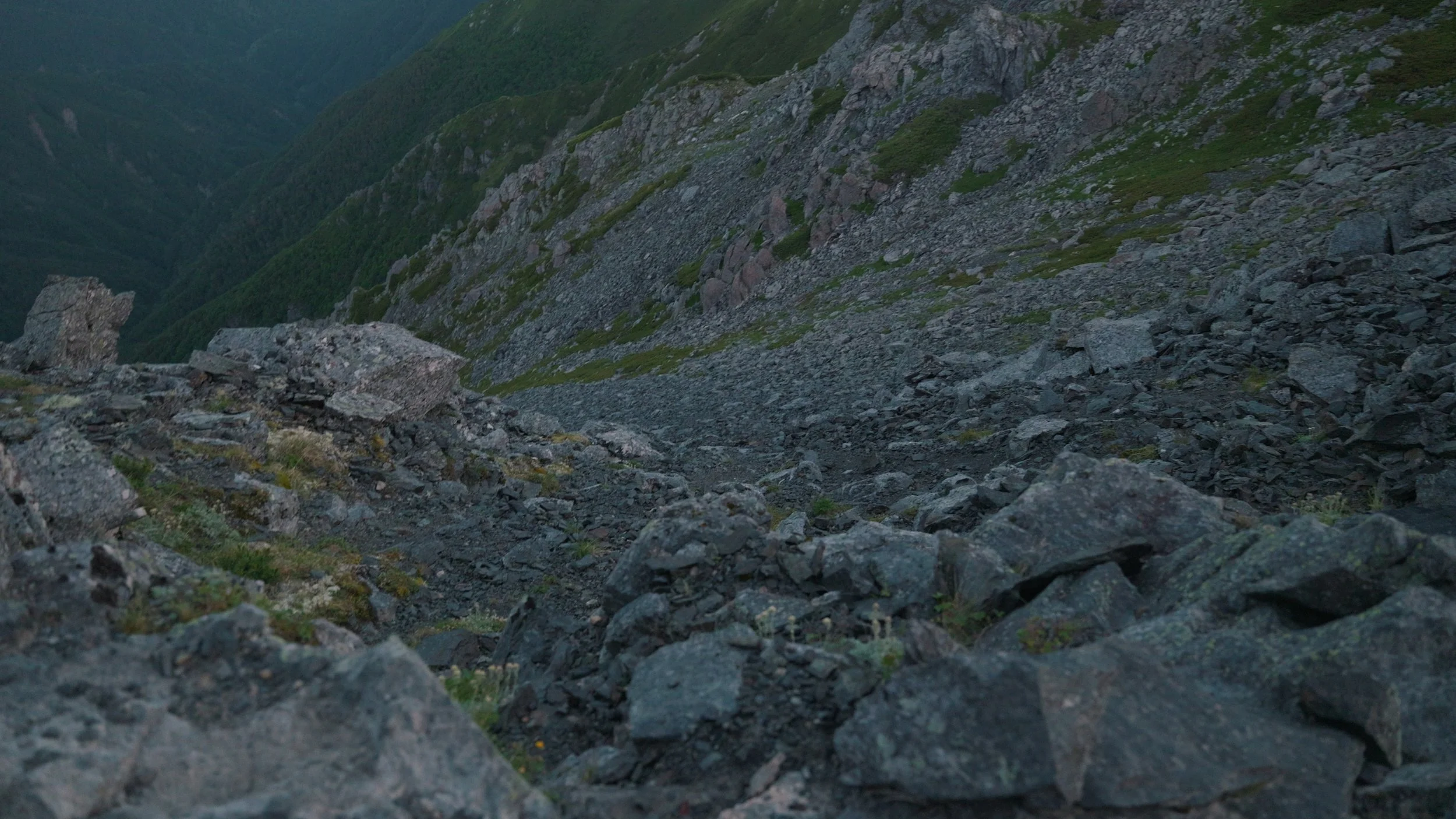
This section of the hike has some scary drops on the side, so be very careful with your footing.
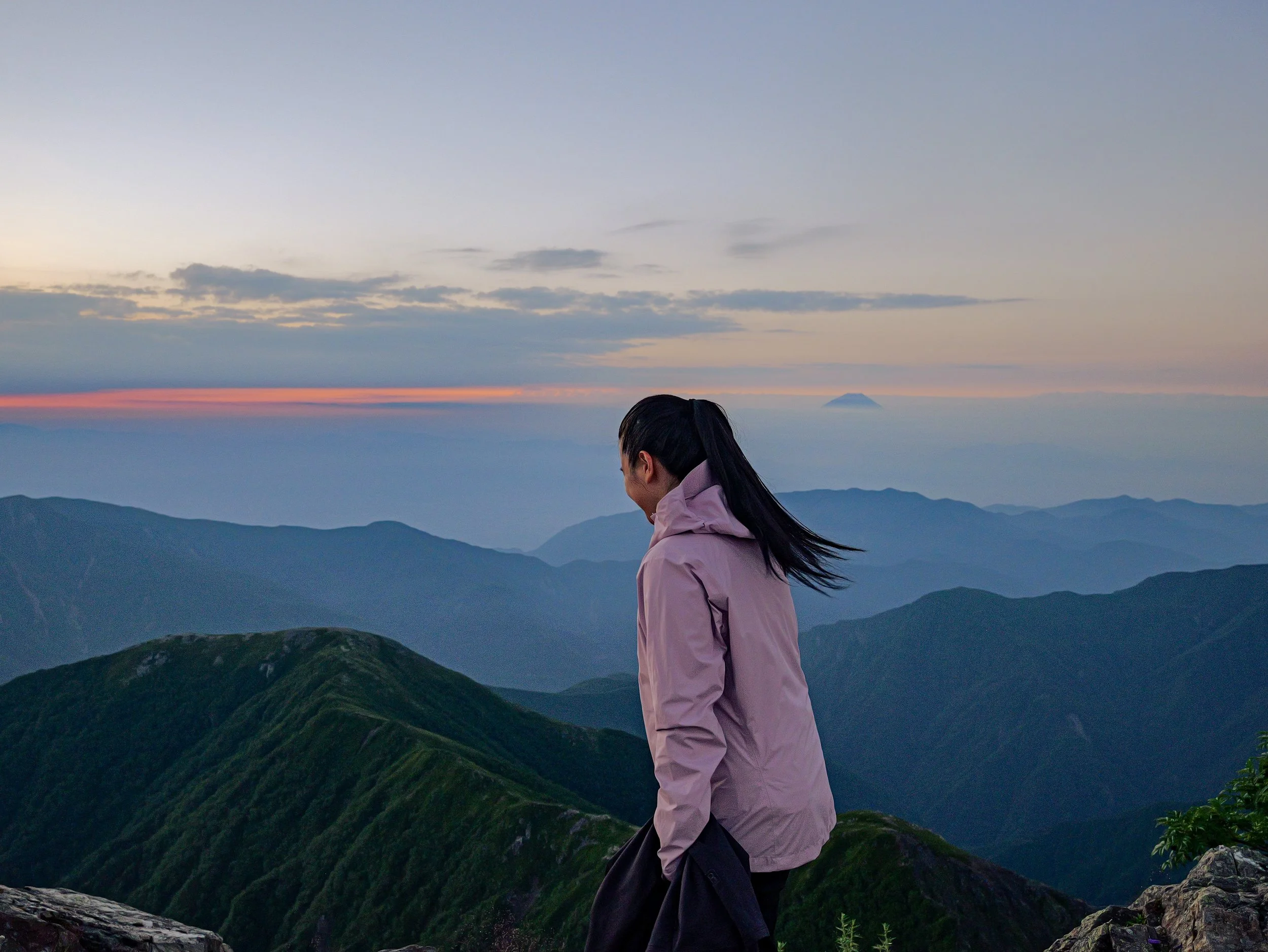
After about an hour, we finally reached the summit of Kitadake. We got here just before sunrise, so we looked for a spot to wait for it. And oh, Mt. Fuji was also there to greet us! The view from the summit was just breathtaking, and we were so glad to have such nice weather on both days.
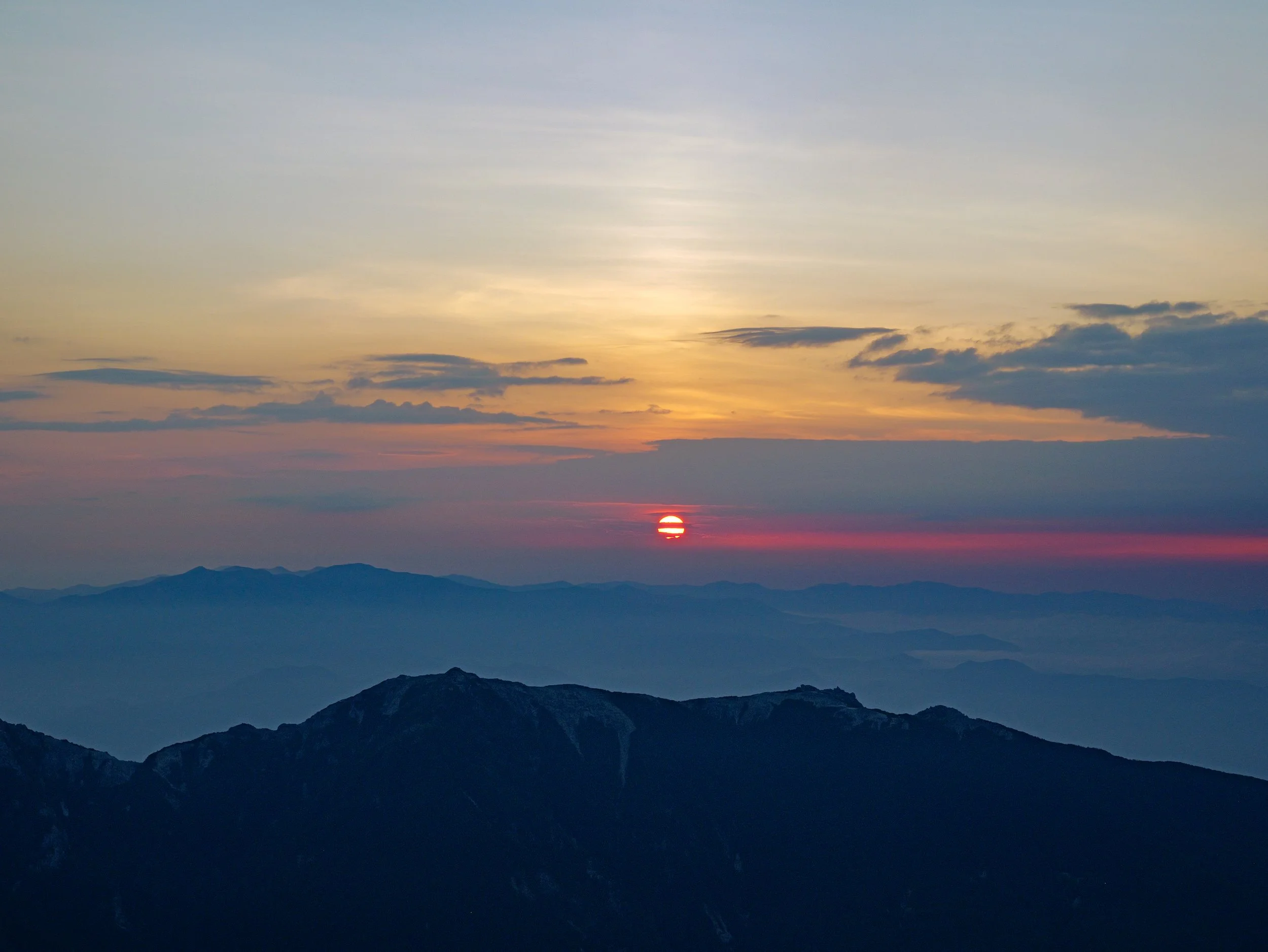
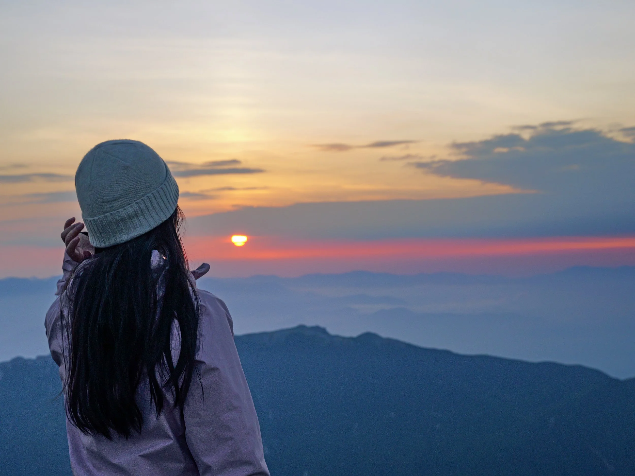
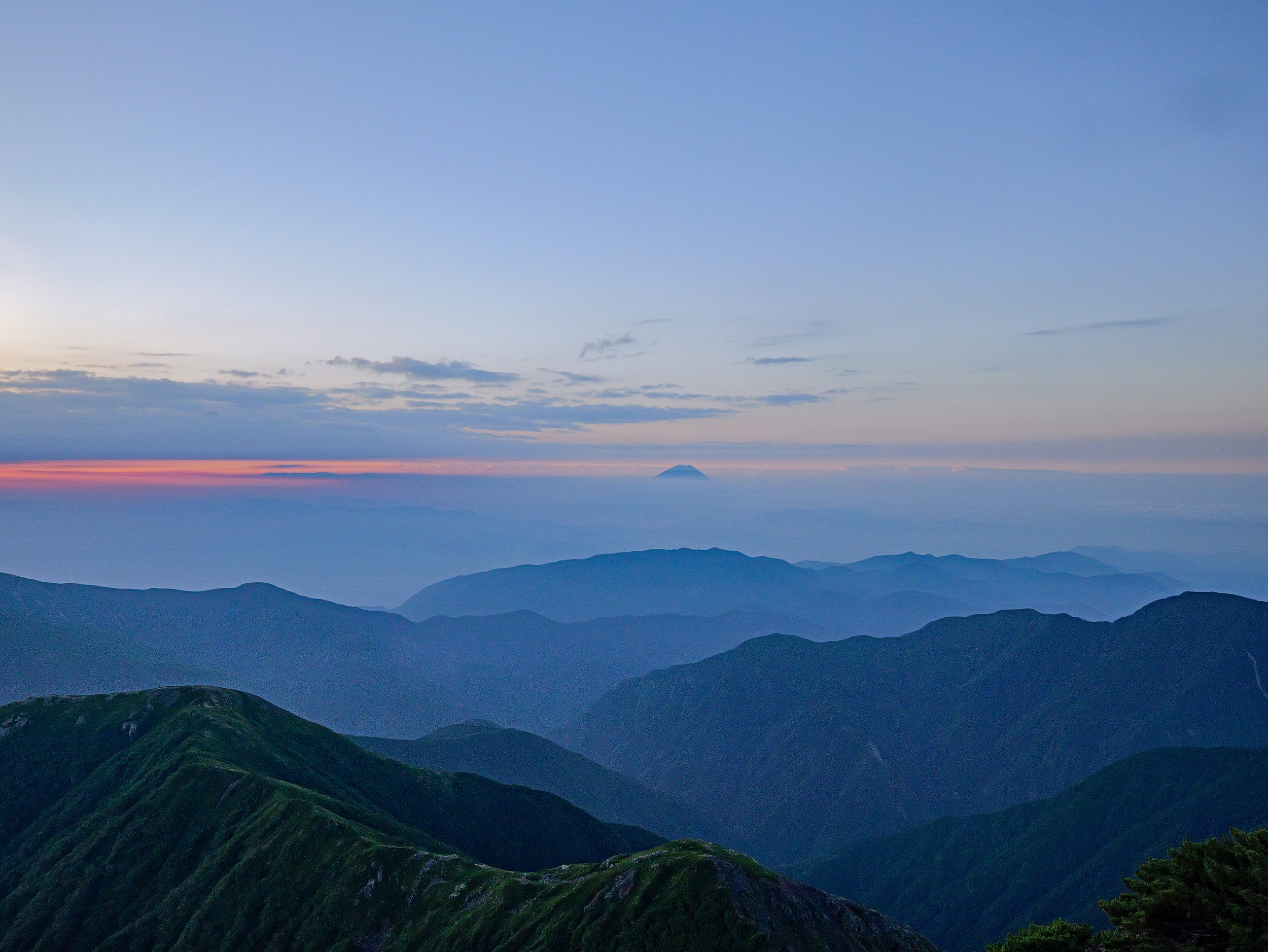
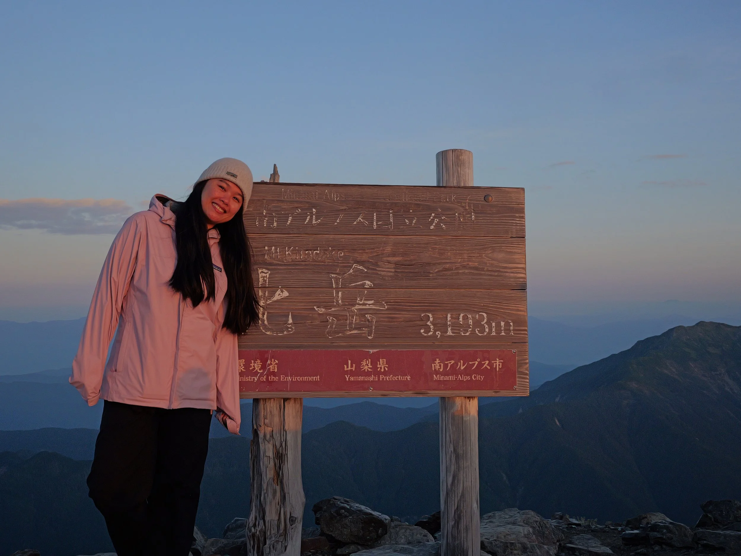
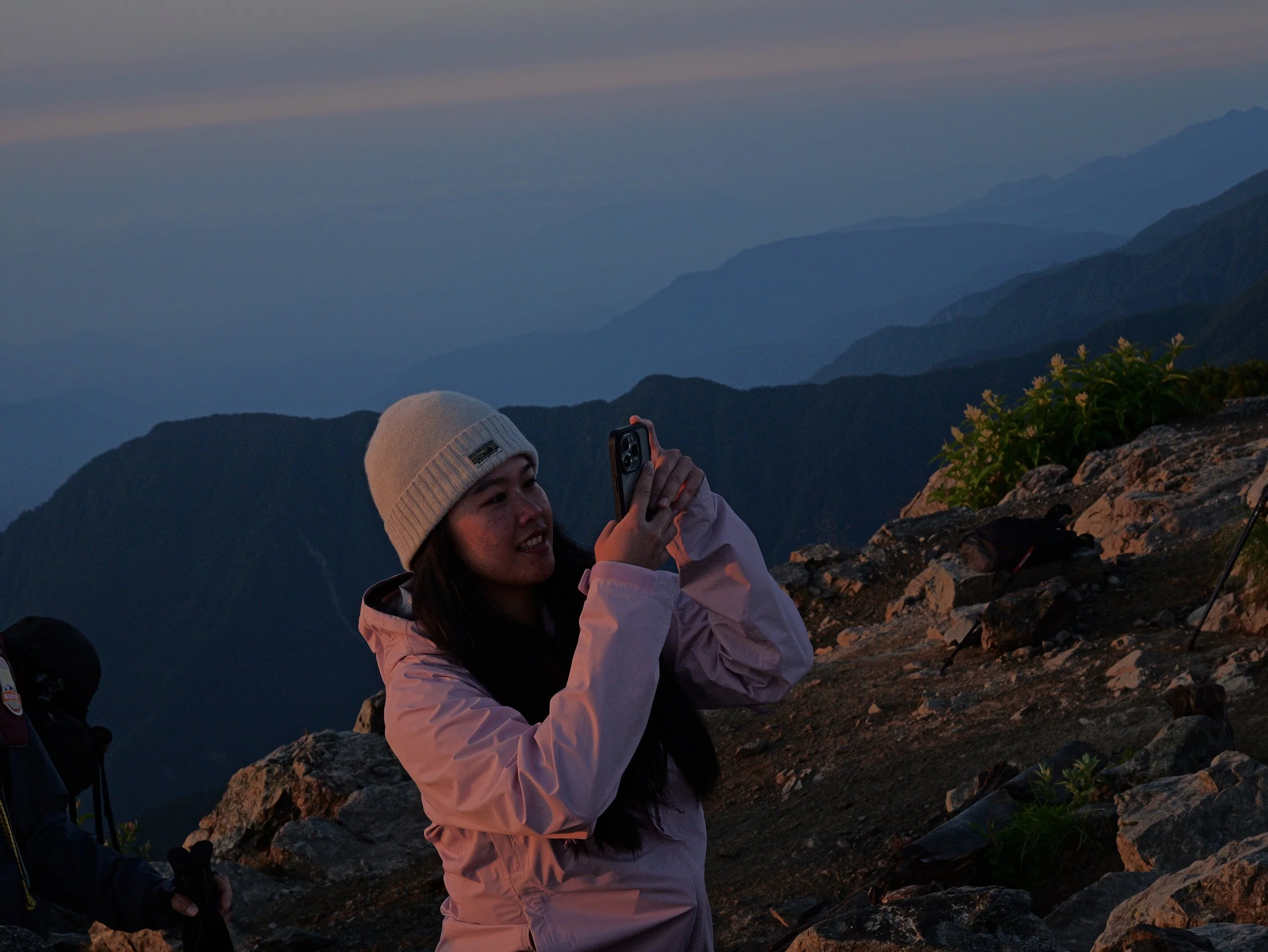
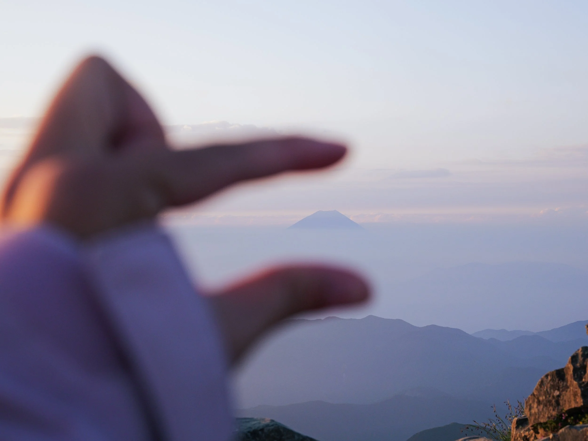
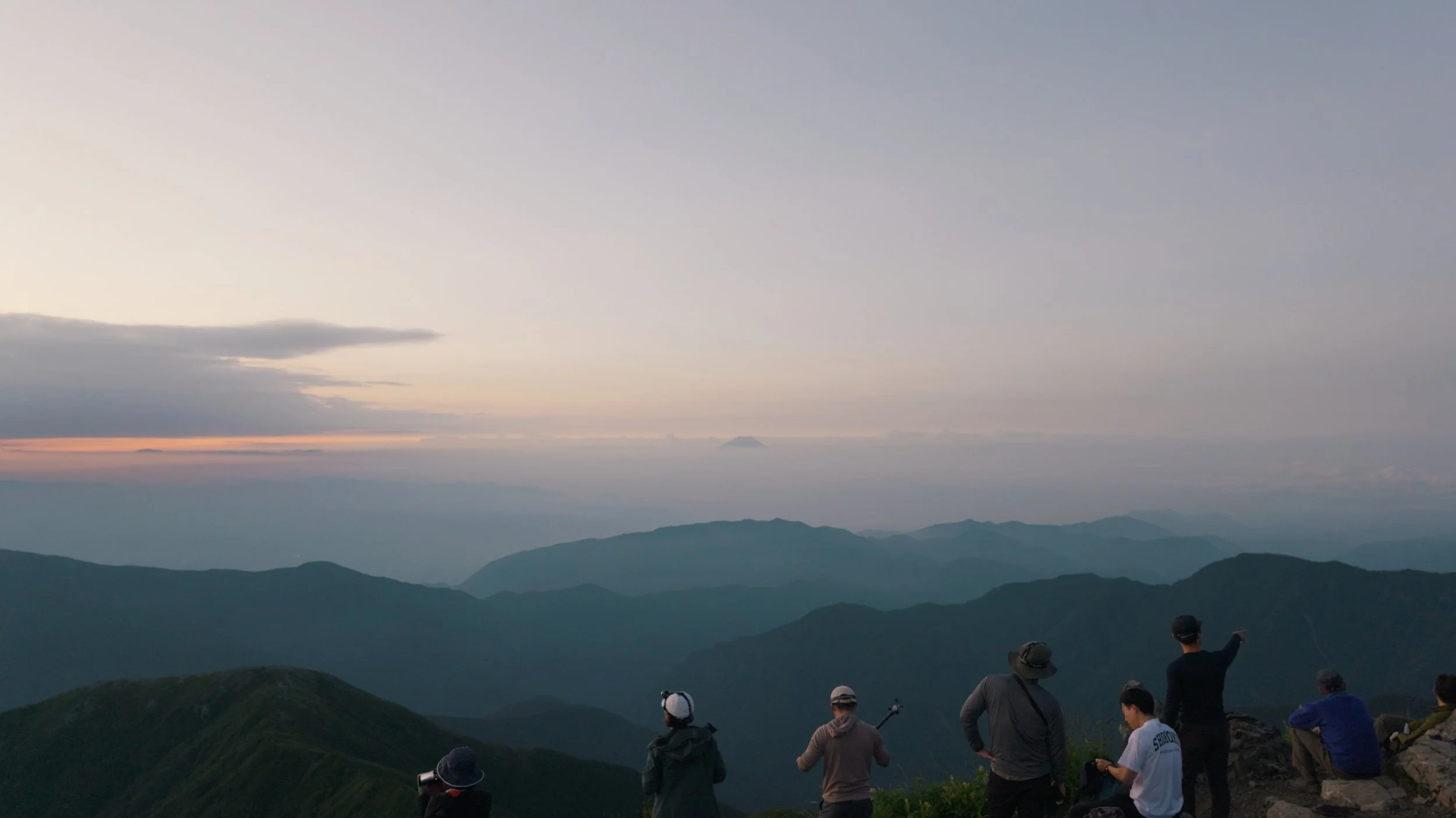
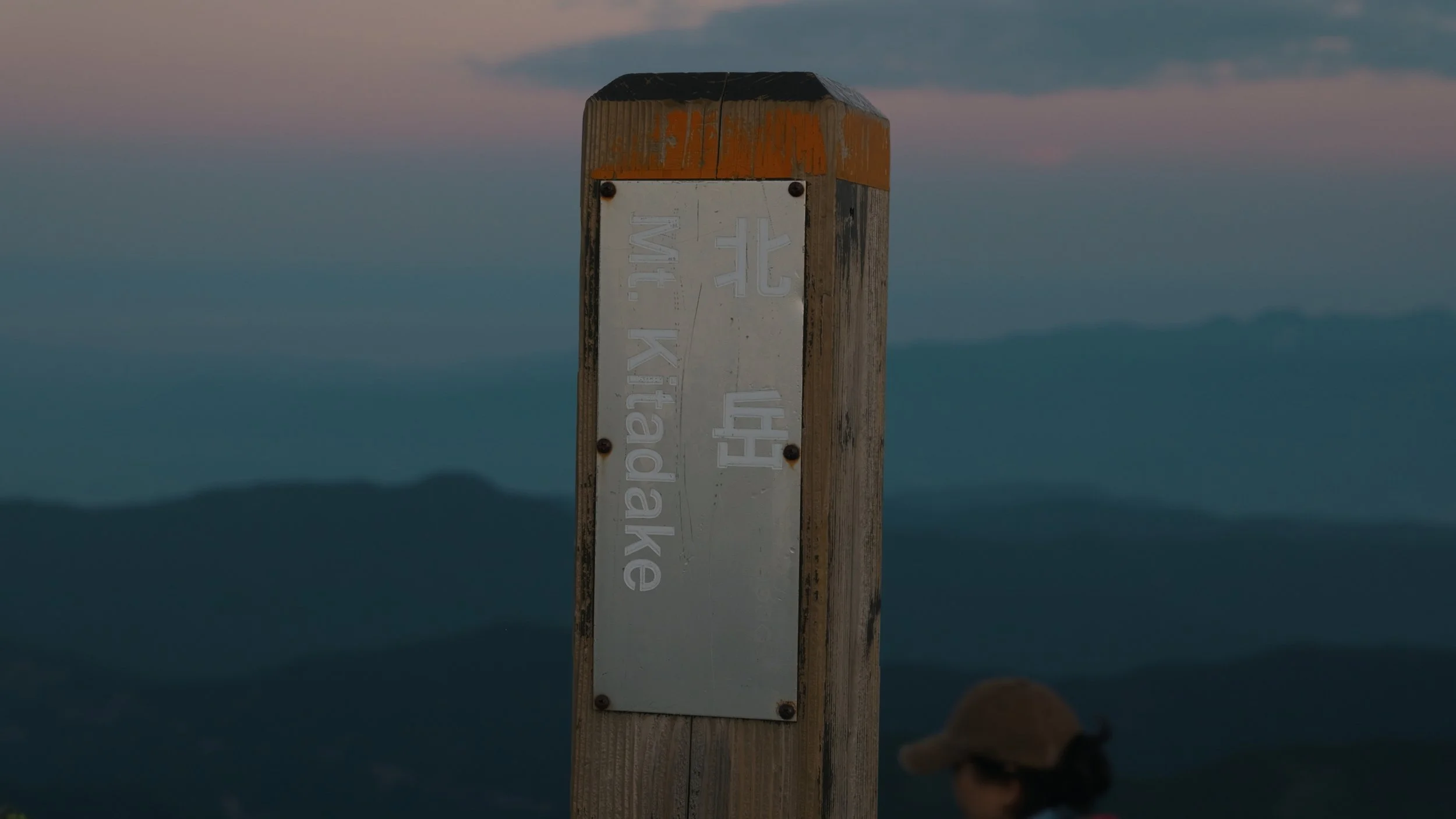
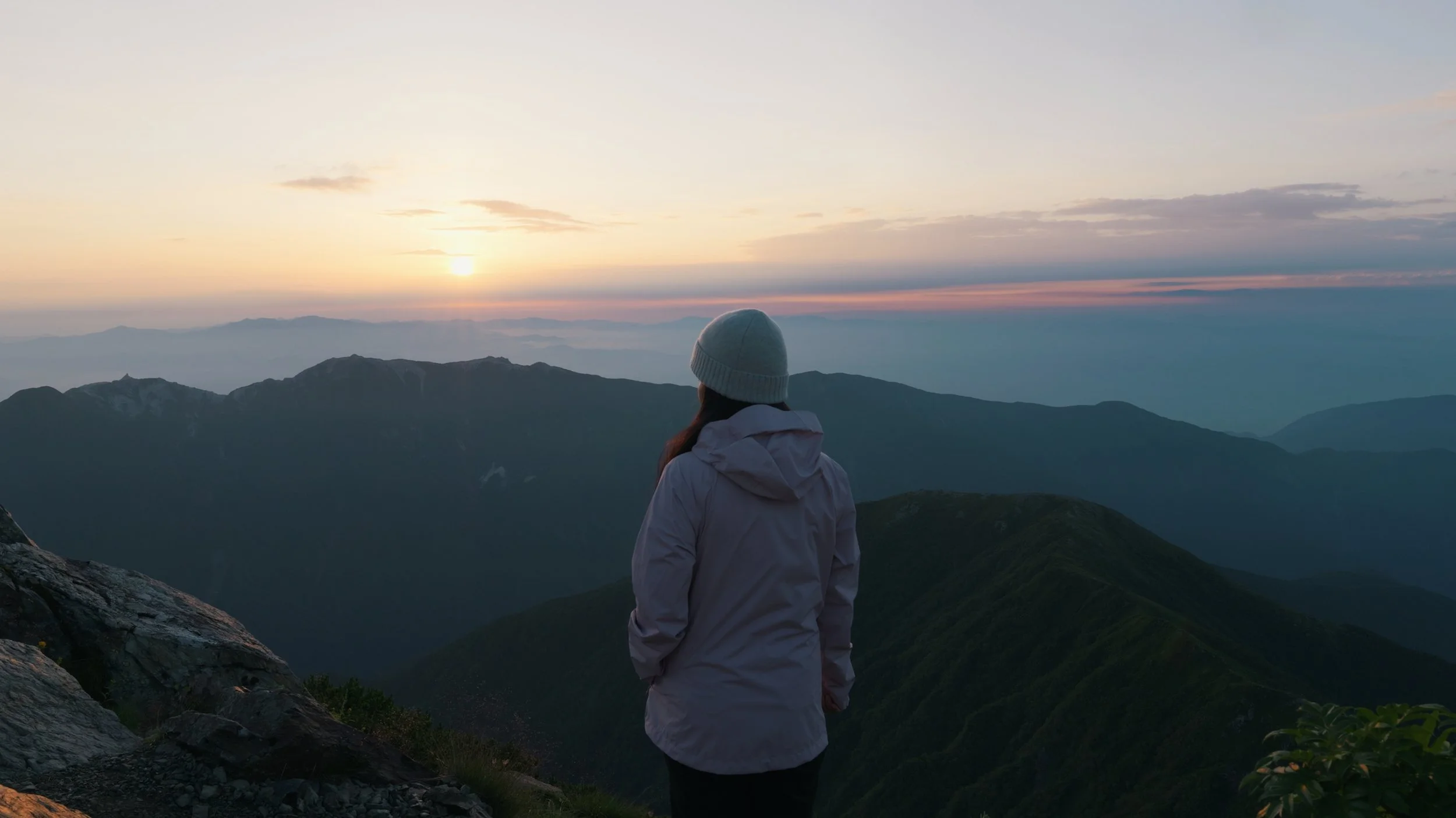
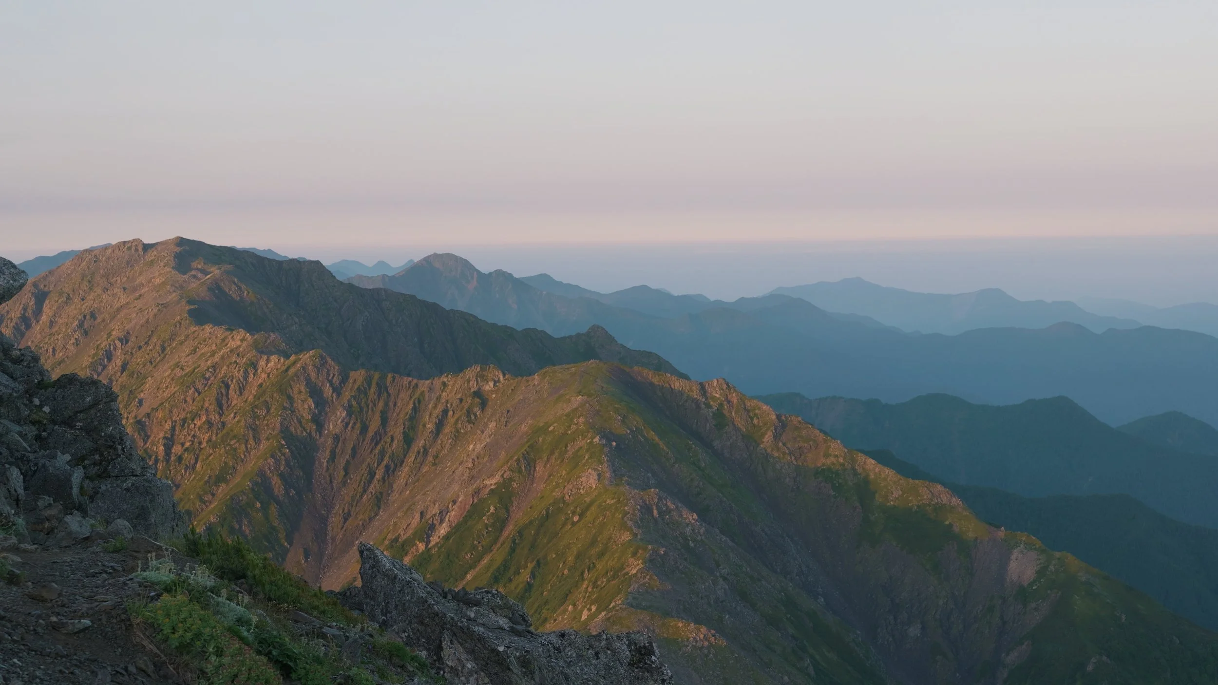
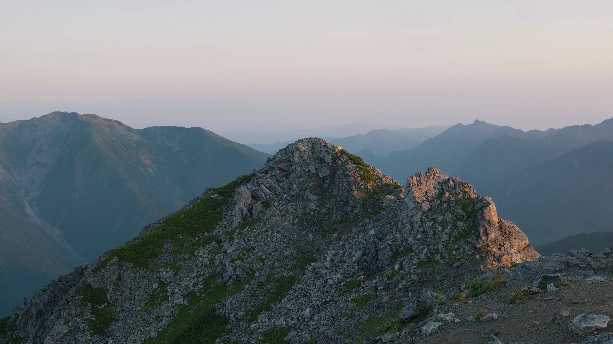
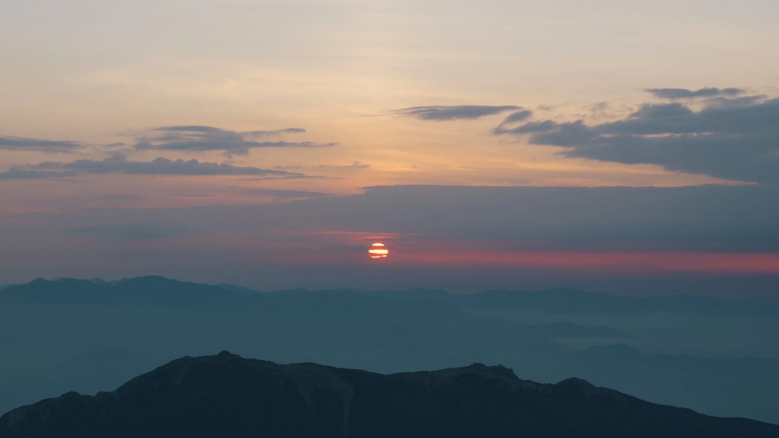
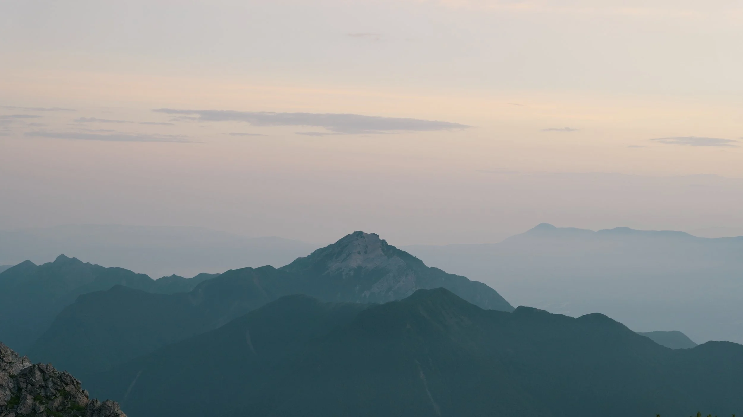
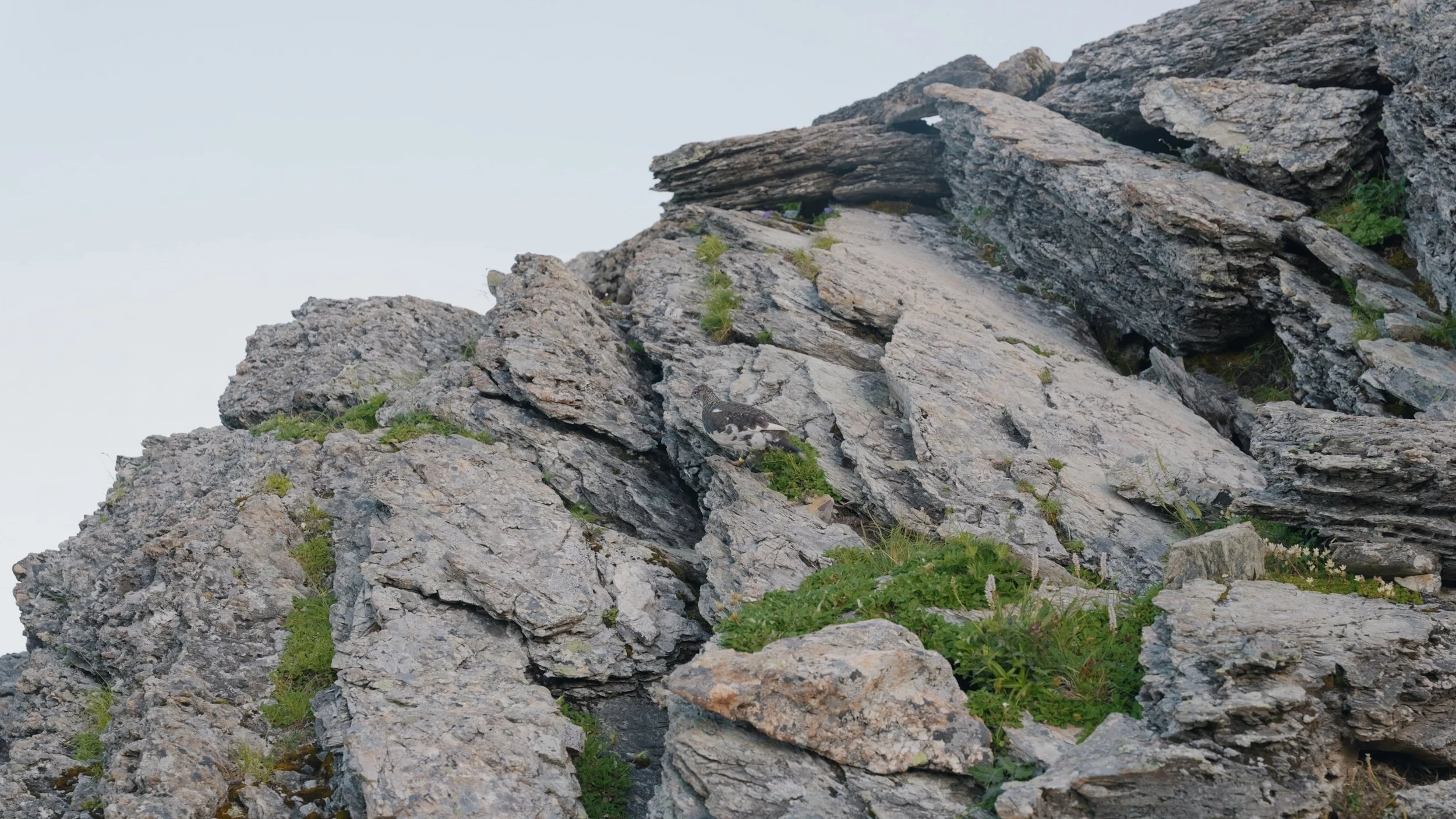
The original plan was to stay at Kitadake Sansou and hike Aino-dake on our second day. However, I definitely overestimated my fitness level, so I decided not to pursue Aino since I was extremely exhausted and we might miss our bus going back. So, after admiring the view from the summit of Kitadake, we started heading back to our tent at Kata-no-koya. On our way down, we saw a raicho!
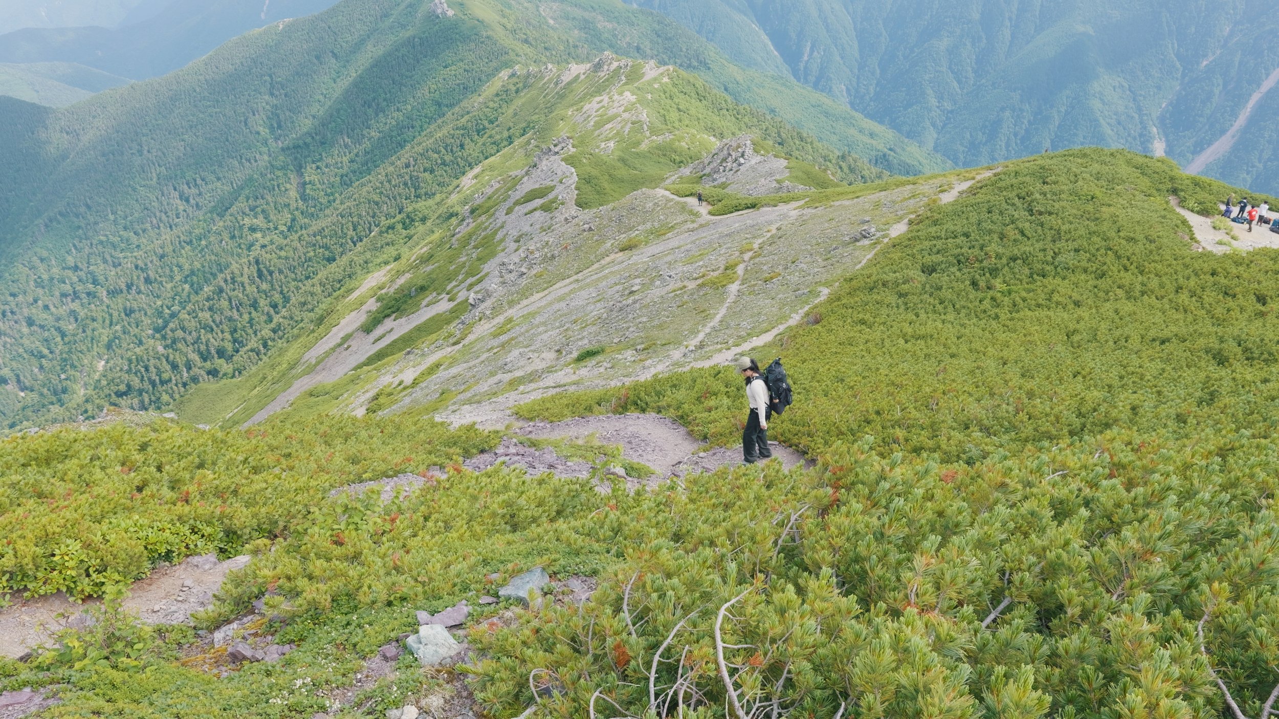
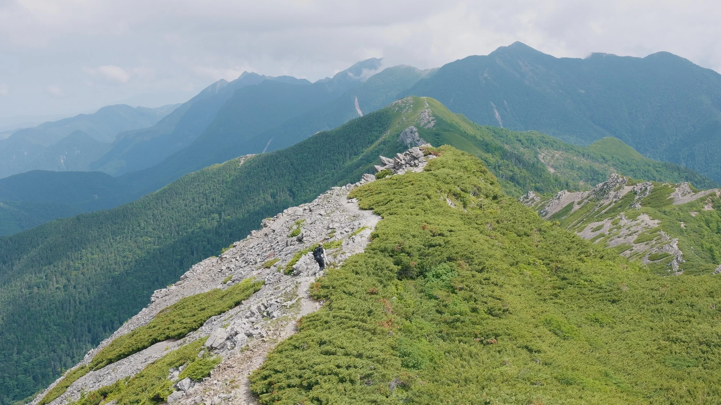
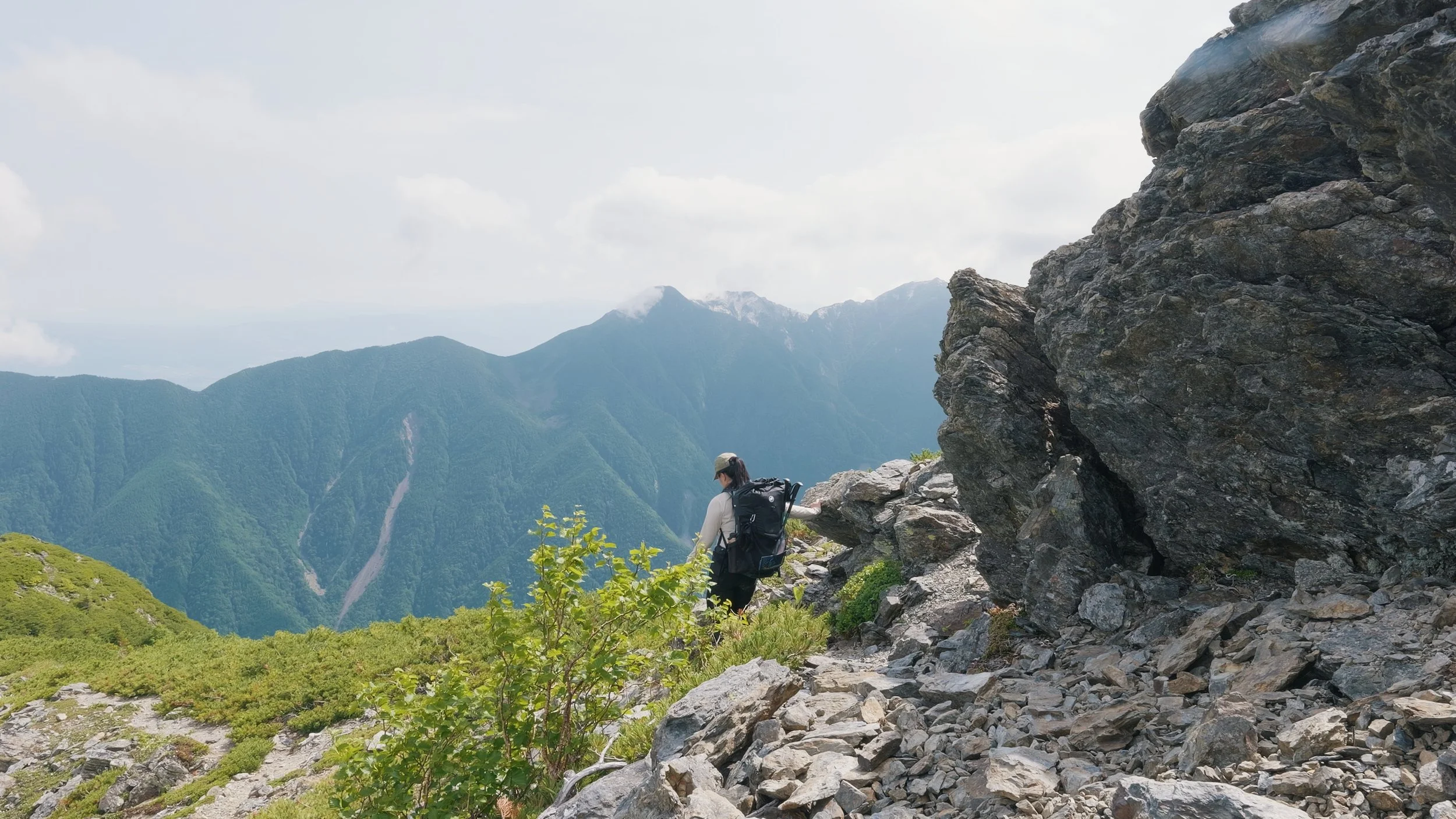
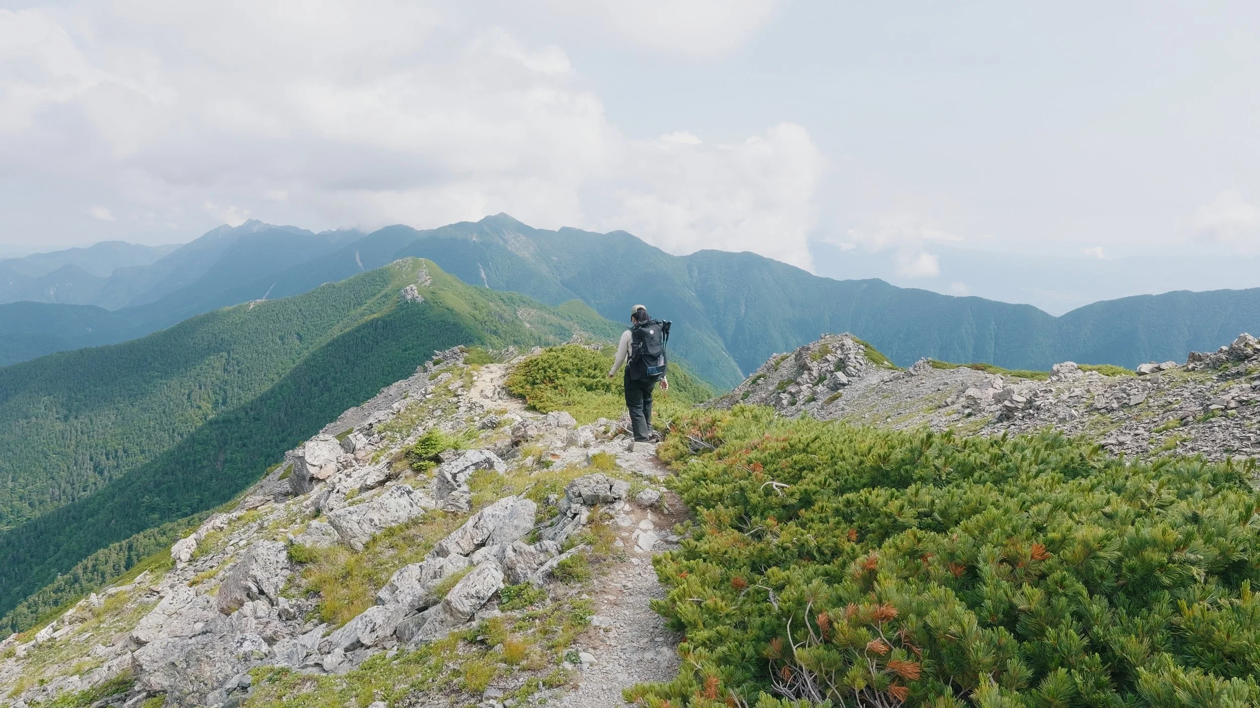
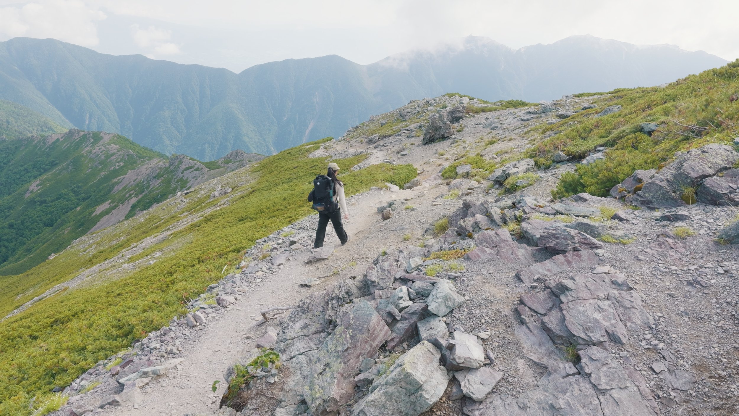
After packing up, we started heading down, taking the same trail we came from. Or did we? Enjoy these photos of us somewhere we shouldn’t be, haha. This path leads to Kotaroyama, and upon seeing this at the junction, I unknowingly just took this path because I was drawn to how pretty these ridgelines were and just wanted to walk on them. I realized that we were on the wrong trail after about 30 minutes. This added an hour to our hike, but I couldn’t complain. Just look at this beautiful path!
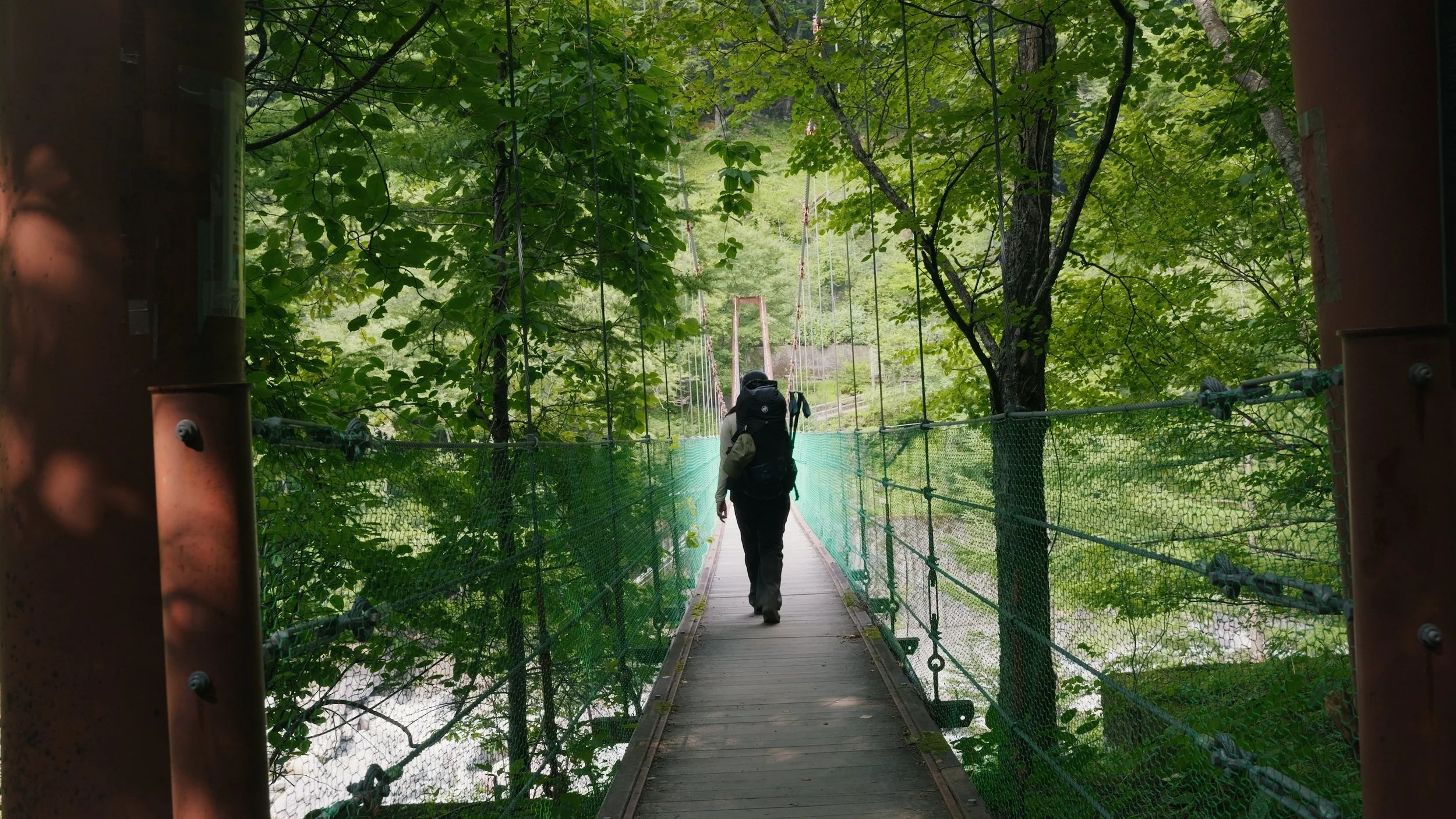
And just like that, we were back to where we started: the bridge. This hike was steep and long, and I honestly think I could’ve prepared for it better. I’ll try this mountain again next time, summiting all of the Shirane Sanzan (Kitadake, Ainodake, Notoridake), but I will make sure that my cardio and knees are ready.
See you on the trails, everyone!
