
HIKE DATE: August 12, 2026
PUBLIC TRANSPORT SUMMARY
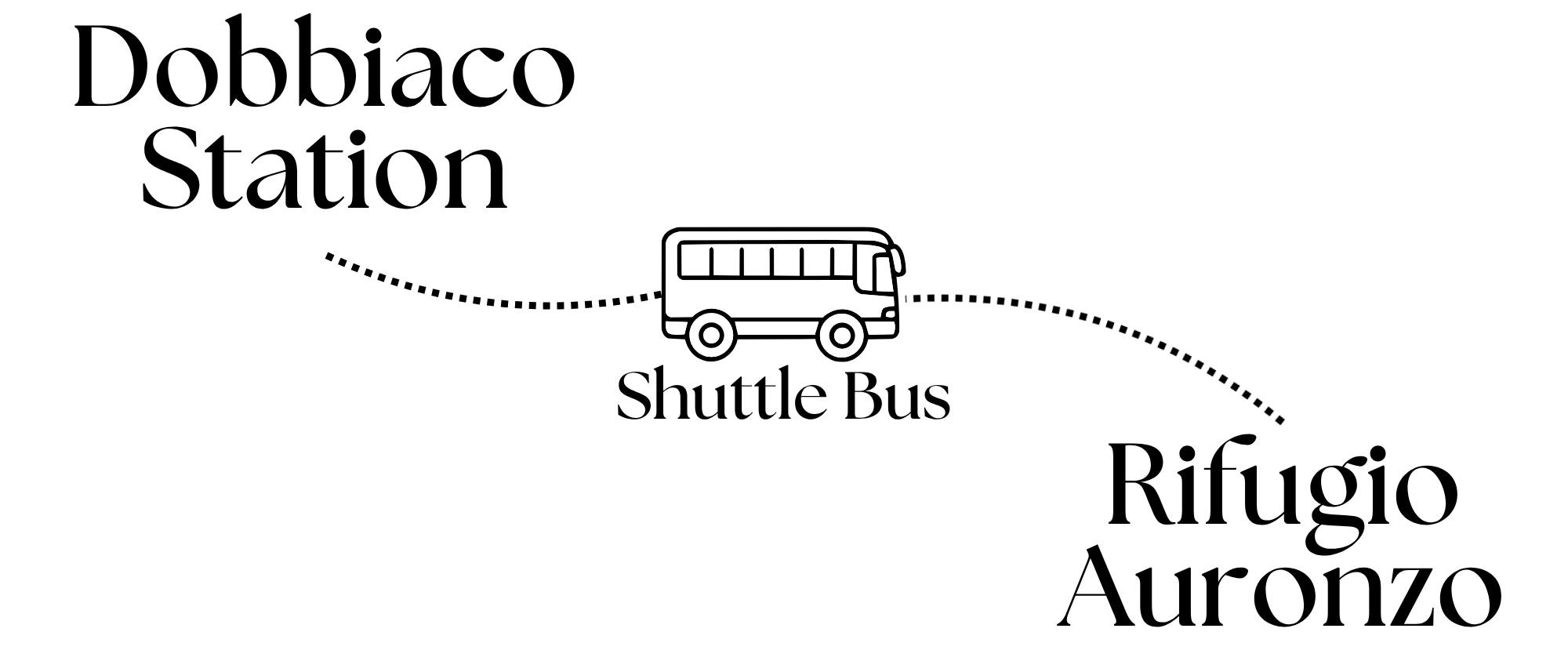
From Dobbiaco/Toblach, take Bus 444 to Rifugio Auronzo. During the high season, the Südtirol Guest Pass is not valid for this route, and you should reserve your seats in advance here. It costs 22 Euros from Dobbiaco/Toblach. Check the bus timetable here.
From Cortina (bus stop name: Cortina Scuole), take the Dolomiti Bus Line 51 to Misurina Genzianella, then transfer to Line 50 bound for Rifugio Auronzo.
Note that these are seasonal routes and schedules can change depending on the dates of your trip. For a more up-to-date timetable, check out their official websites.
THE ROUTE:
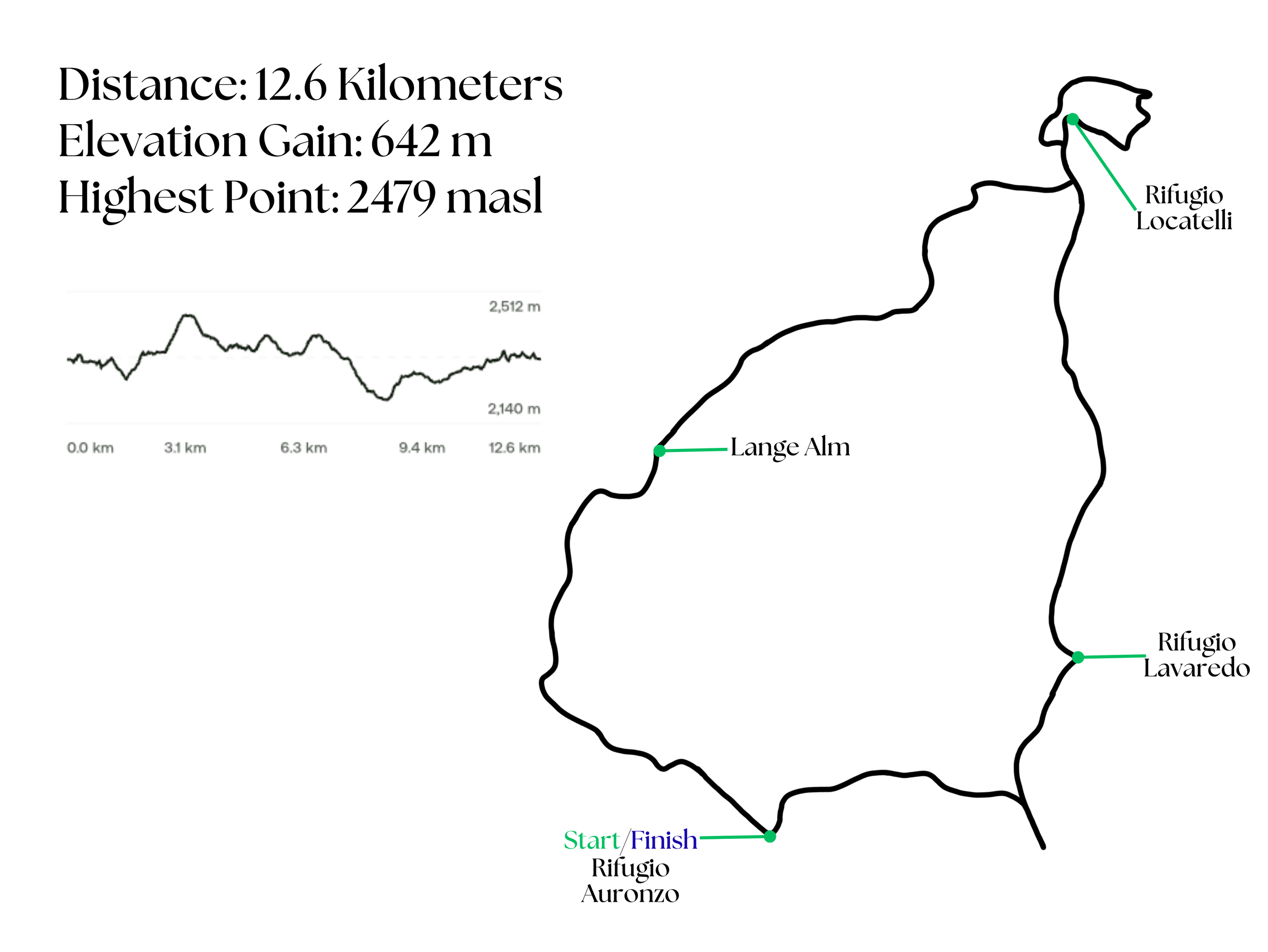
Total time on the trail: 6 hours and 30 minutes (includes total breaktime of about 2 hours)
Hike Log Summary:
7:28 AM - Took Bus 444 to Rifugio Auronzo
8:25 AM - Arrived at Rifugio Auronzo and had breakfast.
9:00 AM - Started hiking.
10:00 AM - Reached Rifugio Lavaredo
10:23 AM - Reached the first viewpoint of Tre Cime
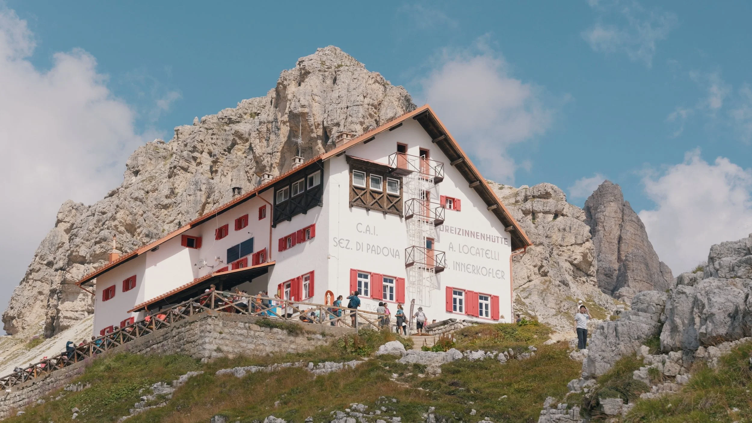
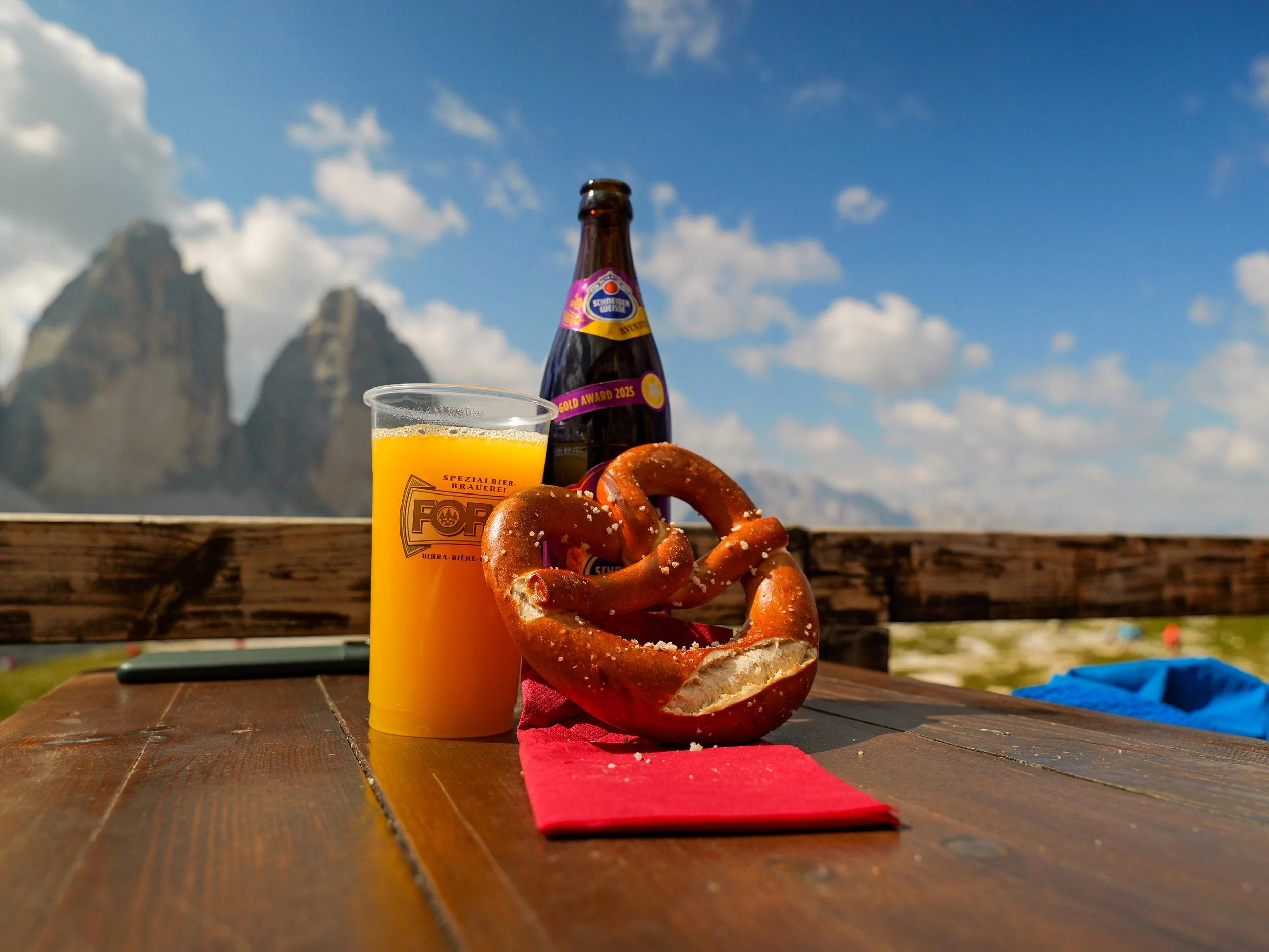
11:20 AM - Arrived at Rifugio Locatelli, had some drinks and a pretzel.
12:00 Noon - Went to Laghi dei Piani.
2:20 PM - Arrived at Lange Alm.
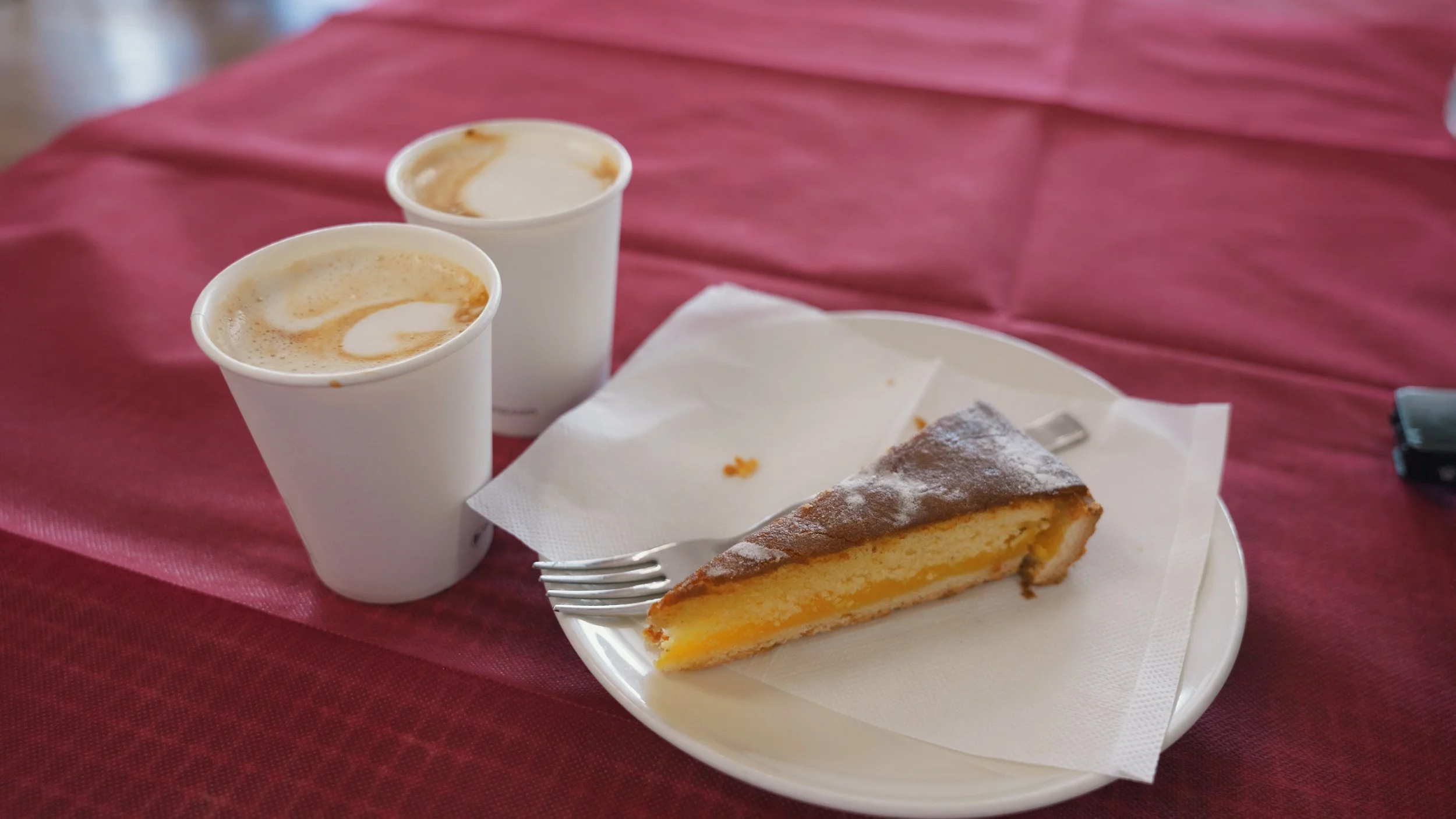
3:35 PM - Back at Rifugio Auronzo, had some coffee and dessert, and waited for our bus back to Dobbiaco.
The Dolomites’ most iconic landmark
Tre Cime, also called Drei Zinnen in German or Three Peaks in English, is one of, if not the most iconic landmarks of the Dolomites. It is also one of the most popular ones, so expect a lot of people when you visit. Located in South Tyrol, expect to see and hear both German and Italian when you go, as the region has three official languages, including Ladin, a Rhaeto-Romanic language and the oldest of the three.
GETTING TO THE TRAILHEAD
We based ourselves in Dobbiaco/Toblach since there are direct buses to the places we were planning to go from there. From Dobbiaco Station, we took Bus 444 to Rifugio Auronzo.
RIFUGIO AURONZO TO RIFUGIO LAVAREDO
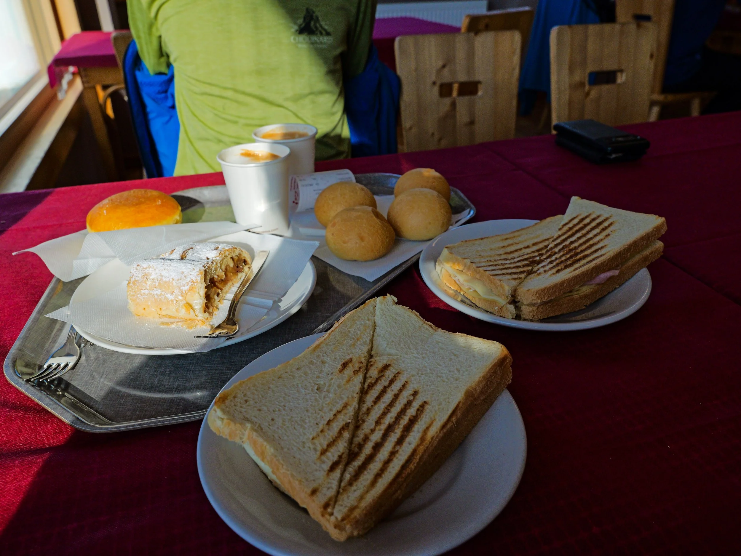
We arrived at Rifugio Auronzo at around 8:30 and first stopped by for coffee and breakfast. These sandwiches were HUGE, and we decided to eat only half of them and ate the other half at the end of the hike while we waited for our bus.
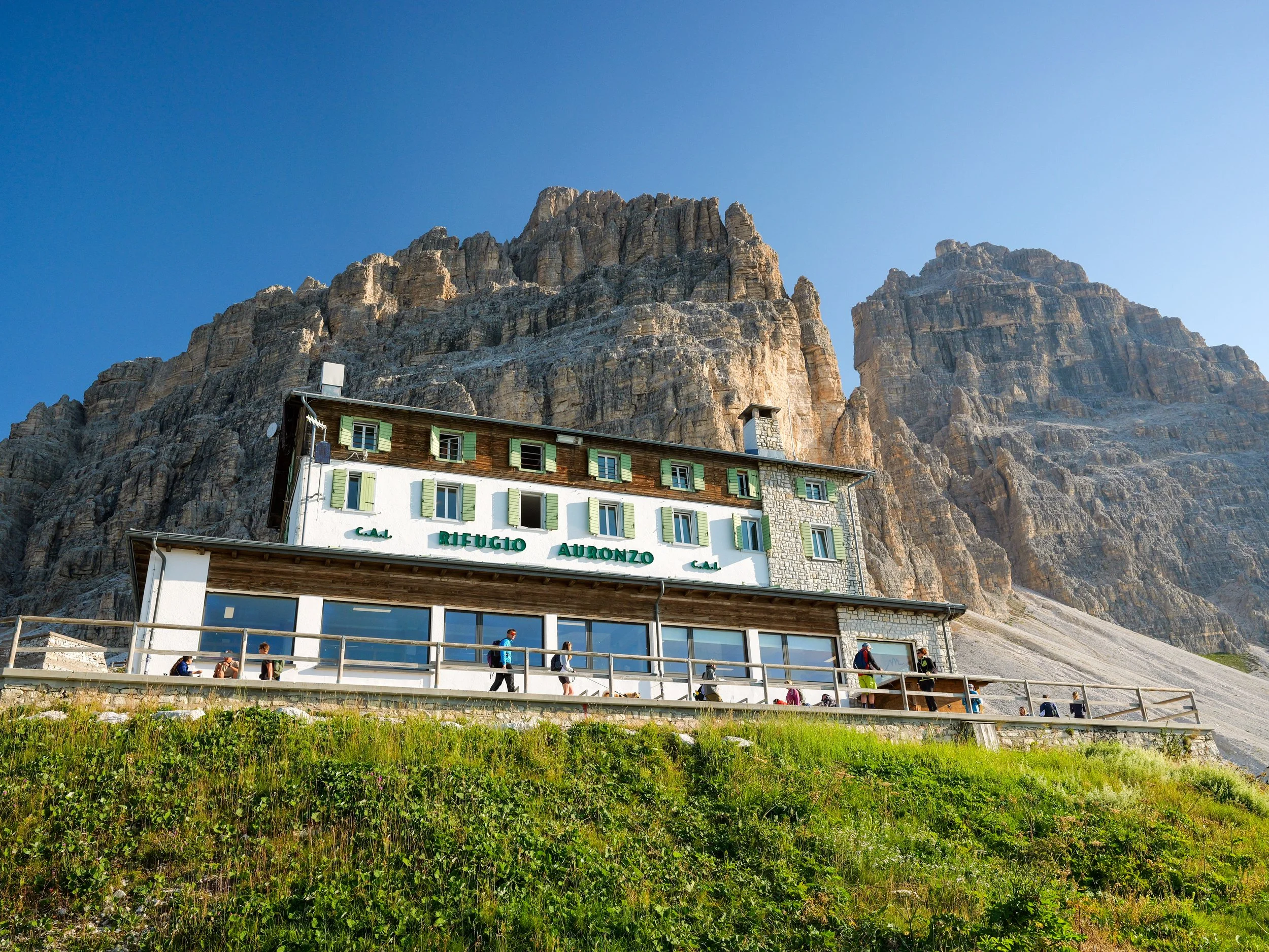
After having our fill, we started our hike, taking Trail 101. This section of the hike to Rifugio Laveredo was mostly flat, so you can save your energy for the later part of the trail. Also, the view just blew me away.
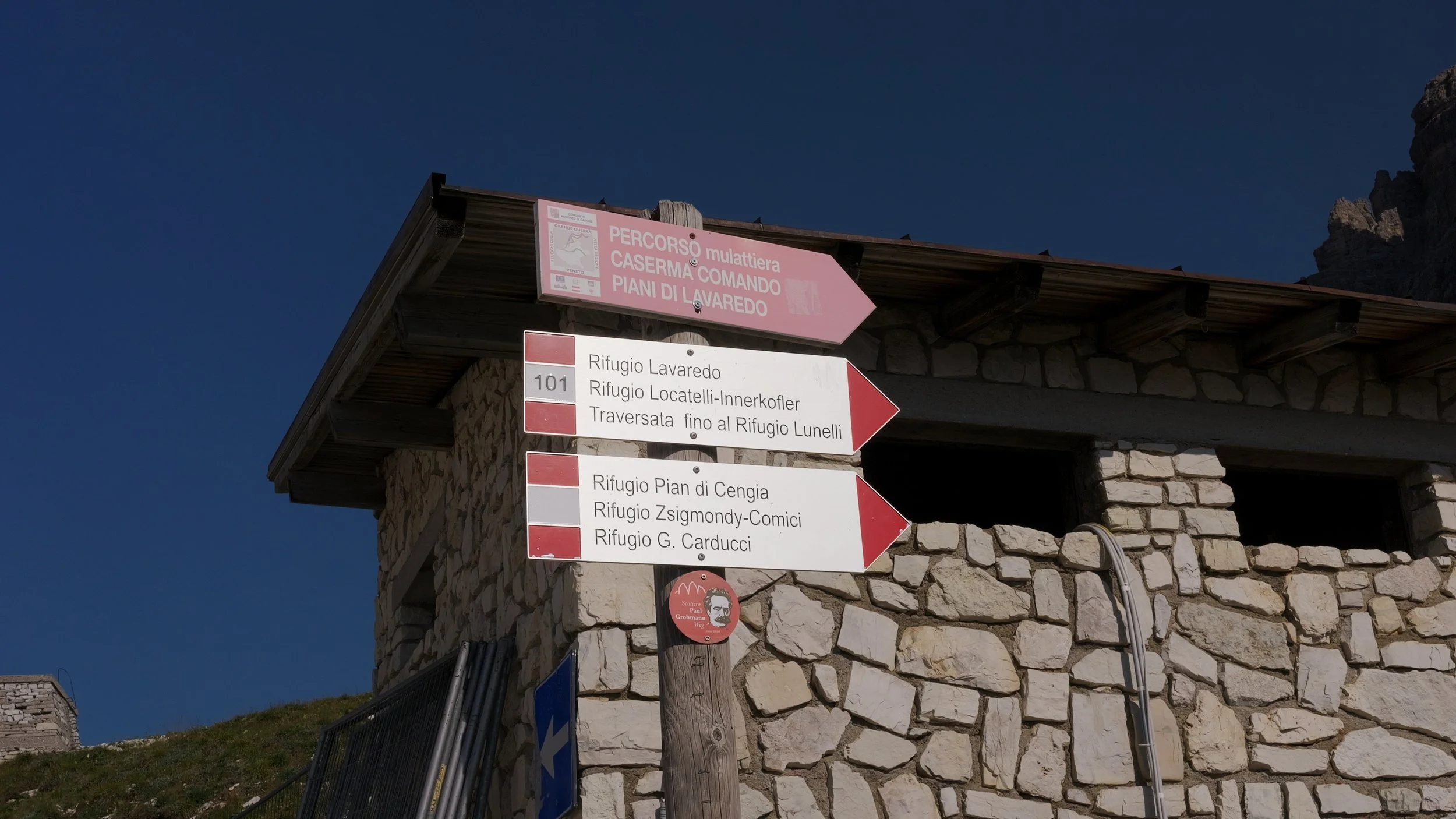
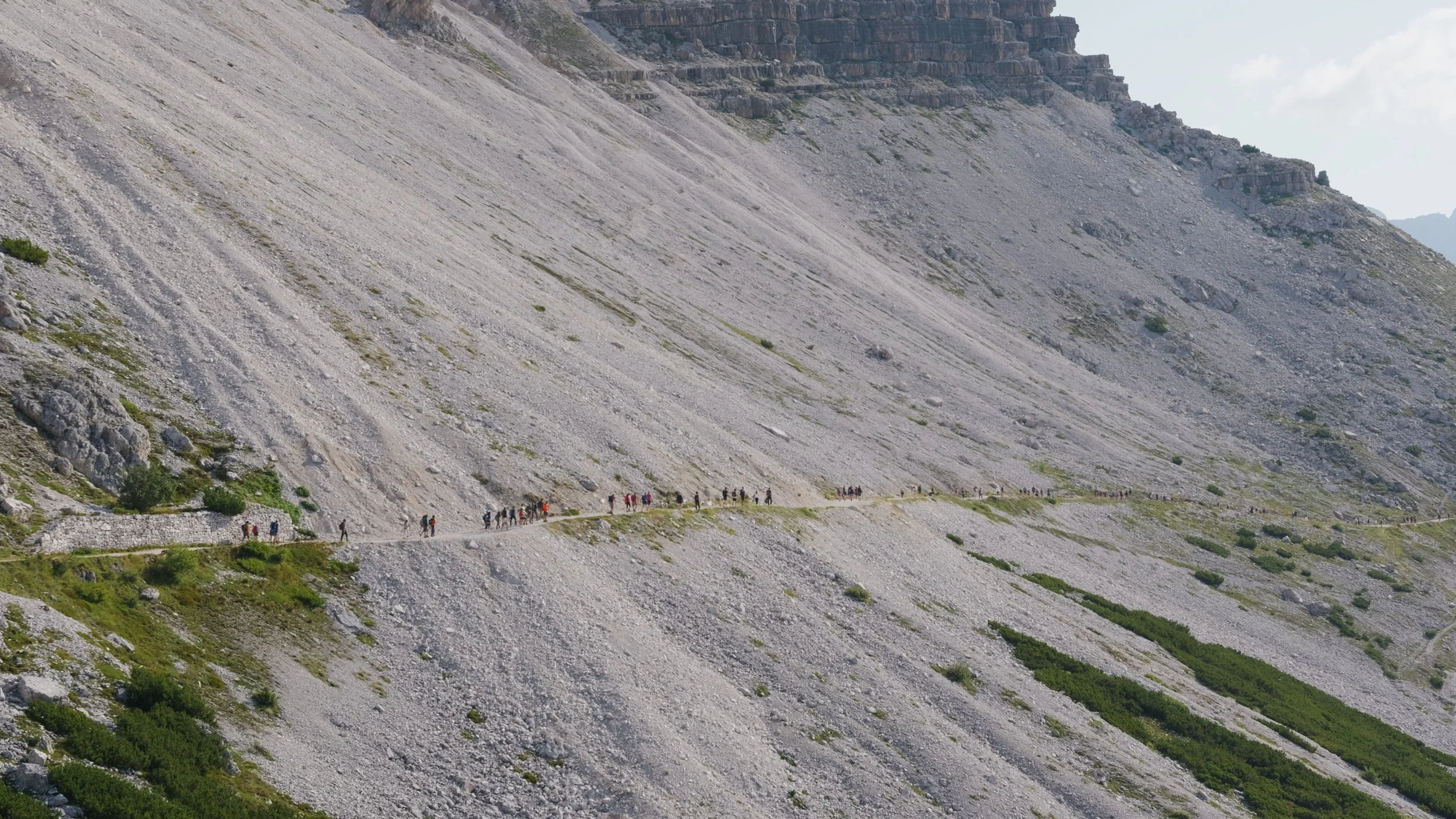
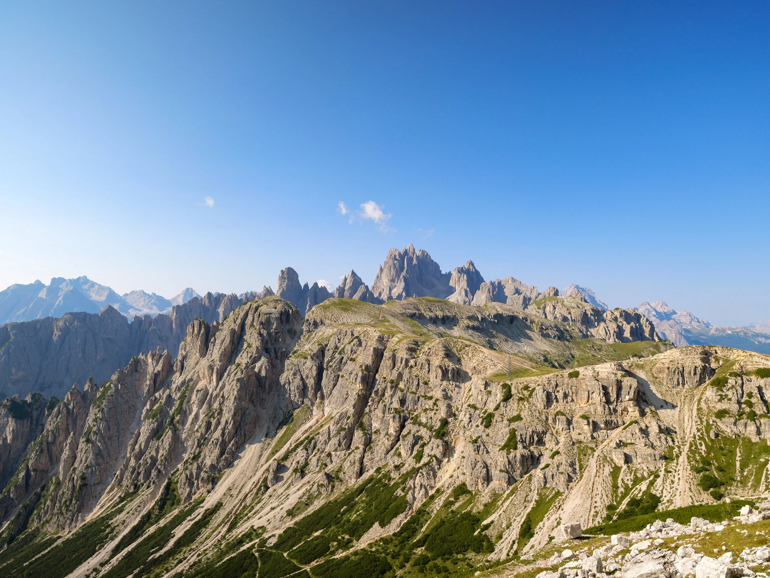
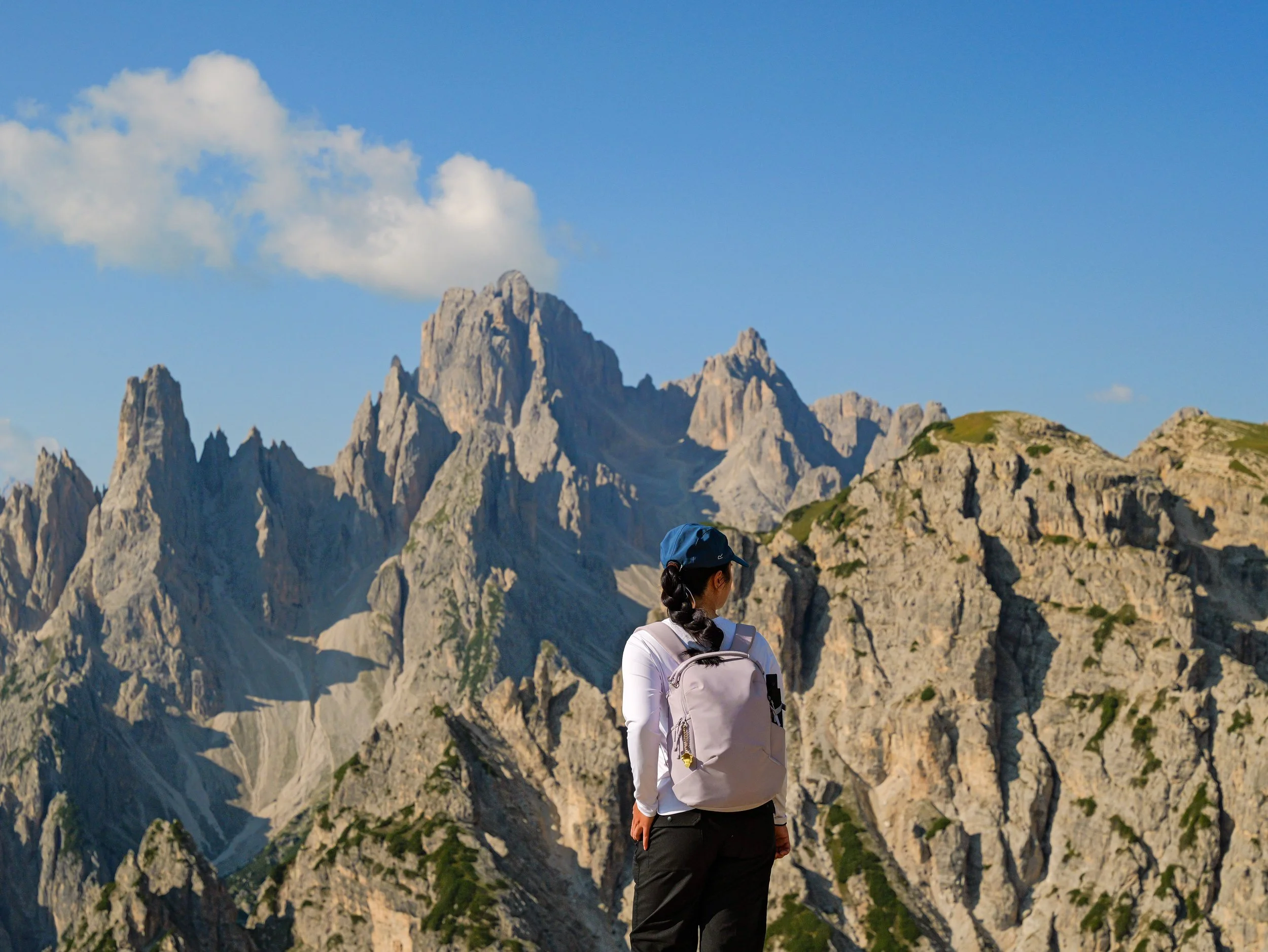
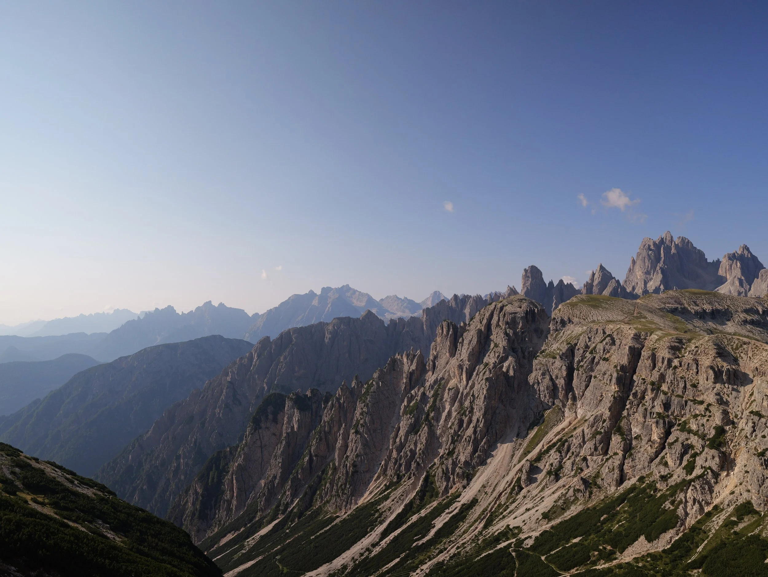
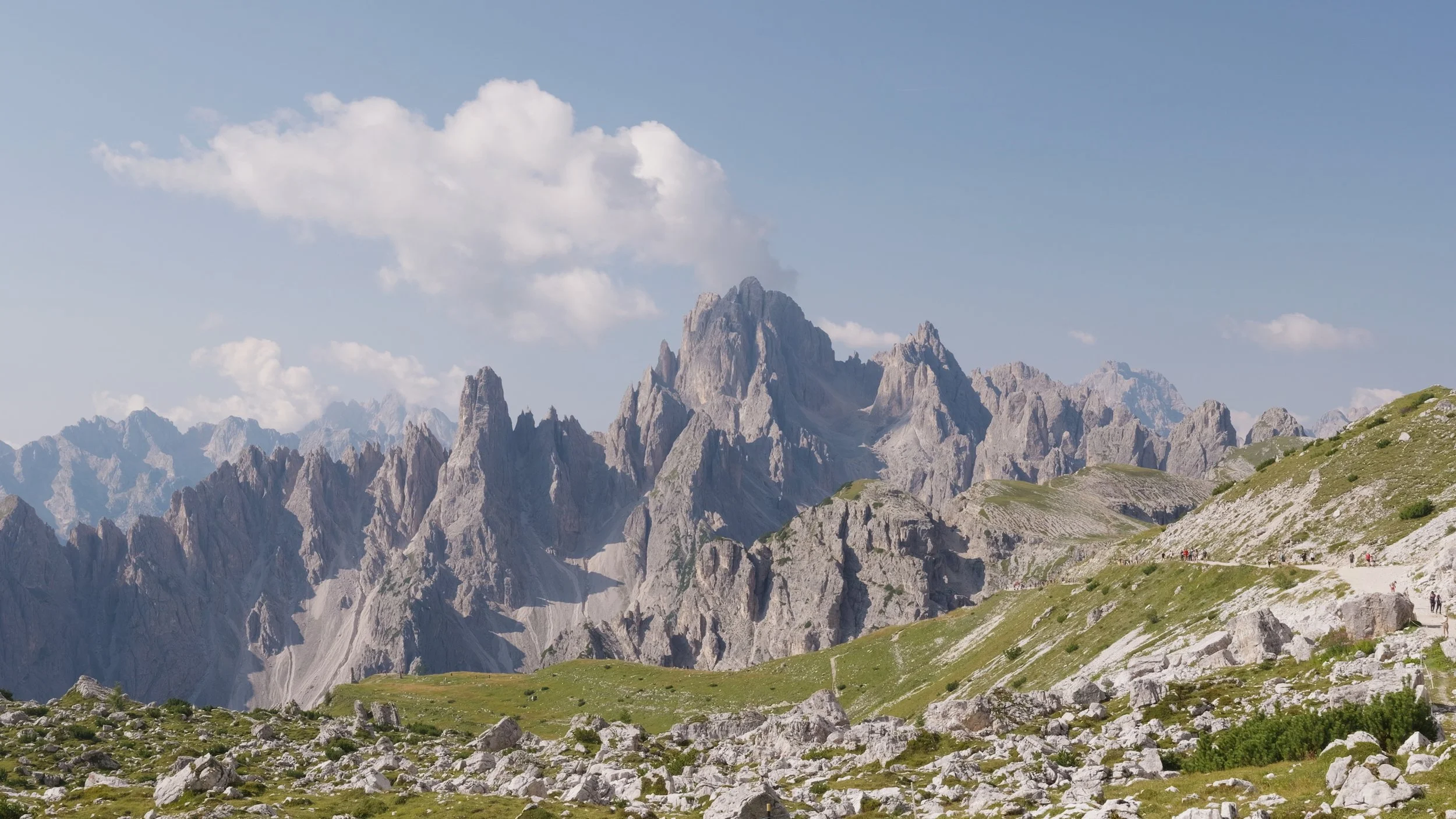
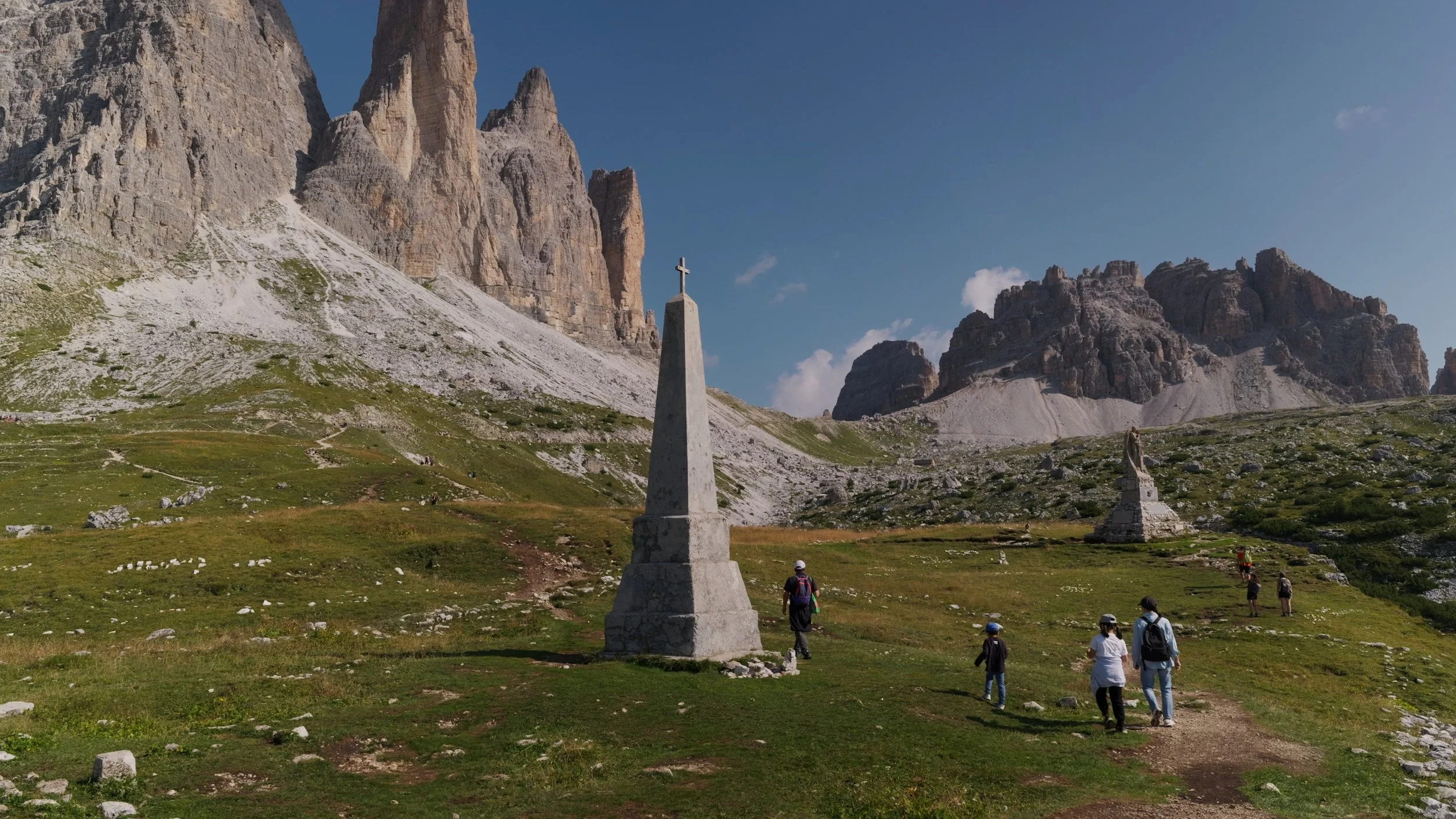
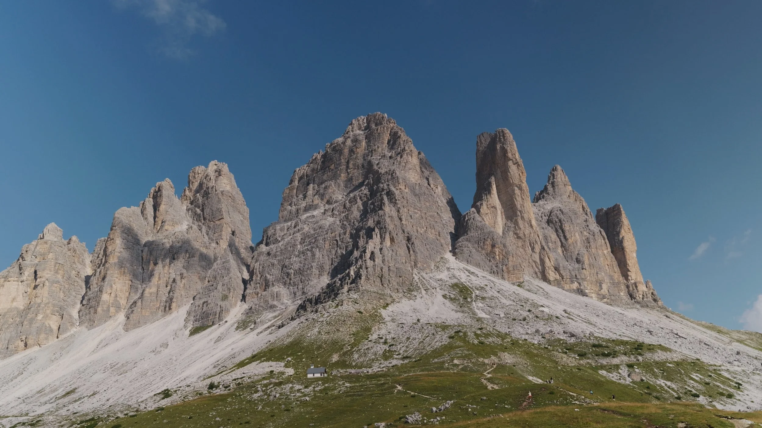
After just about an hour of walking, we have reached Rifugio Lavaredo. We did not stop by here since we just had breakfast, so we continued along our hike. This is also the start of some steep inclines on the hike.
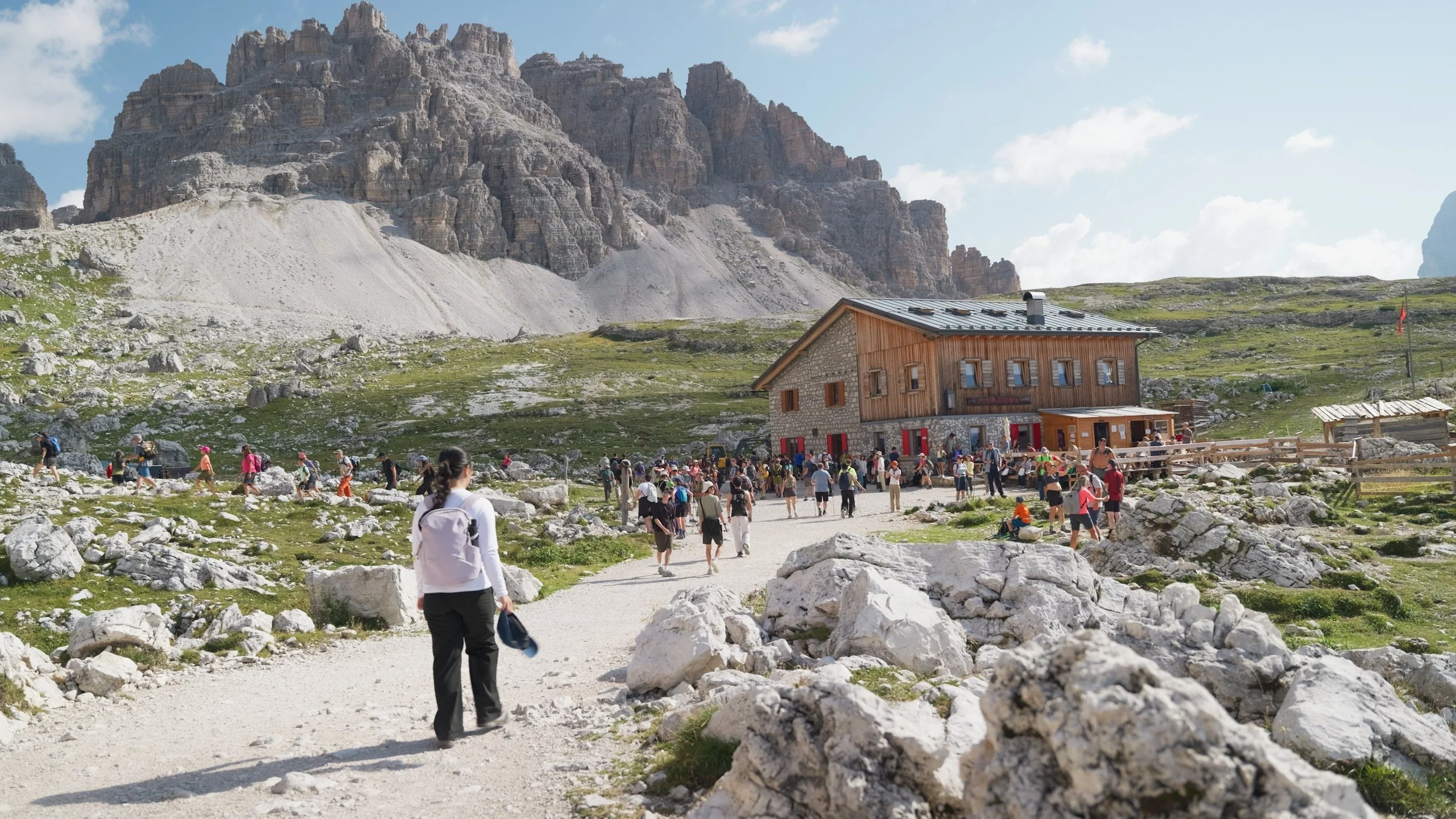
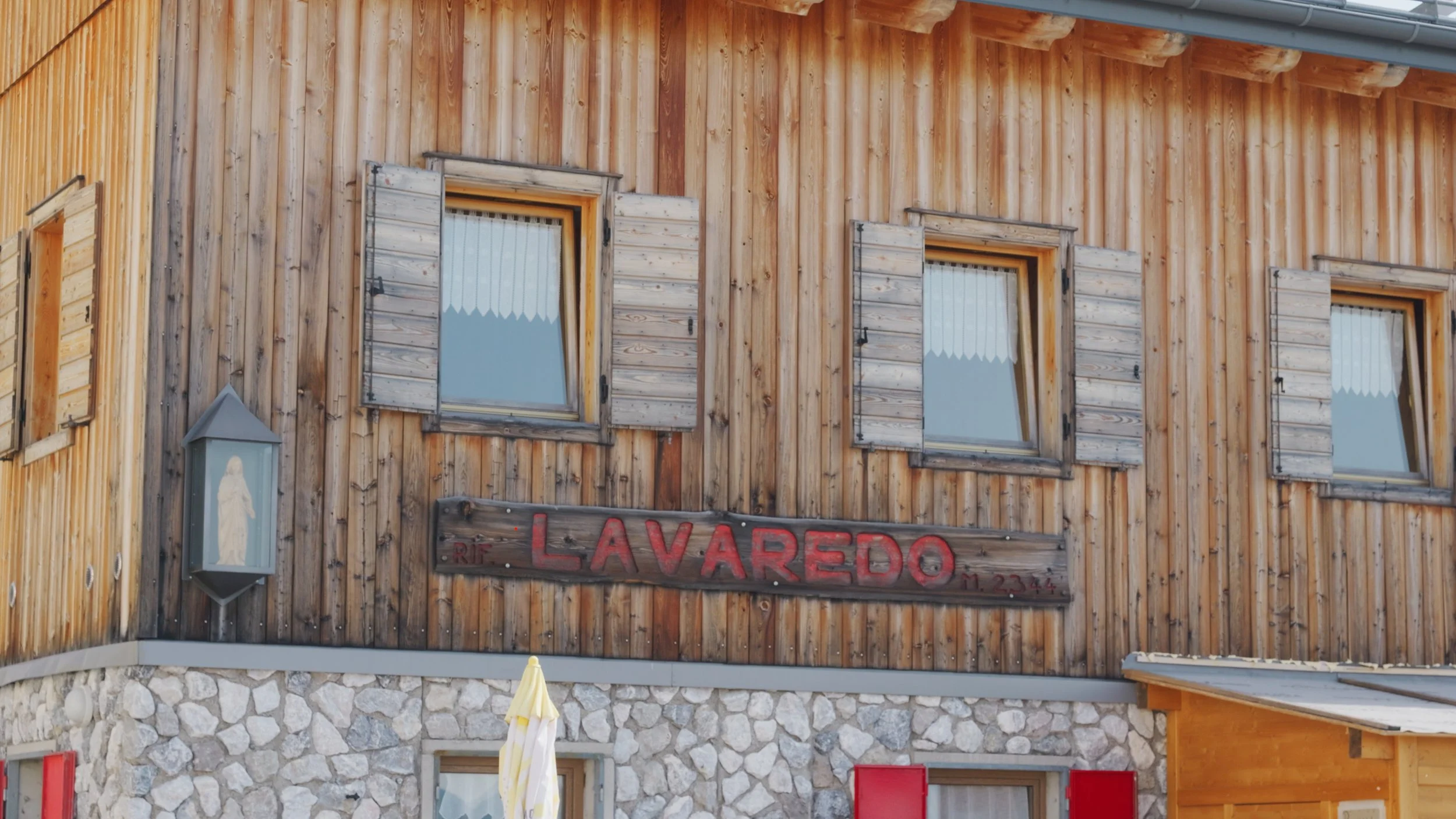
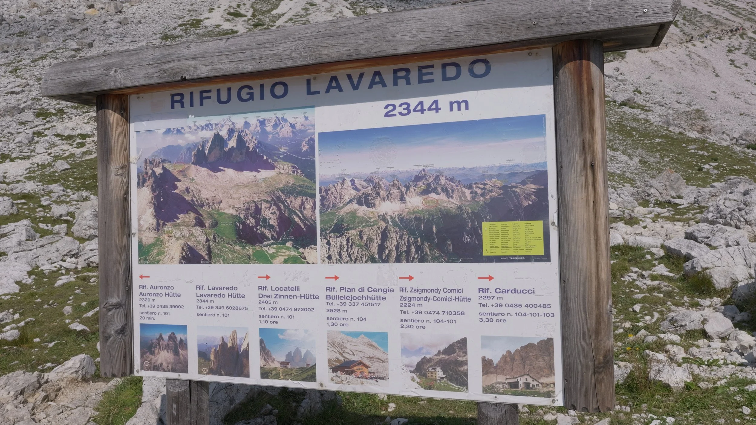
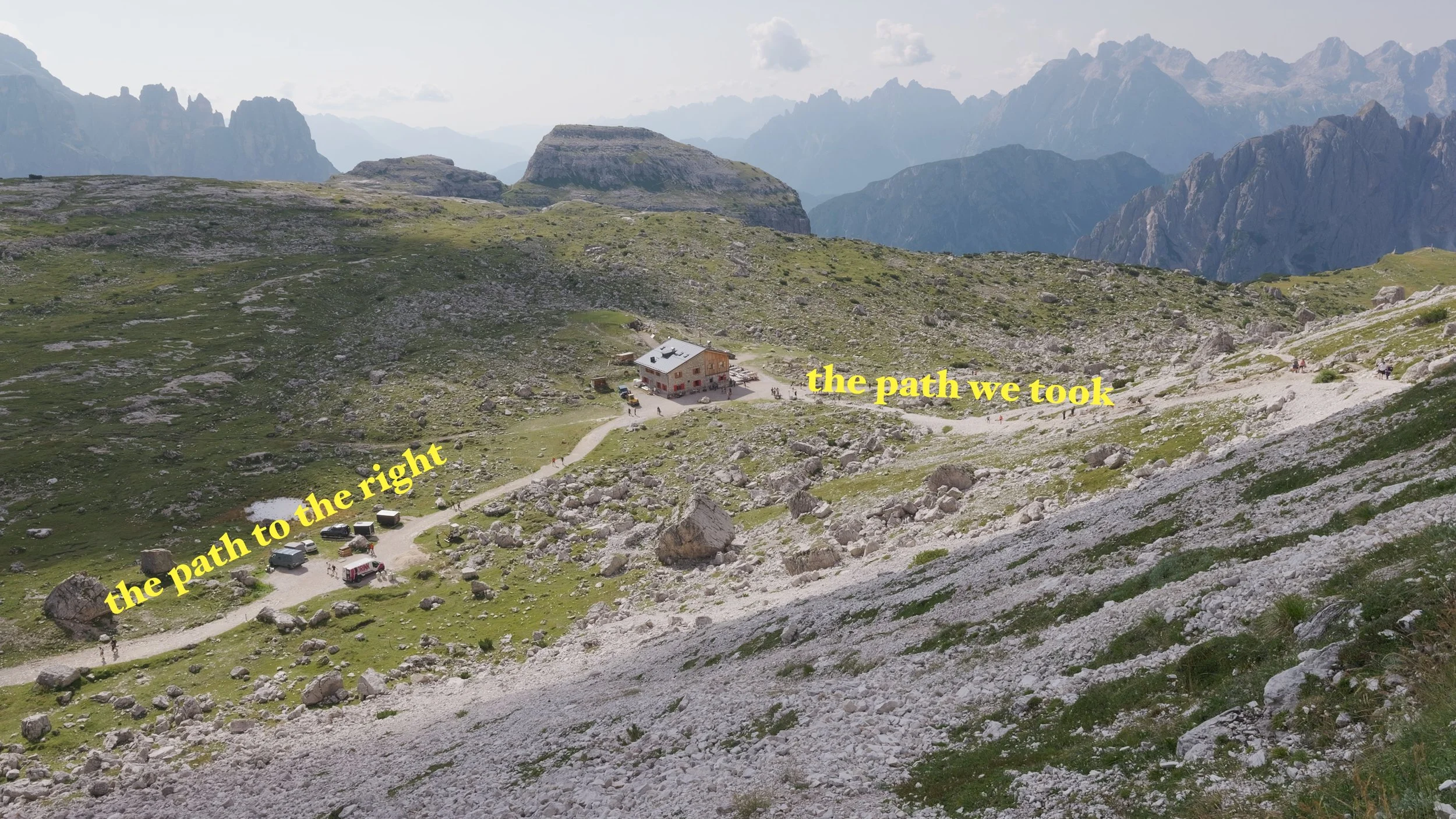
One thing to add about the trail is that, from Rifugio Lavaredo, if you want a lesser steep path, take the path to the right. These two routes will meet up at the same point.
RIFUGIO LAVAREDO TO RIFUGIO LOCATELLI
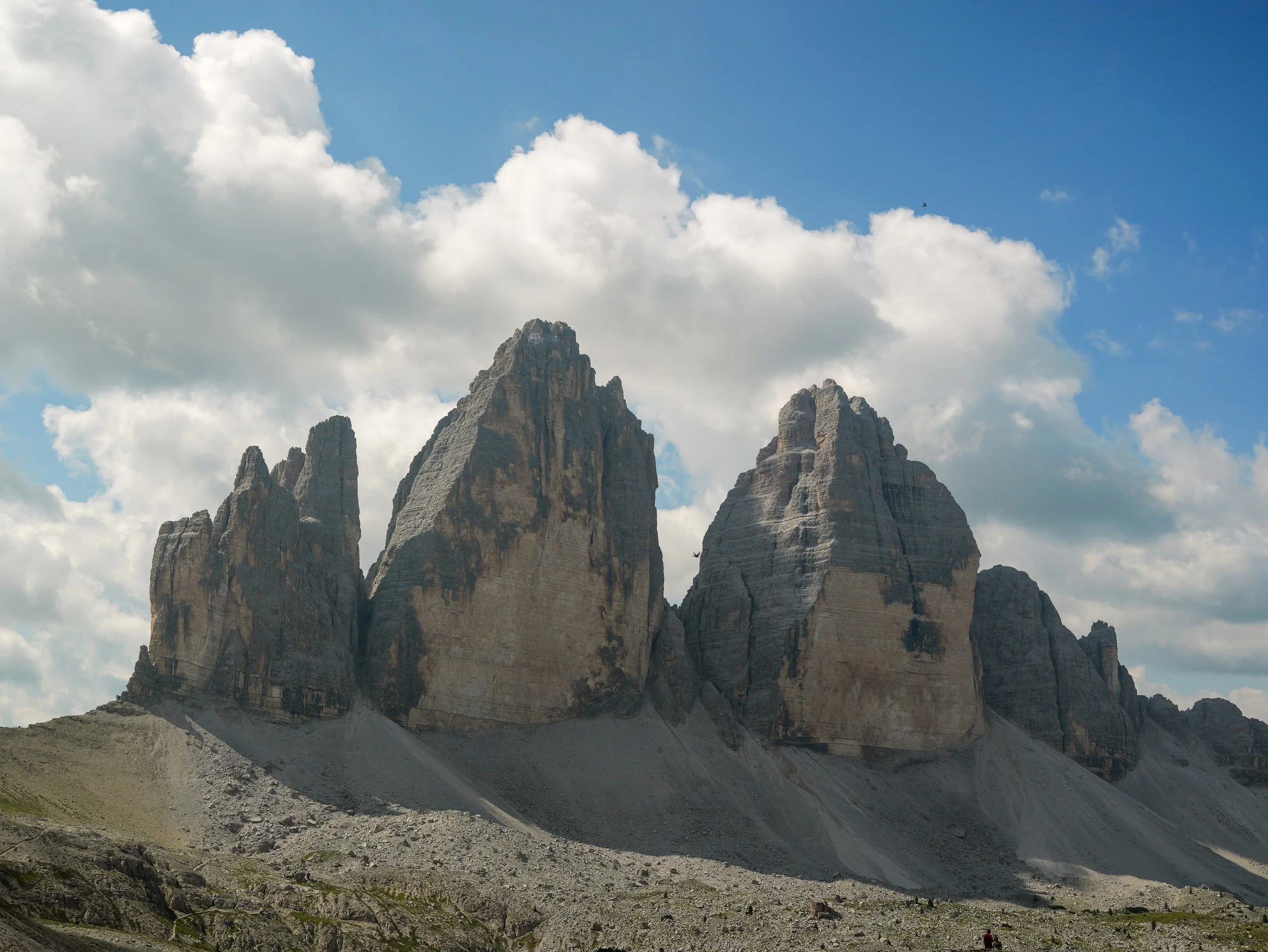
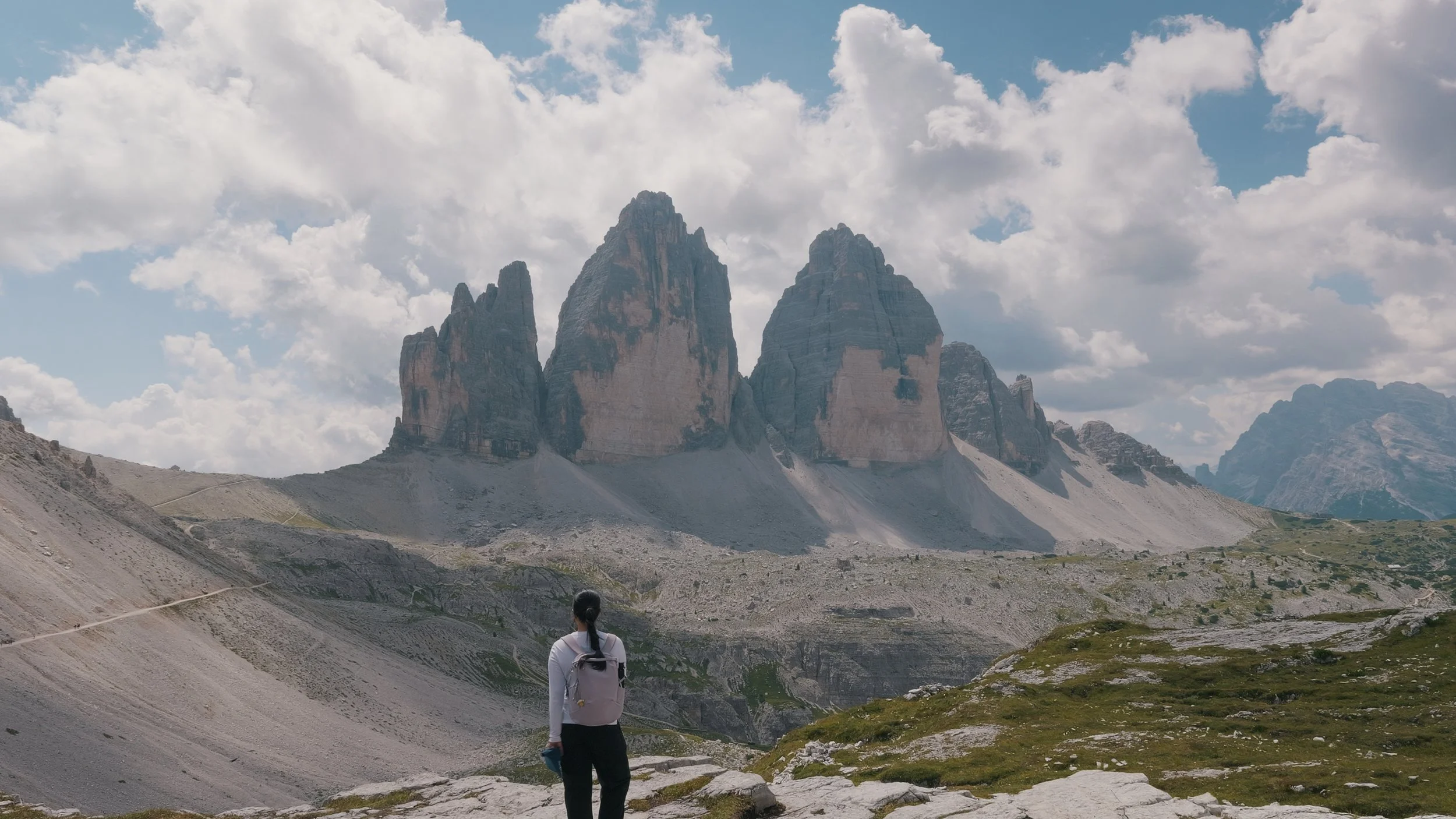
From Rifugio Lavaredo, it was only a few minutes until we reached Forcella Lavaredo, the first viewpoint you get of Tre Cime. This area gives you the chance to take in just how big the Three Peaks really are.
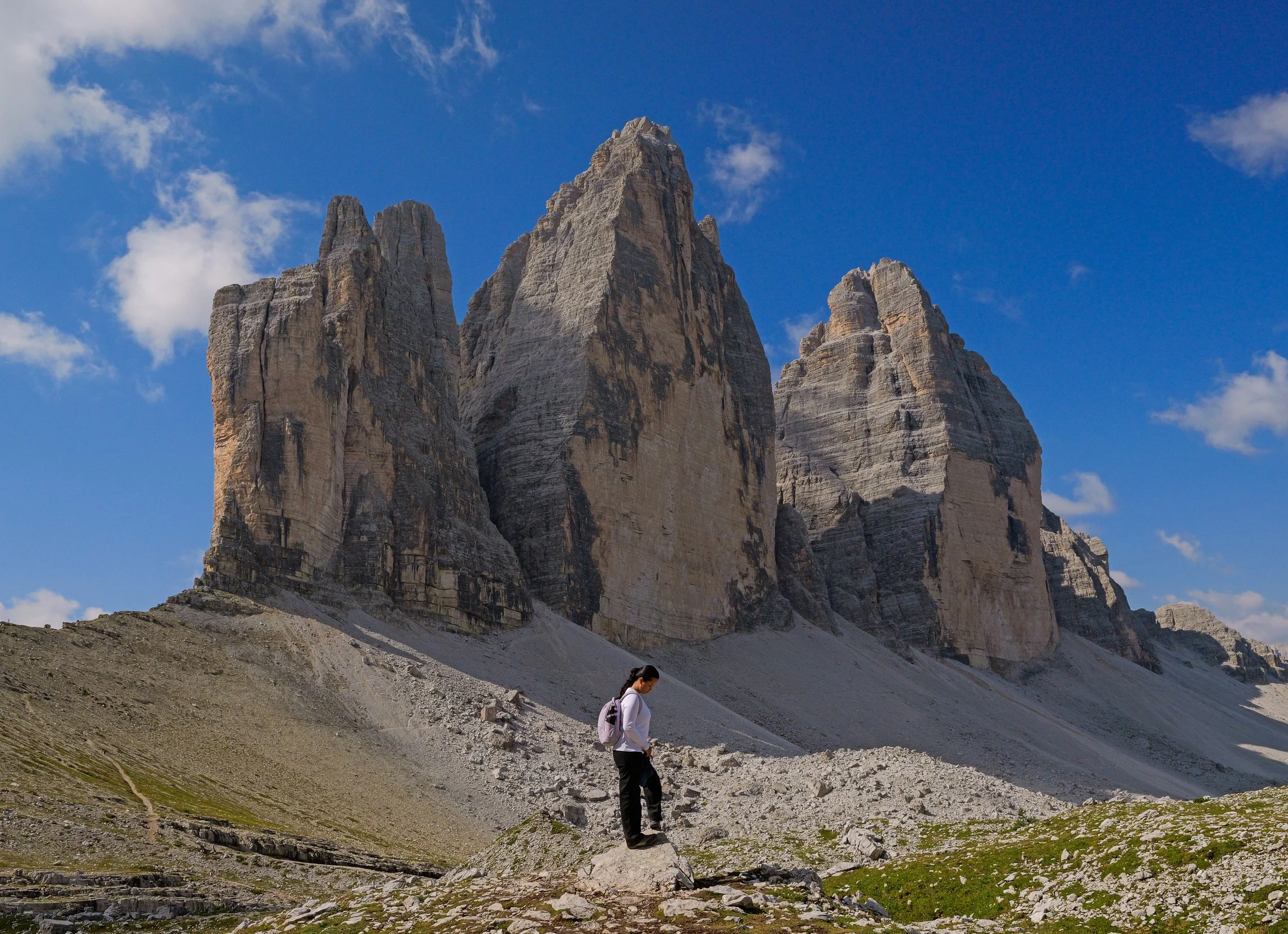
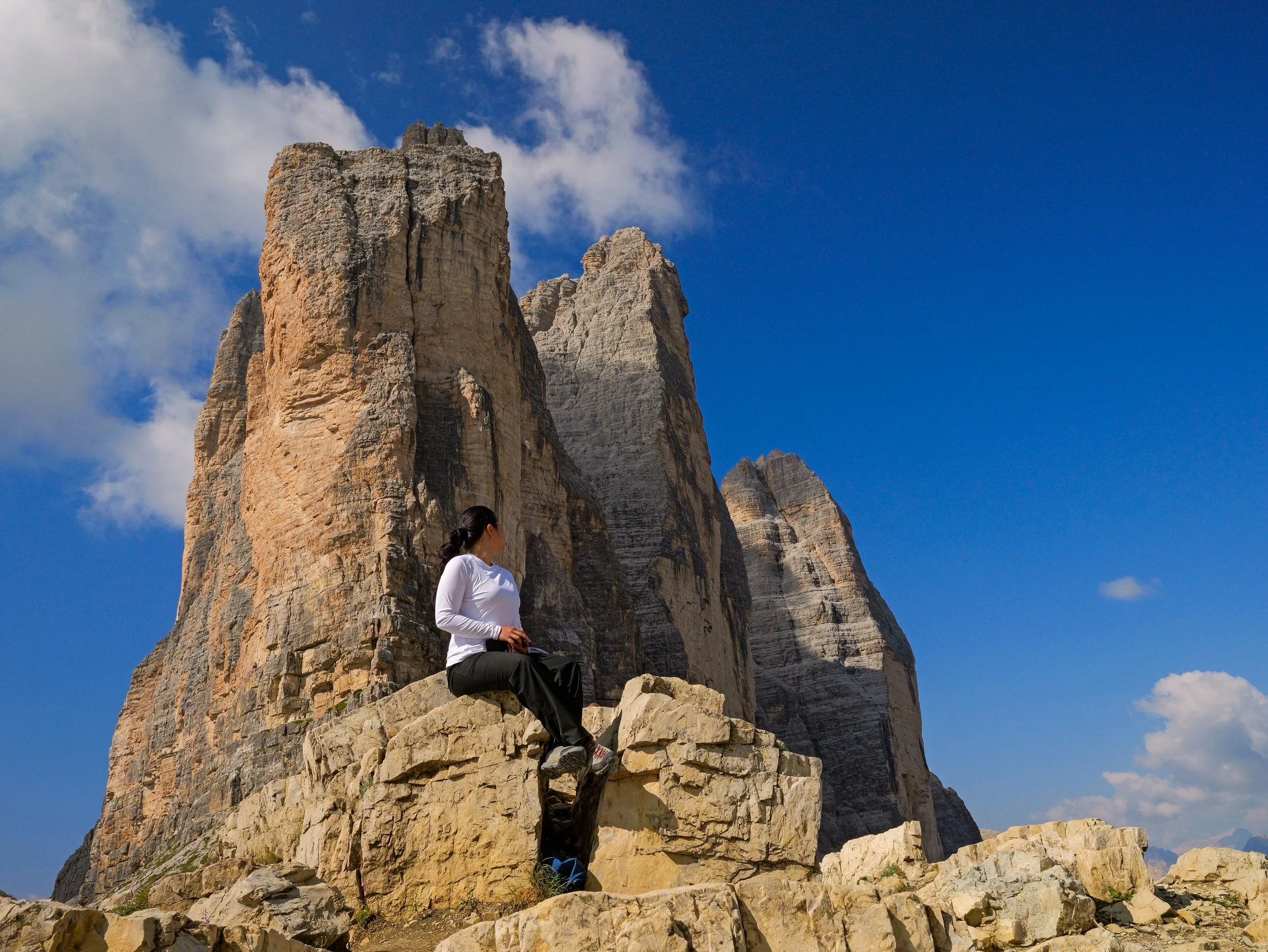
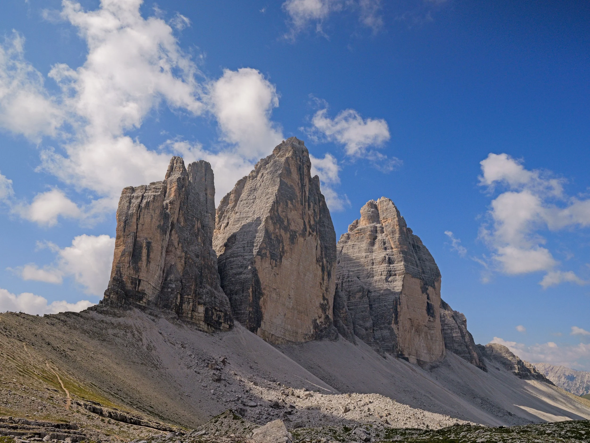
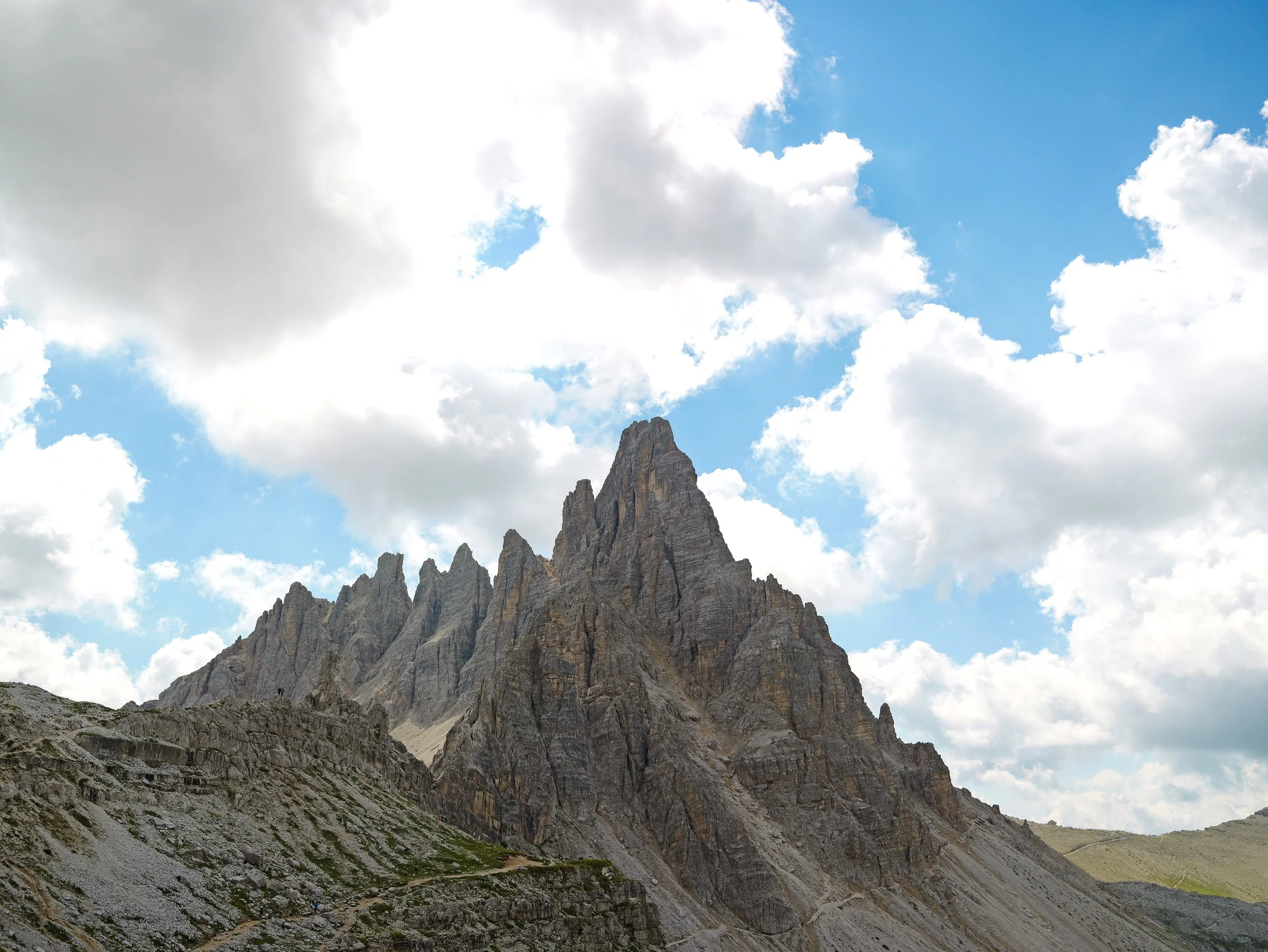
From Forecella Lavaredo, you can either end your hike there and head back to the trailhead or keep going to Rifugio Locatelli. I highly suggest going further because the views are absolutely worth it. Just look at these photos:
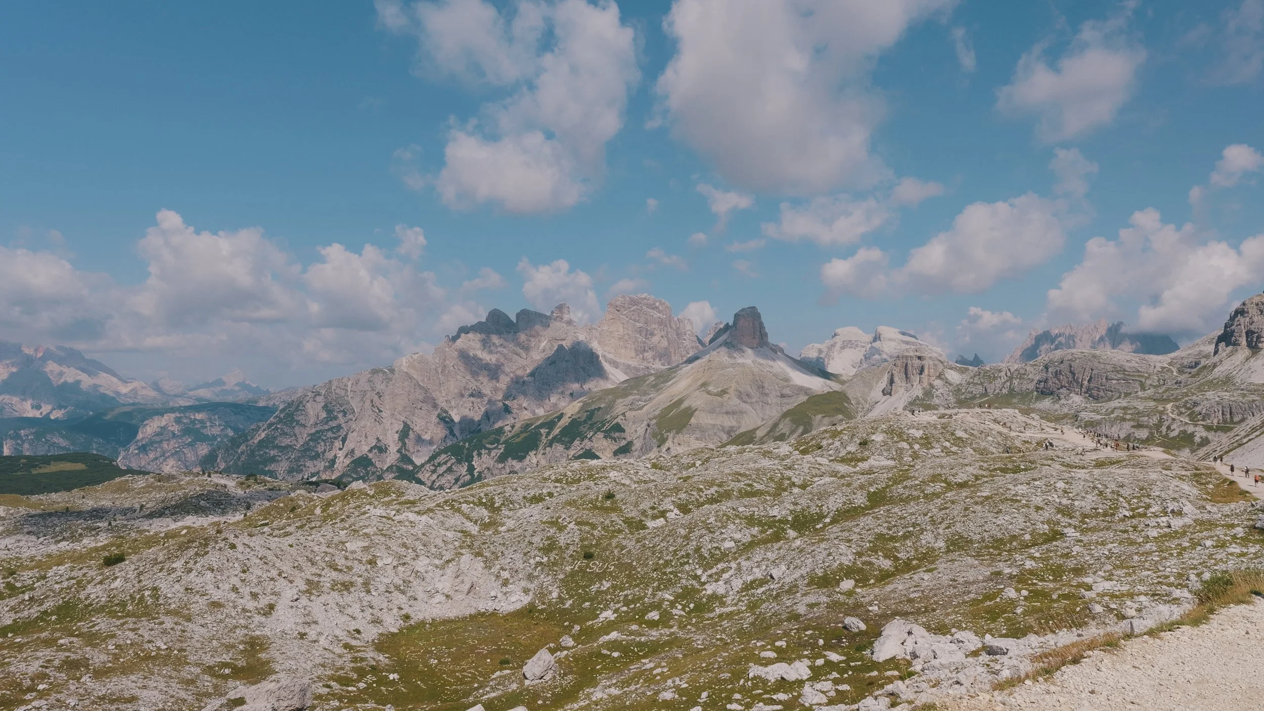
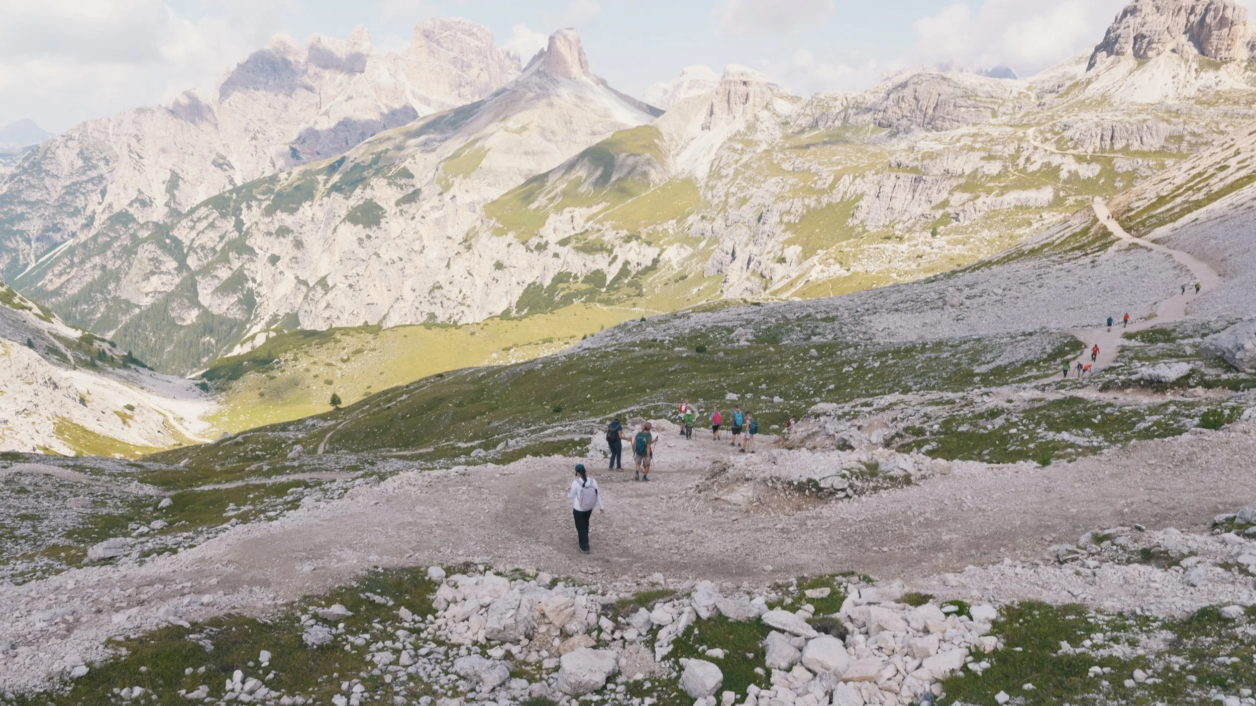
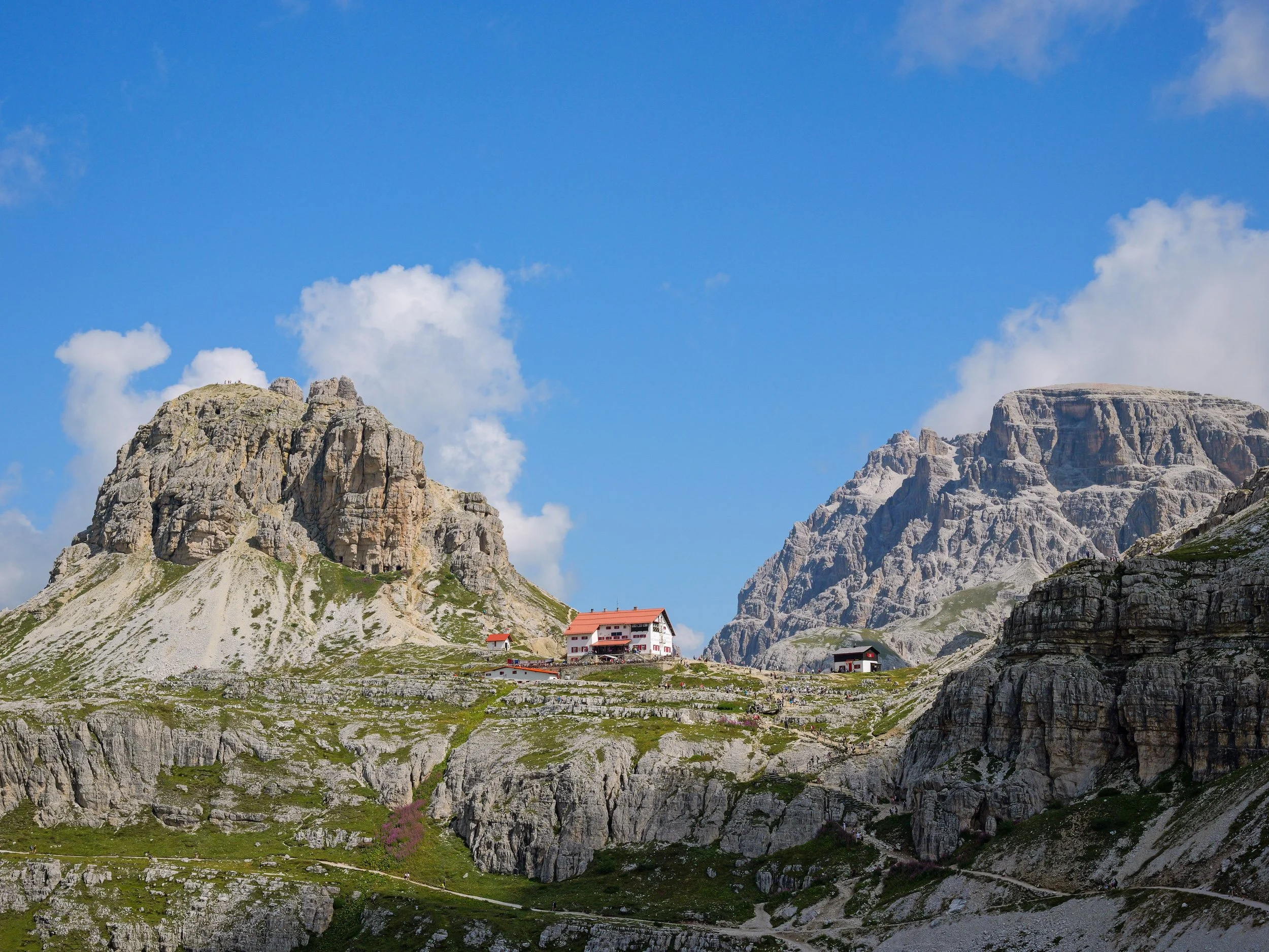
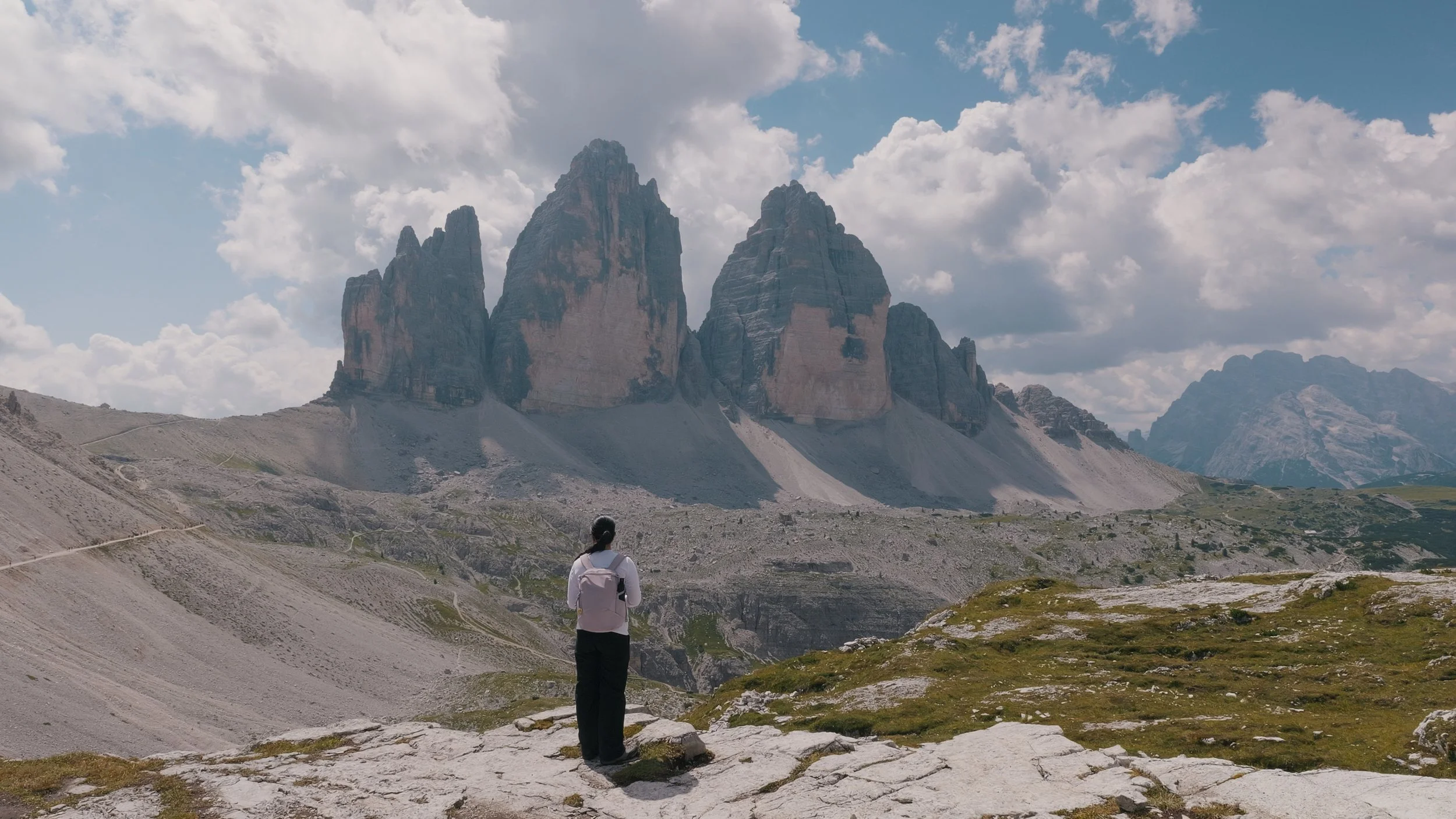
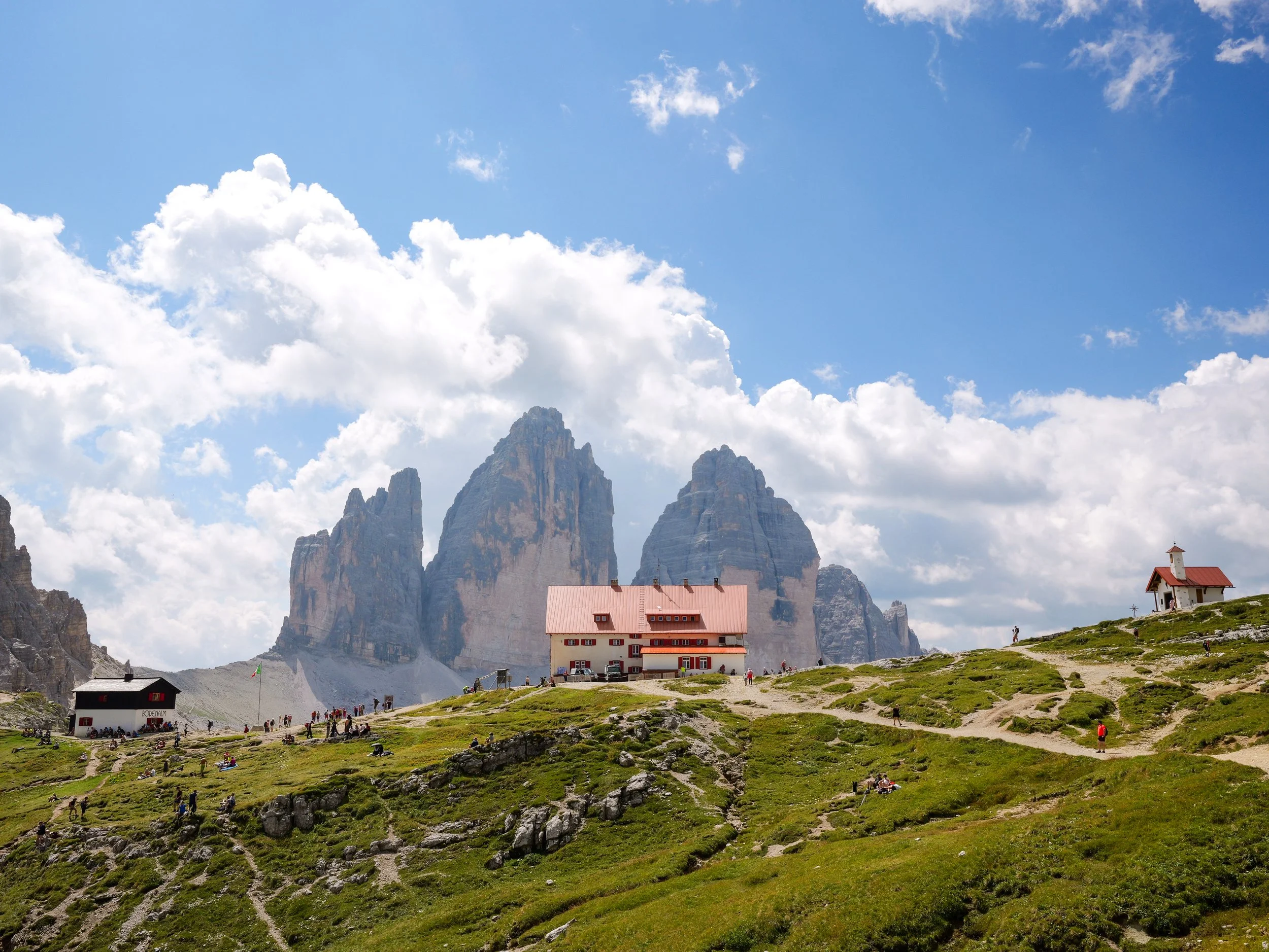
It took us about 45 minutes to reach Rifugio Locatelli from Forcella Lavaredo and 2 hours and 10 minutes from the trailhead. From here, you get unobstructed views of the Three Peaks. We also stopped by for some drinks and a pretzel.
LAGHI DEI PIANI
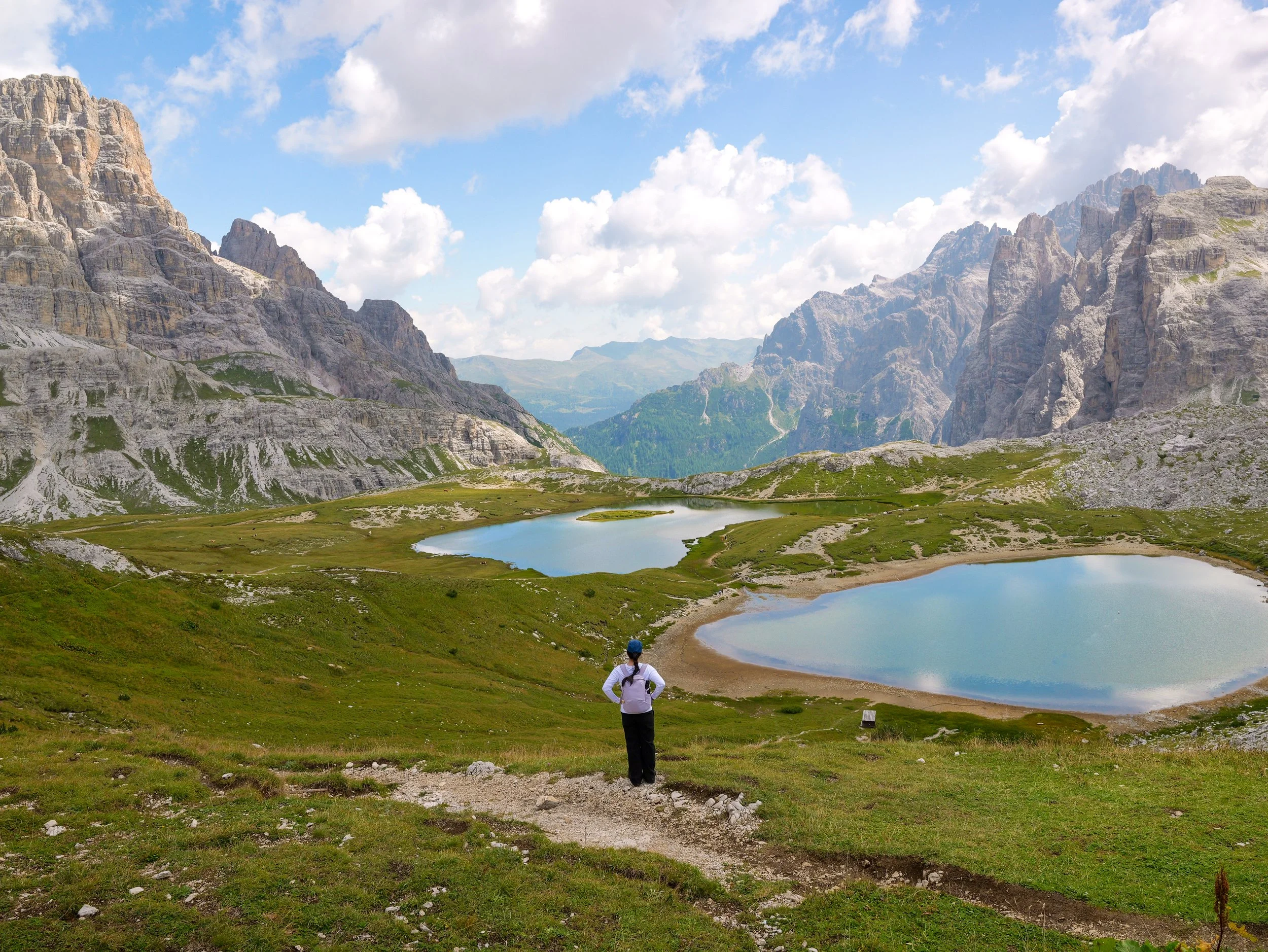
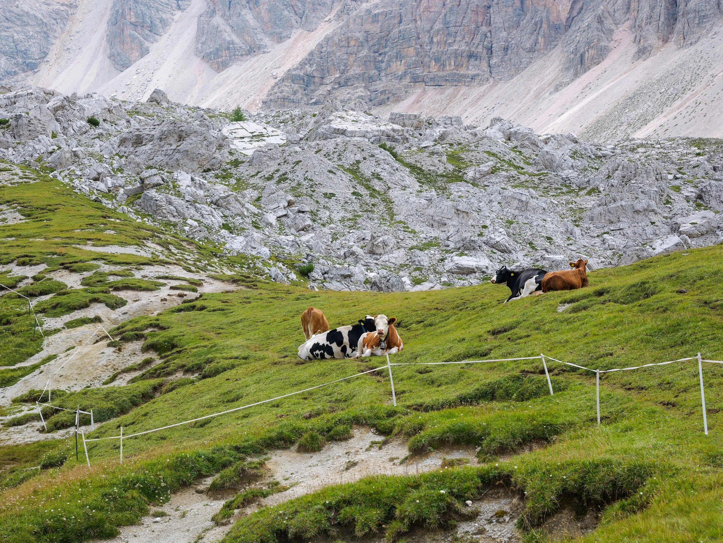
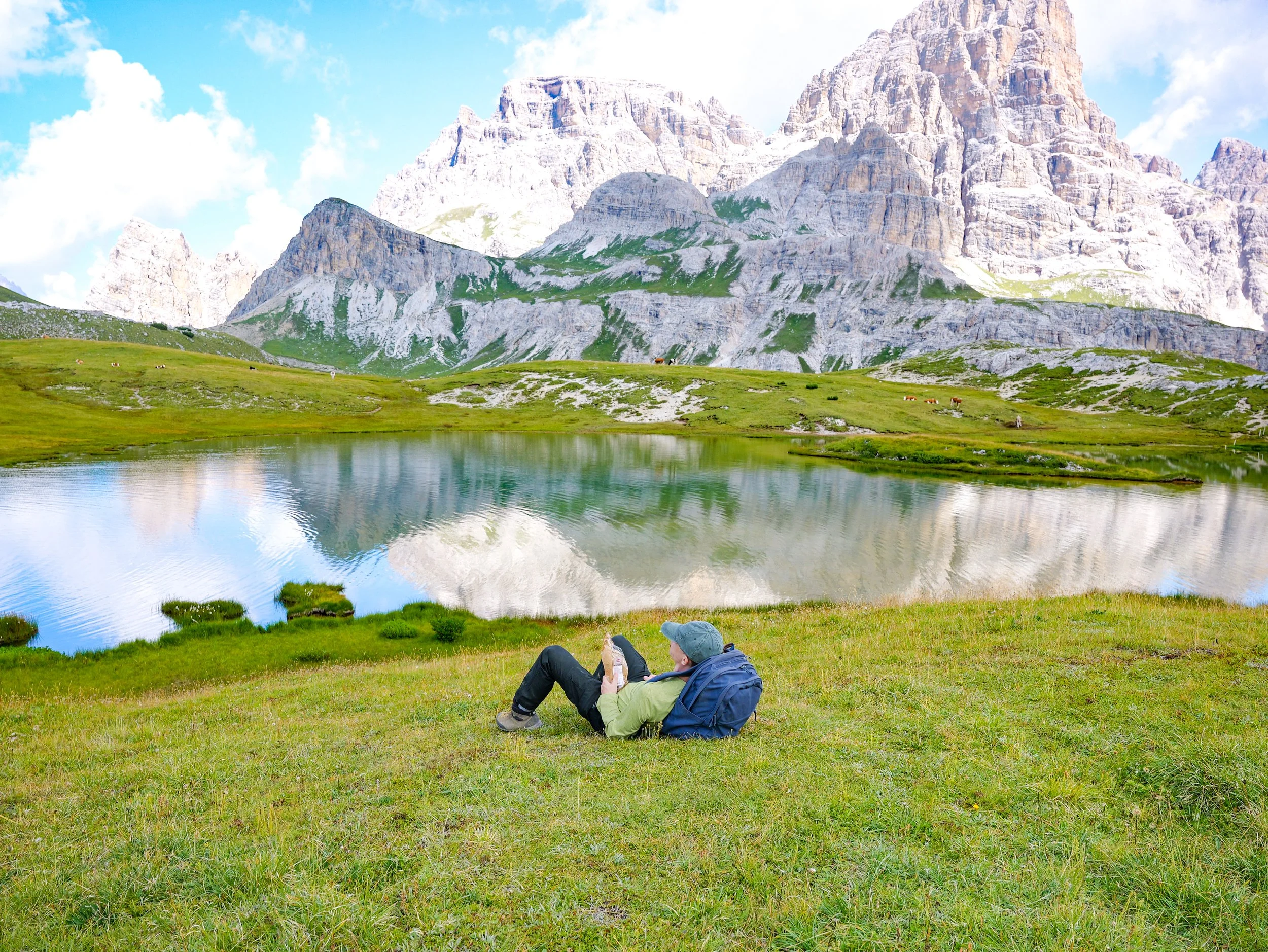
Another unmissable sight here is Laghi dei Piani. It is just right below Rifugio Locatelli, and if you have the time, you might as well get down there. There are more cows!
RIFUGIO LOCATELLI TO MALGA LANGE ALM
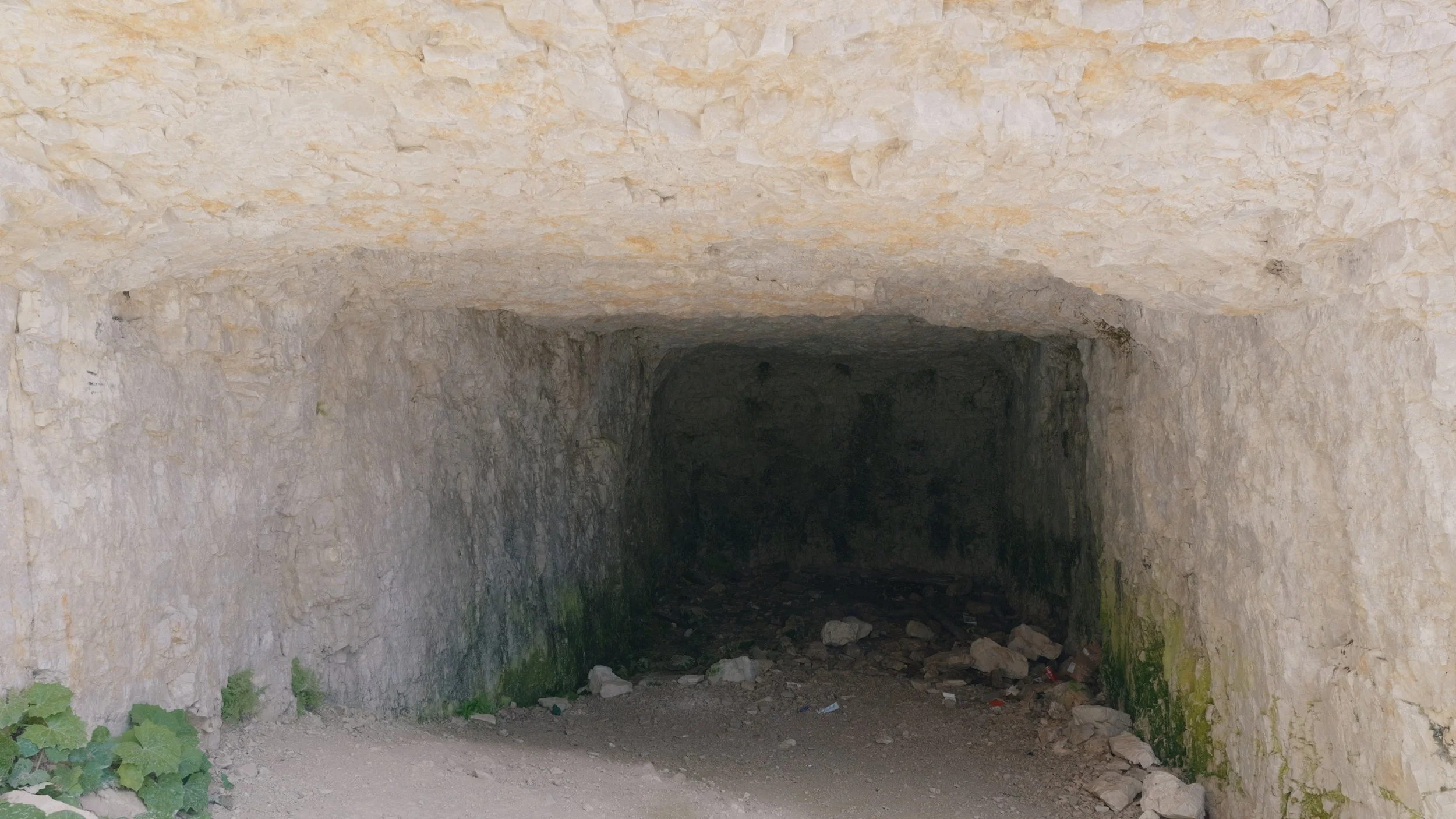
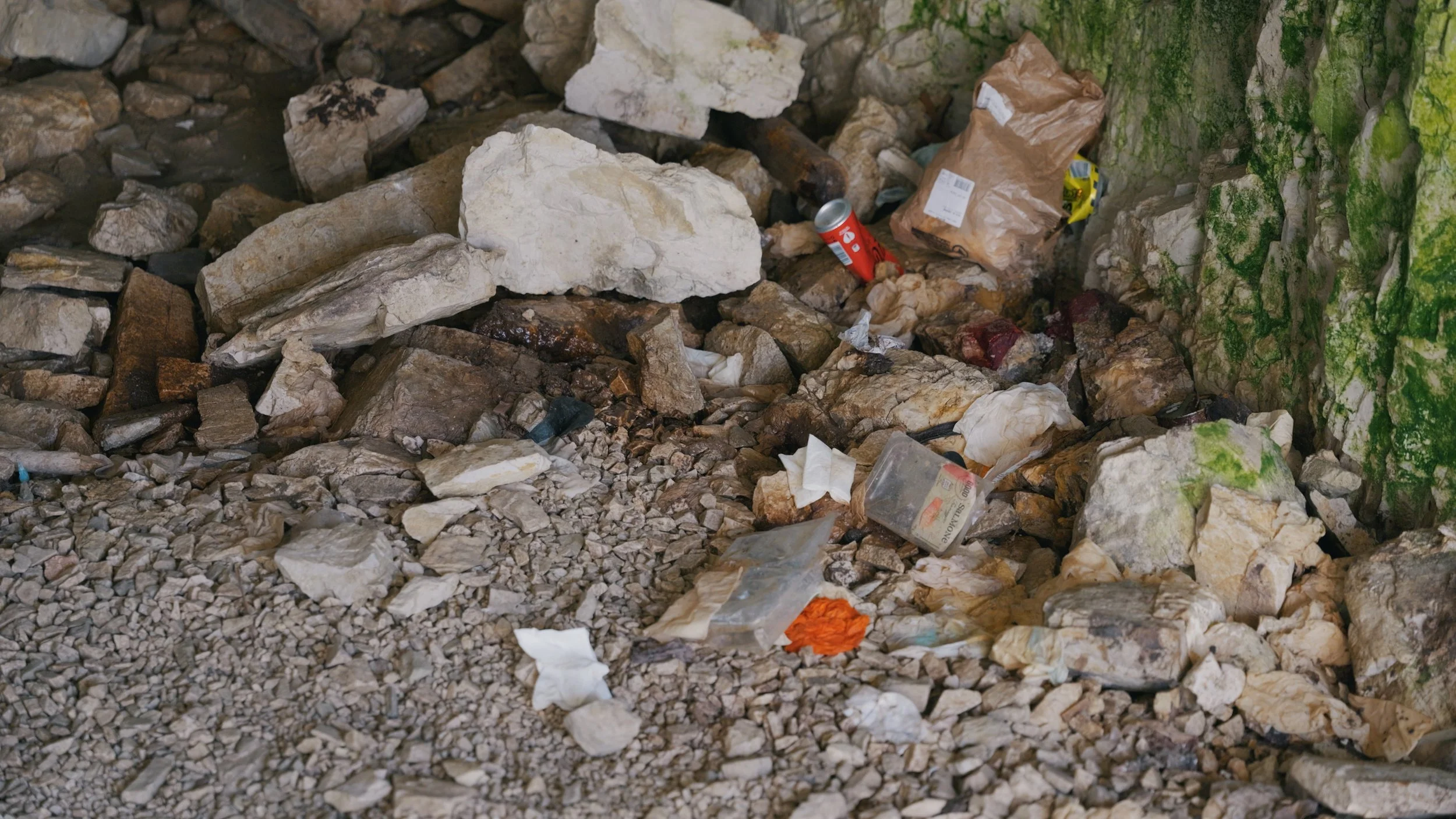
After hanging out with the cows at Laghi dei Piani, we started hiking towards Malga Lange Alm, and on our way back, we passed by this cave. It was full of litter and smelled like piss. I just hope that when going anywhere, we learn to leave only our footprints behind. Littering is really something I cannot comprehend. Let’s do better.
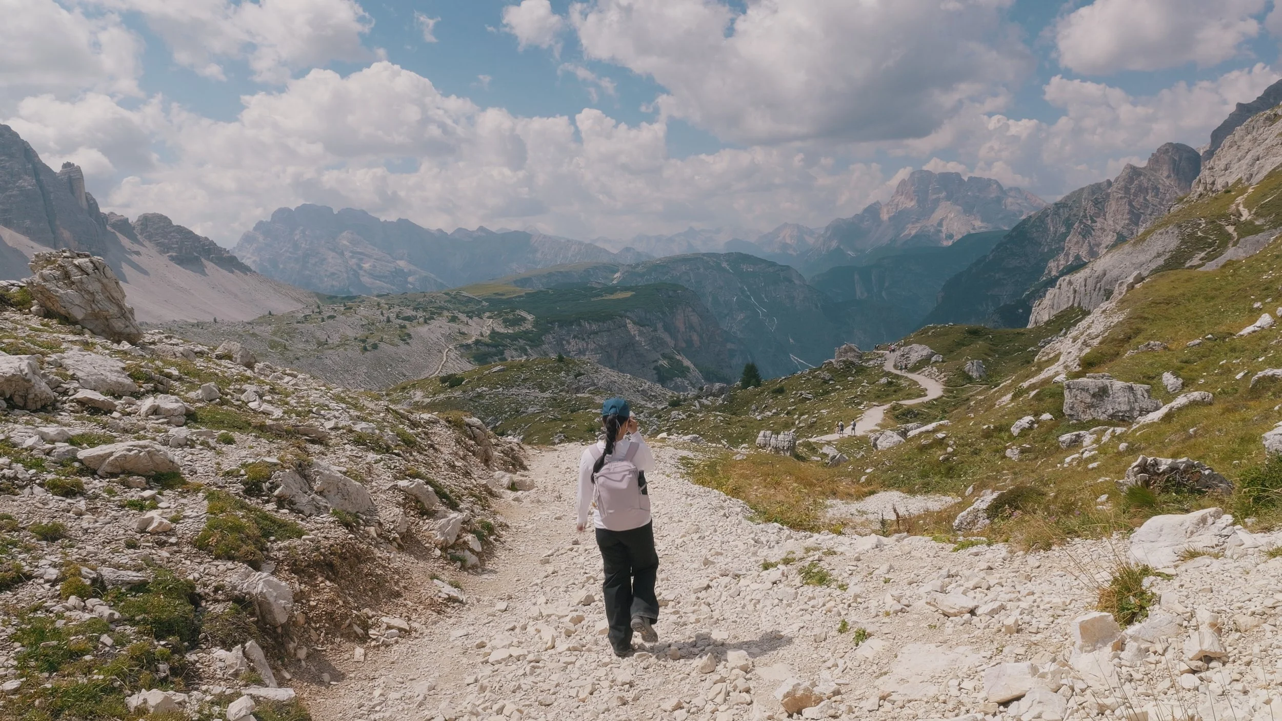
The trail from Rifugio Locatelli to Malga Lange Alm was mostly downhill so prepare your knees, but the views were insane. When coming to the Dolomites, make sure you wear grippy shoes because there are a lot of loose rocks, and you might trip and fall. When we hiked to Monte Specie the day after, the trail was like this as well.
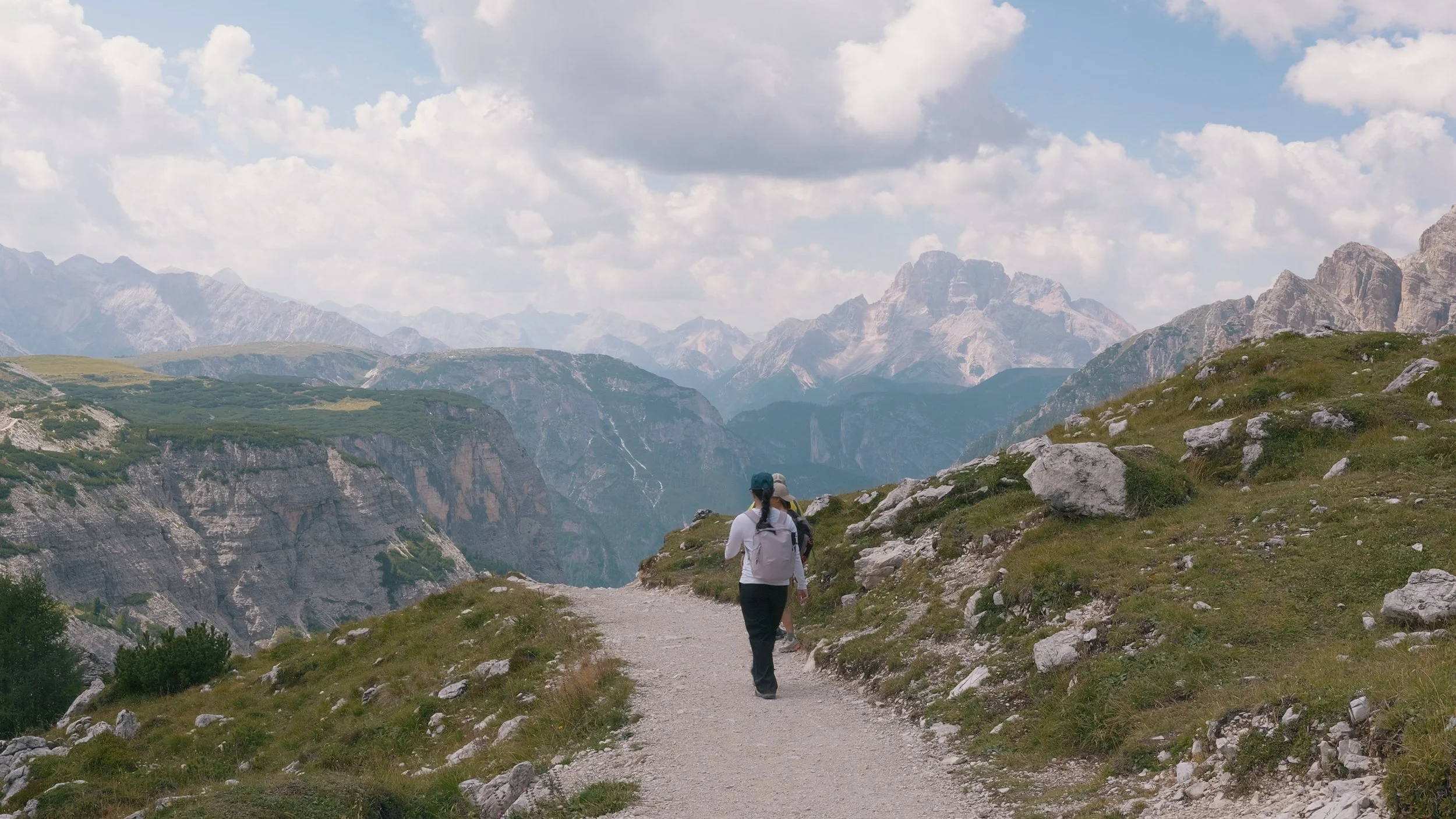
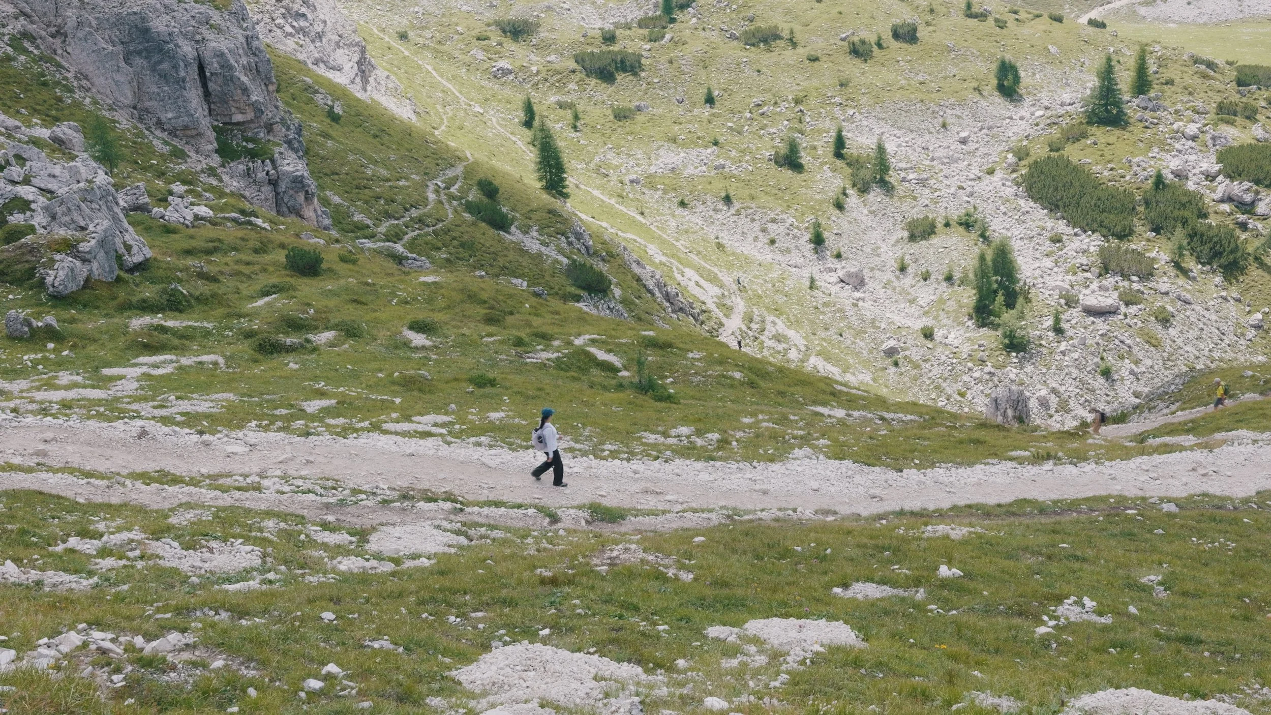
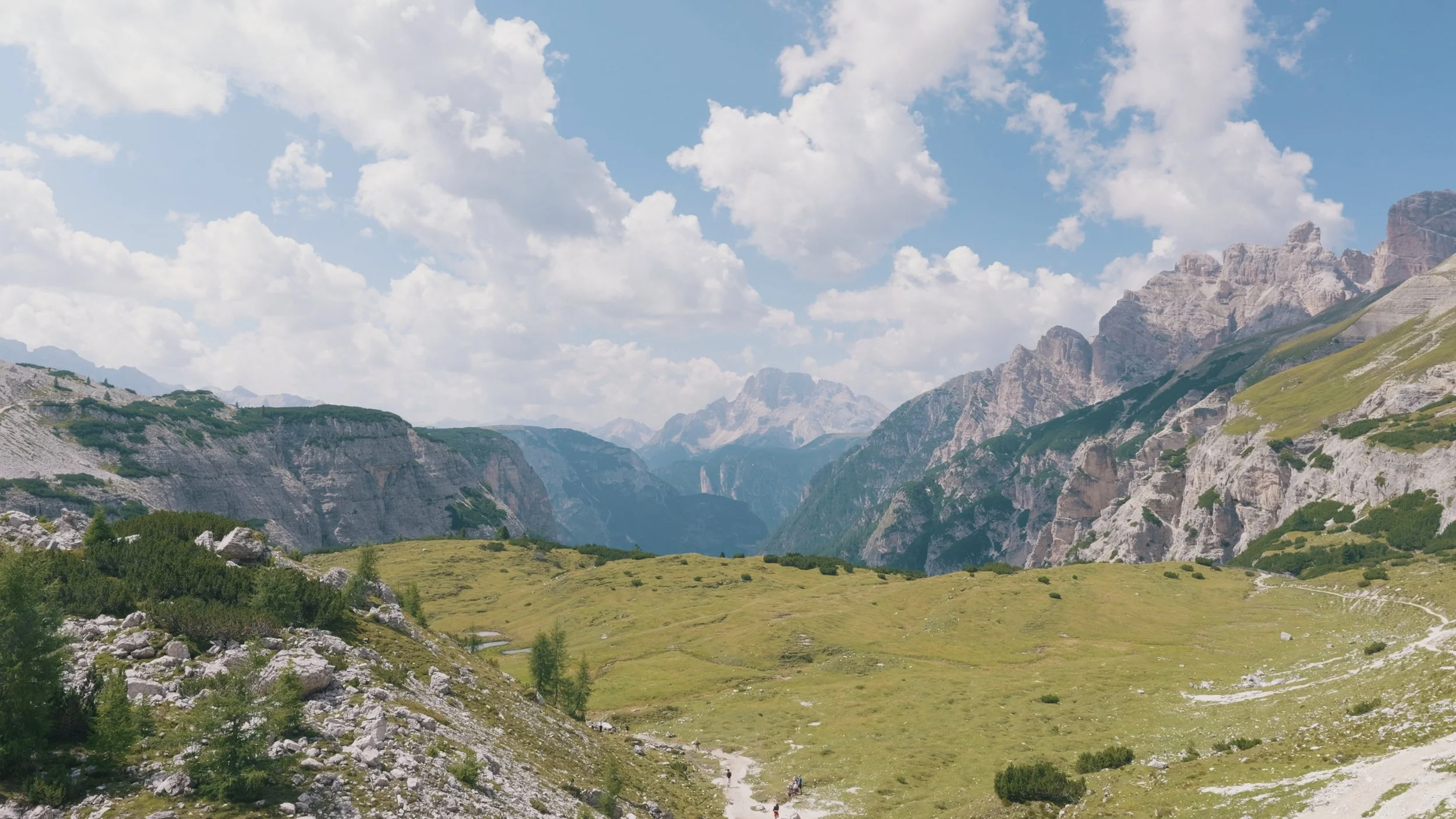
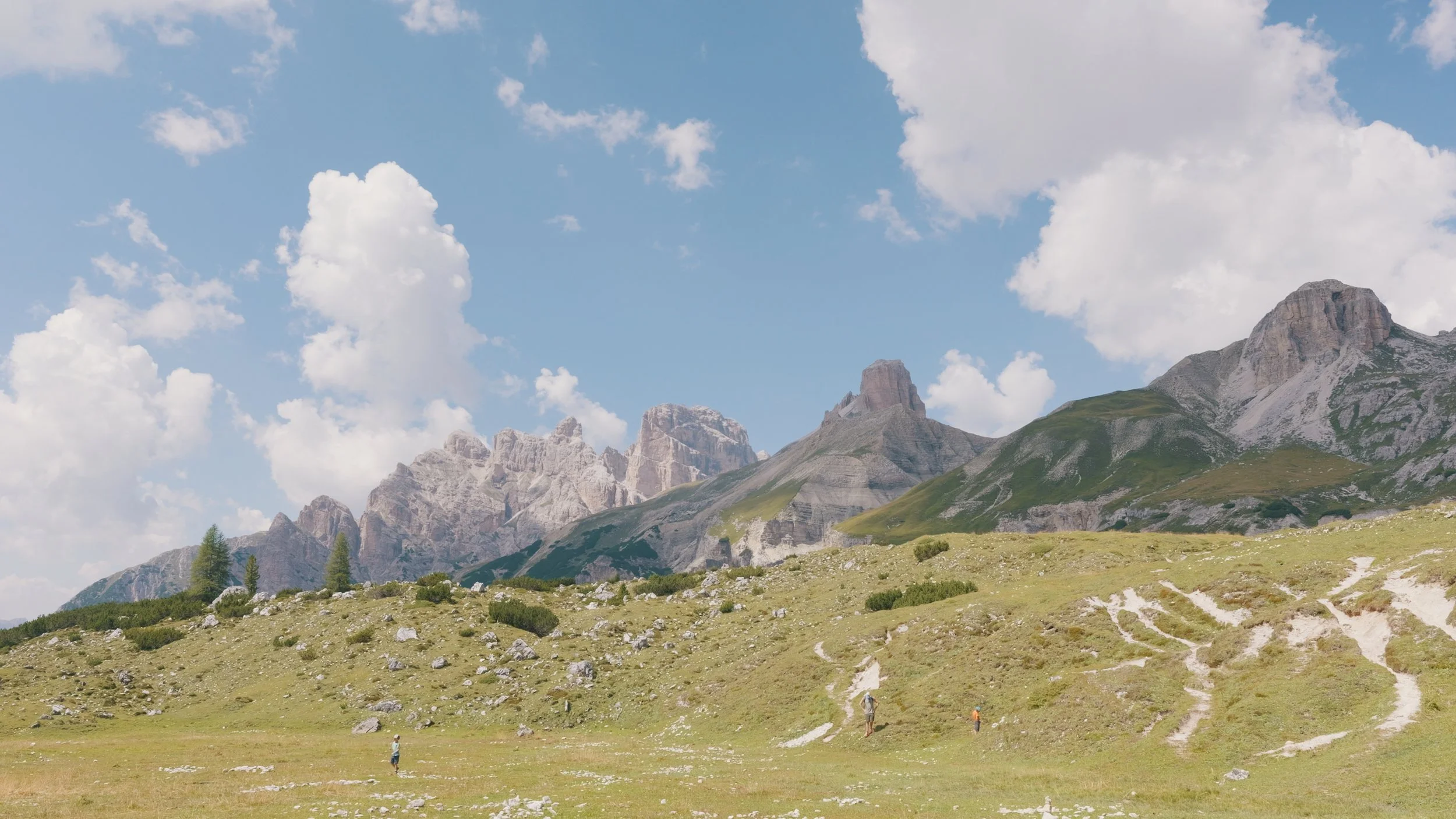
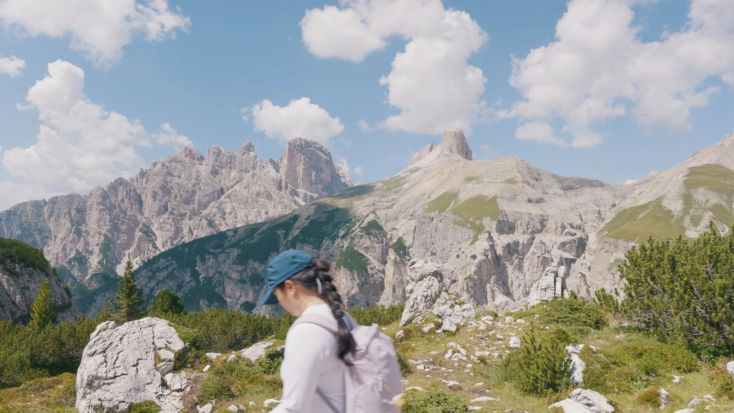
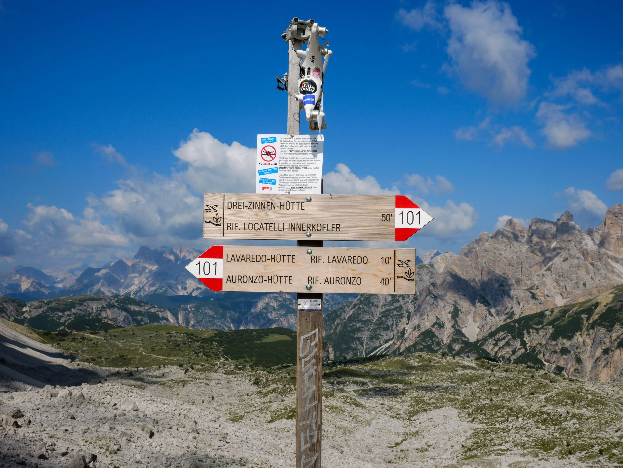
It took us an hour and thirty minutes to reach Lange Alm, it was crowded and we weren’t really that hungry, so we didn’t feel like stopping by. There is also a reminder here to not fly drones in the National Park.
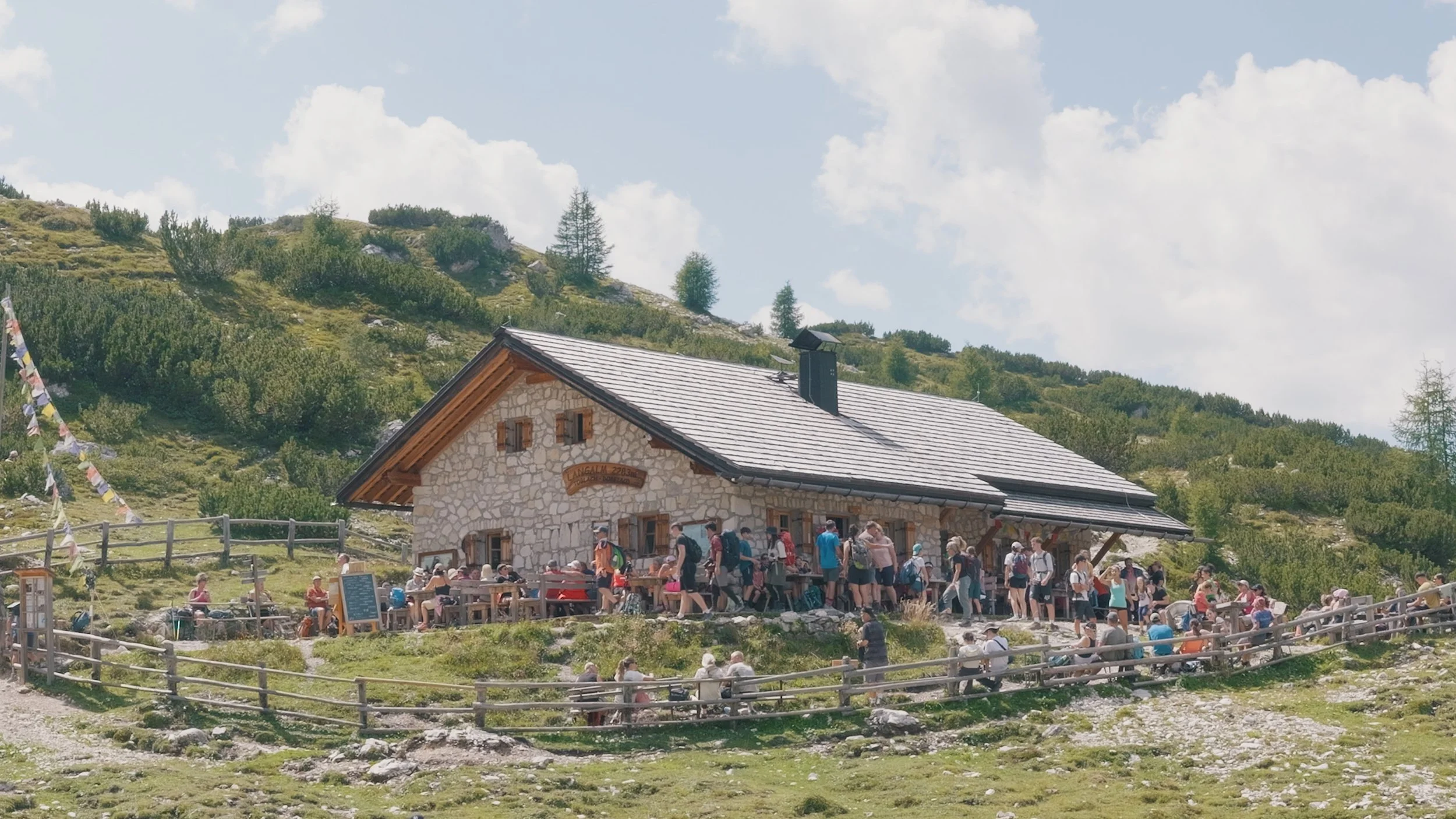
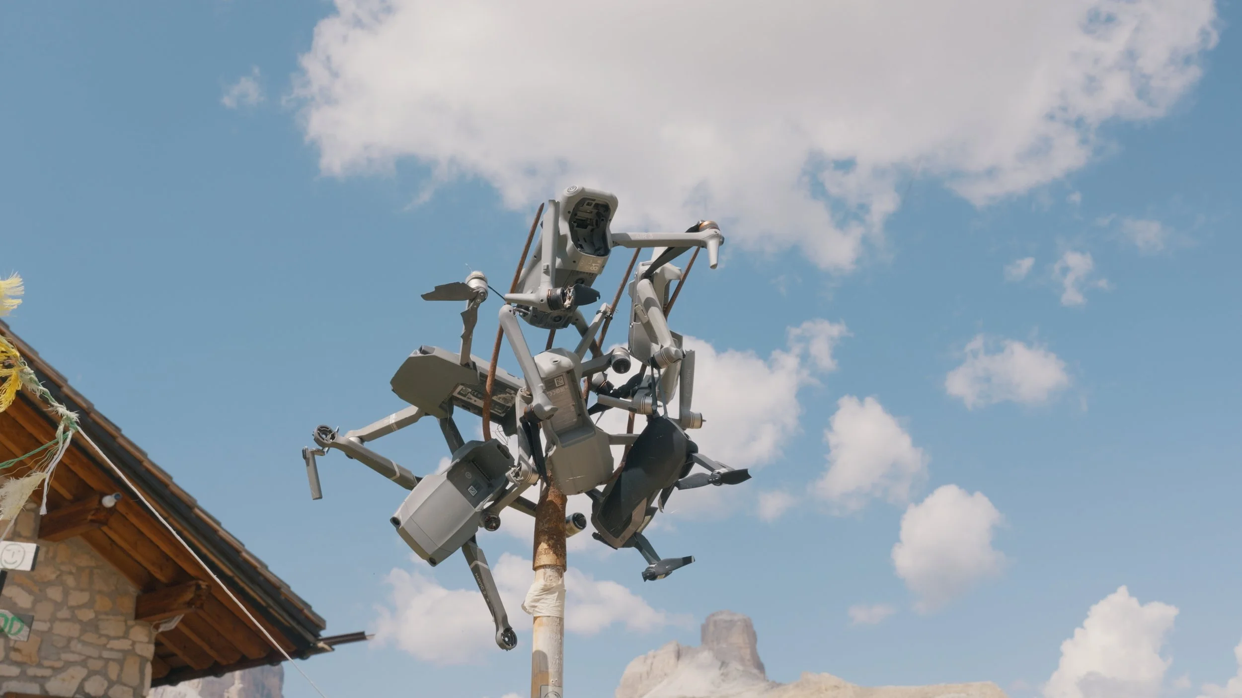
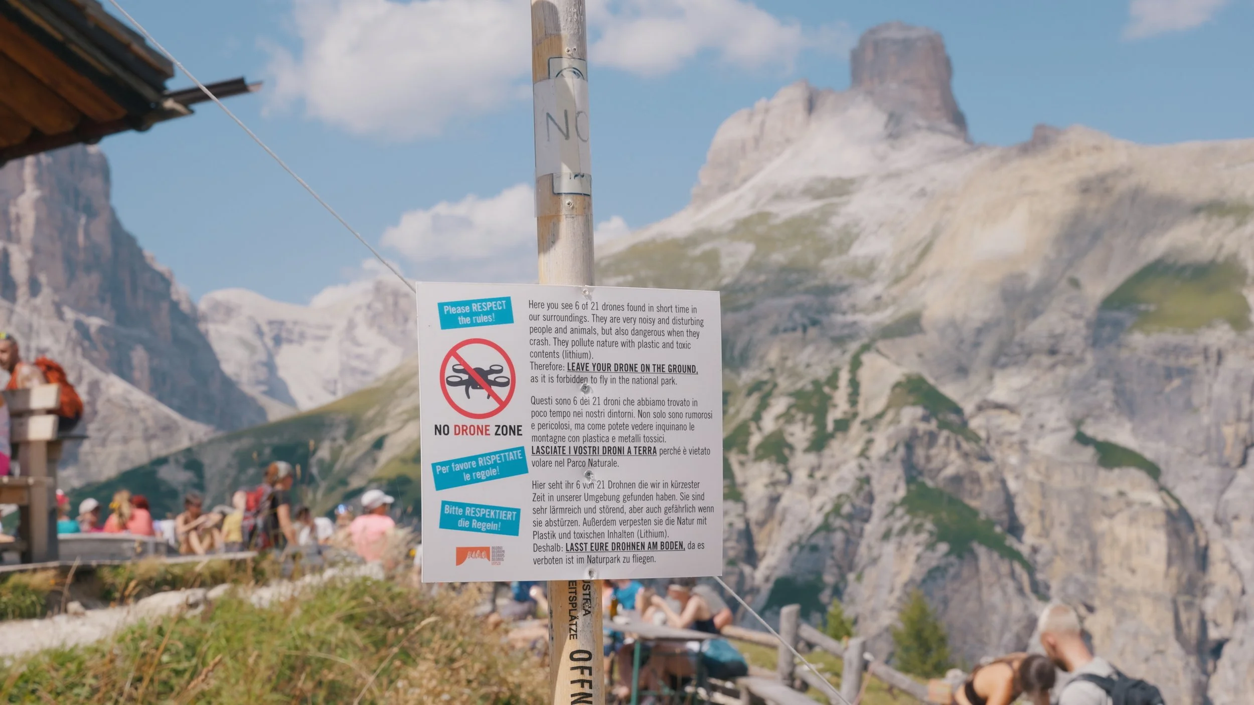
MALGA LANGE ALM BACK TO RIFUGIO AURONZO
The last stretch from Malga Lange Alm back to Rifugio Auronzo took us an hour. At the Rifugio, we had another cup of coffee and a cake while we waited for our bus.
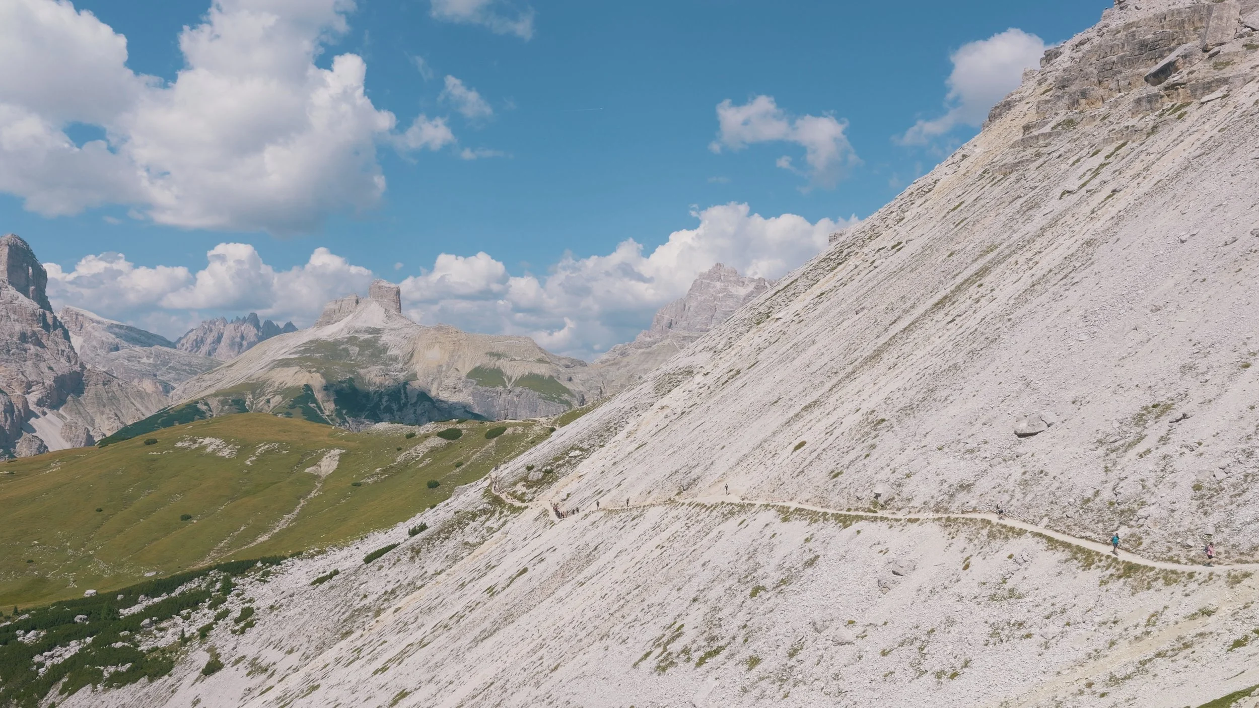
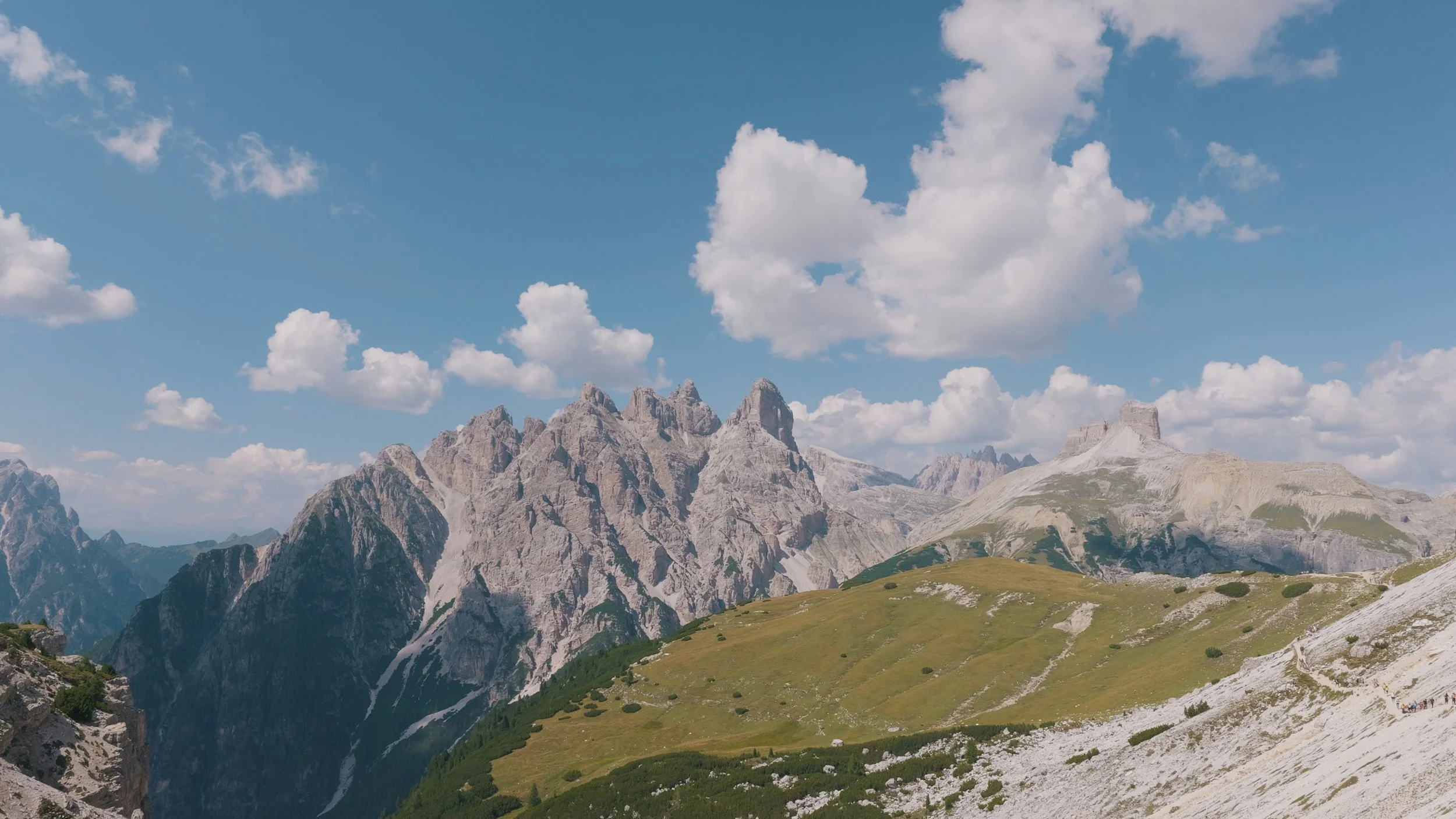
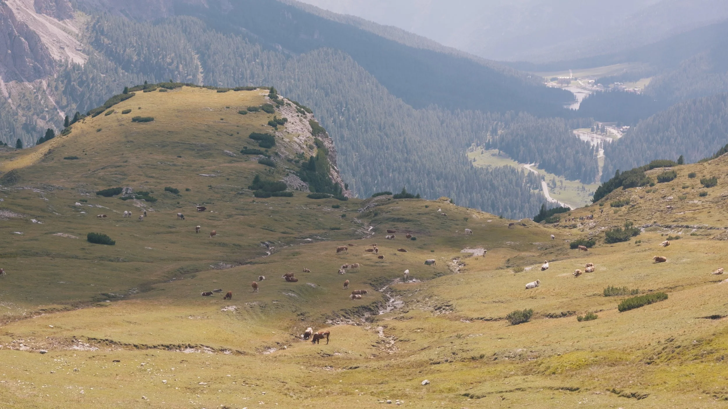
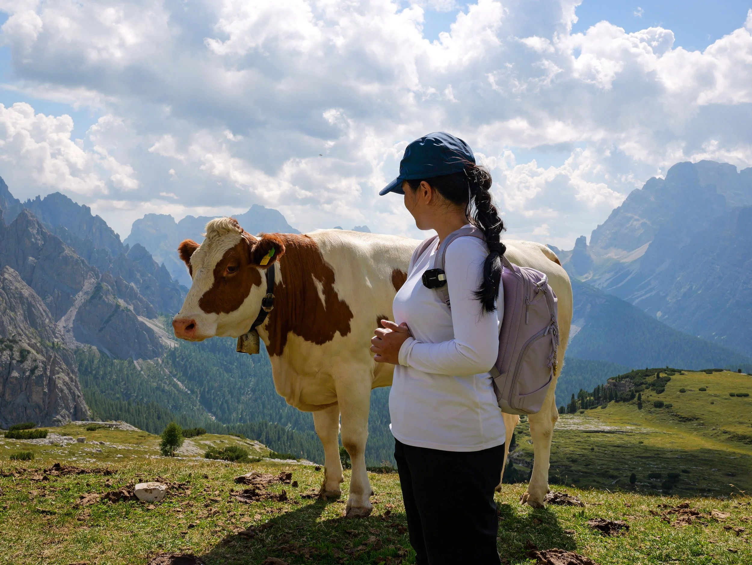
All in all, this hike was neither too easy nor too hard. It took us 6 hours and 30 minutes, including breaks. On a good day with good weather, your eyes will feast on the view around you. You may also stay at one of the rifugios nearby so you can really take in all the scenery. And again, make sure you wear good shoes. You may also do this hike with Cadini di Misurina. They both start from Rifugio Auronzo. We were not able to do it because my feet started forming blisters :(
That is all for our Tre Cime Loop Hike report! Hope this has been helpful.
See you on the trails, everyone!
